Geographies of Home
(Work in progress)
From green cantonments to quiet corners of the city, and from mountains to riversides, each place I’ve called home has left an imprint. These maps, created using satellite imagery and NDVI processing, capture the spatial patterns of the regions that have been part of my life. They are a reflection of place, memory and experience.
Creating these maps became a way to revisit the landscapes I’ve wandered through in my formative years. Each map carries its own color palette, drawn from memories connected to that place. Through this blend of data and memory, the geographies of my homes come alive, tracing both the land and my experiences within it.

Tezpur, Assam
Blues represent the river and the city, the two landscapes that hosted most of my explorations. Yellows mark the sandy zones and surrounding farmlands, recalling drives, picnics, and softer edges. Reds fill the unfamiliar territories, the forested and restricted areas that felt distant, dangerous, or unknowable.
Dehradun, Uttarakhand
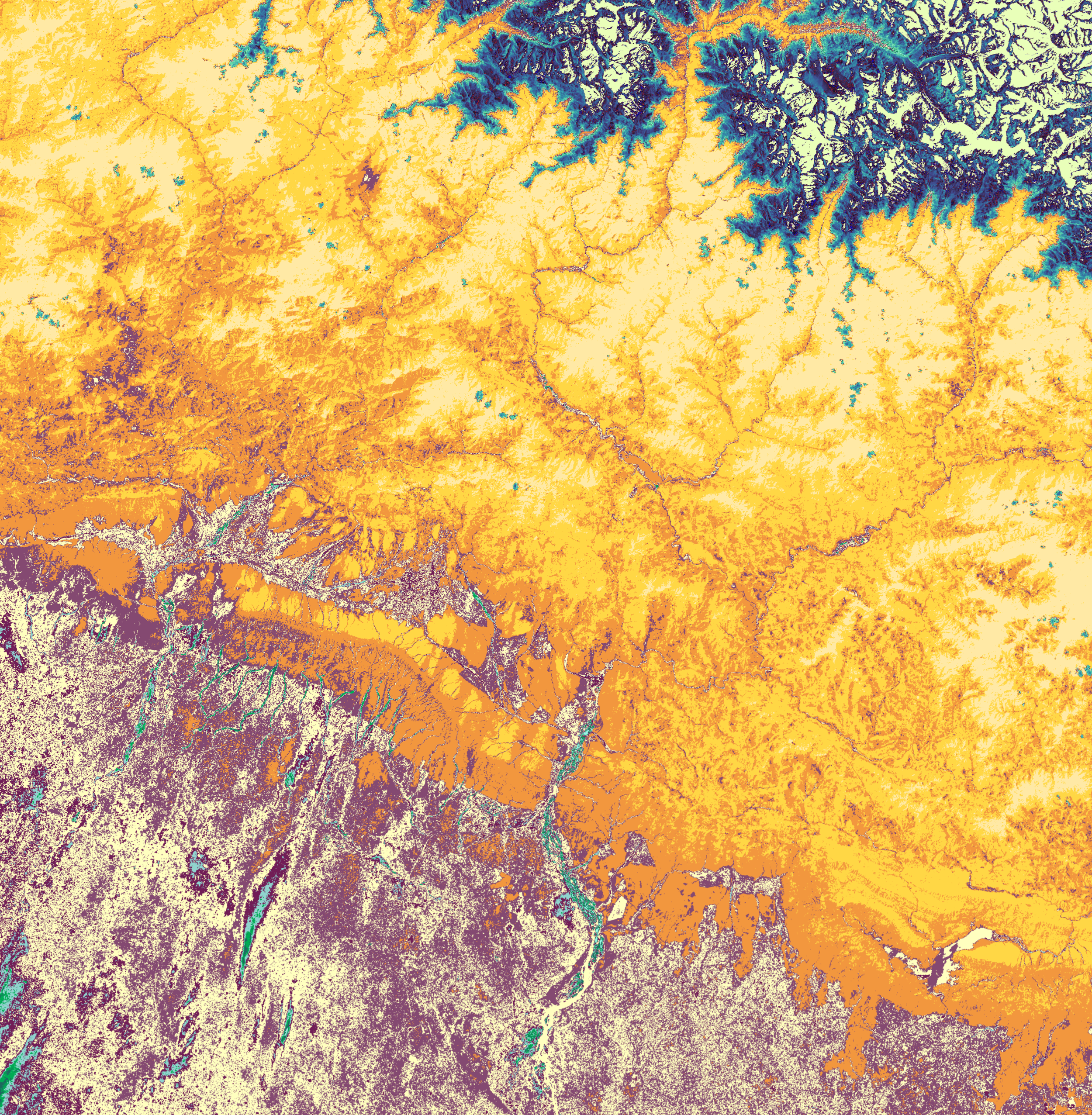
Purple and off white indicate the city and its built areas, grounding the map in the place we lived. Yellows and oranges highlight the hills, the ones we visited often and saw vividly in our daily life. Blues sit quietly on the distant snow peaks, only glimpsed from certain parts of the city. Teal and cyan trace the streams, cool threads of water running through the landscape, where we spent hot summer days.
Jabalpur, Madhya Pradesh
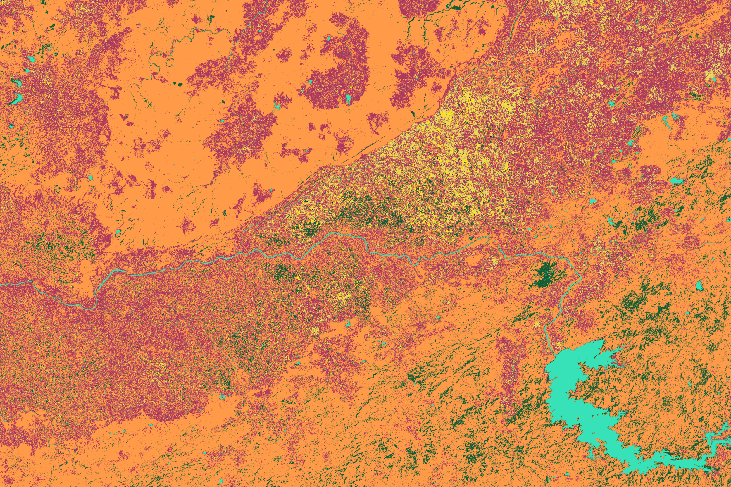
Yellow captures the city, bright and lively with movement and memory. Greens cover the forested areas, dense, layered, and alive. Orange marks the drier forest zones, places of heat, scrub, and rough textures. Blue follows the Narmada, the river that sustains this landscape.