Begihalli Homestead
Regenerative design and turnkey execution
January 2021 - February 2023
with Ananas Design
Role: Project lead
Collaborators: Jananee Mohan, Nikhil Rodrigues
Field work collaborators: Himanshu Arteev
Residential + industrial area, outskirts of Bengaluru, Karnataka, IN
0.43 acres | 910m ASL
Tropical wet and dry climate
960 mm annual rainfall | Clayey soil
Masterplan
Groundcover, shrubs and herbs
Trees
Built areas
Trenches, ponds and basins
Vehicular and pedestrian pathways
Design layers
This vision was to transform this small urban plot into a lush, regenerative food forest designed to be self-sustaining in terms of food, water, and energy. The design process started with a contour survey, undertaken by the design team. This was followed by studies of biodiversity, water, slope etc.
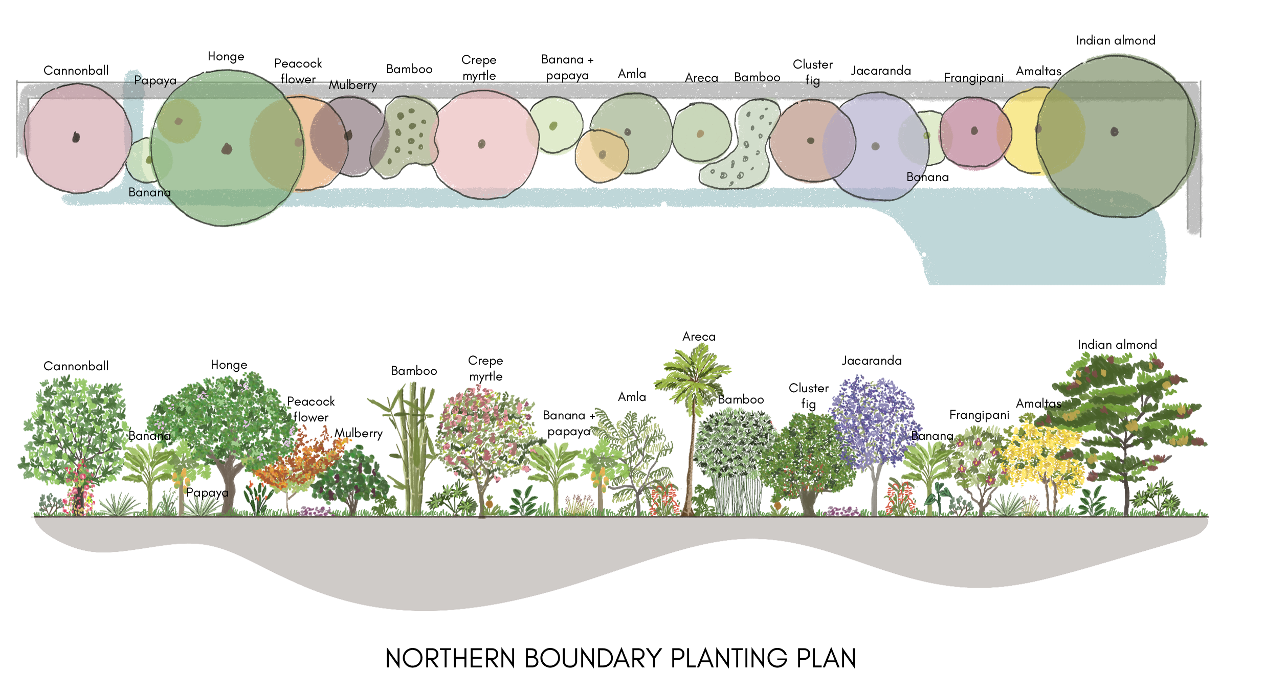
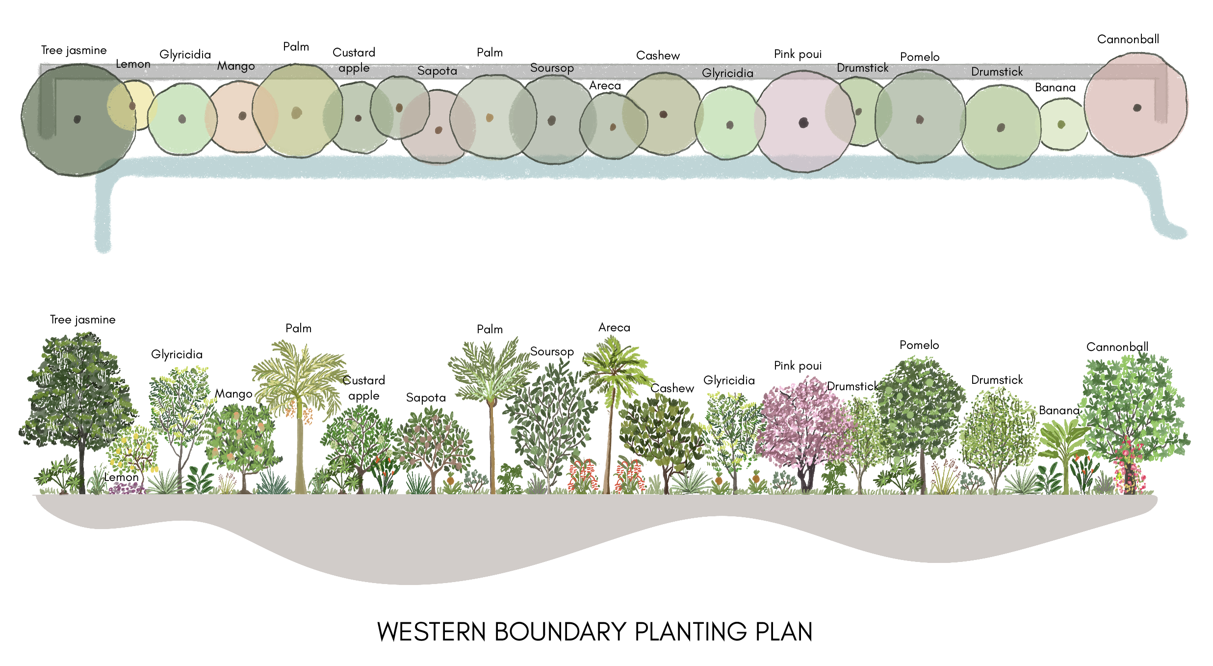
The main challenge here was that the plots surrounding the land were higher, essentially turning this parcel into a tank in high rainfall months. The water table is also quite high in the area, so central to the design was stormwater management, achieved through strategic earthworks to redirect, capture, and utilize water. The food forest, featuring native fruit trees and a dense living fence, serves as both a protective buffer and an oasis for local flora and fauna. Additionally, soil regeneration was prioritized, given the site’s contamination from construction waste. Built-up area was kept to a minimum, and the central raintree utilised as a space for a deck, which will eventually be replaced by a small home built with natural materials, once the trees are established.
Implementation phase
Initial implementation, like marking, digging + rock-lining of trenches and pond, clearing of invasives and planting of living fence was undertaken under the on-site guidance of the design team. After this initial phase, the client took the implementation forward independently, based on the maps, reports and details provided.
3D visualisations
[Drone shots by Nikhil Rodrigues]
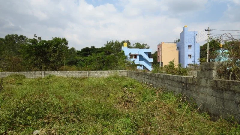
1 - Site
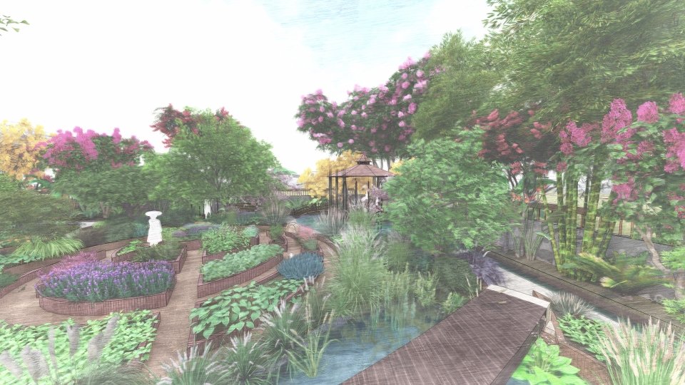
1 - Render (Veggie garden and raised pathway across basin)
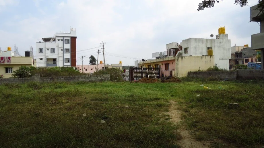
2 - Site
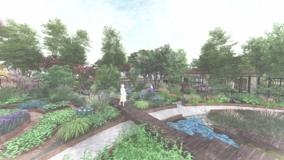
2 - Render (View of veggie garden and pollinator gardens)
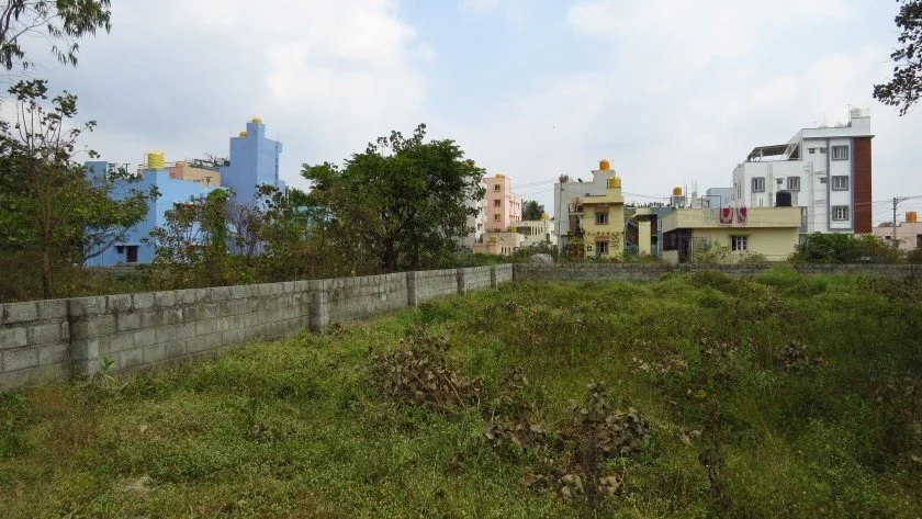
3 - Site
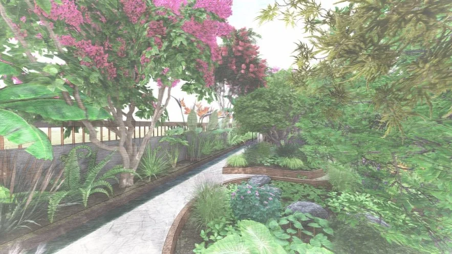
3 - Render (Northern edge with planting, trench and pathway)
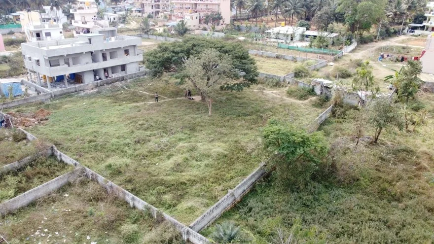
4 - Site
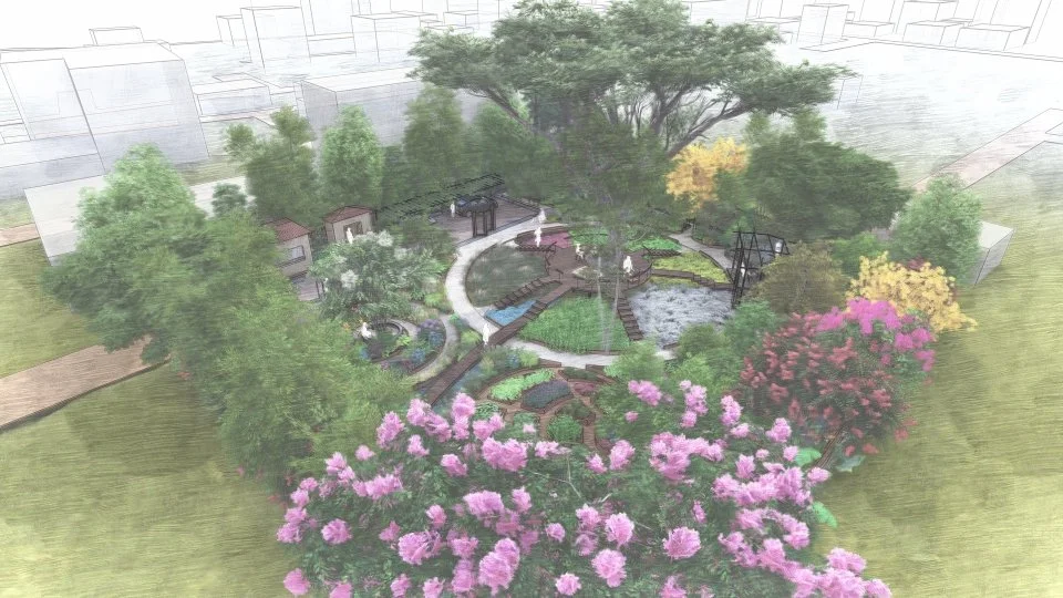
4 - Render (Aerial view from the north-east)
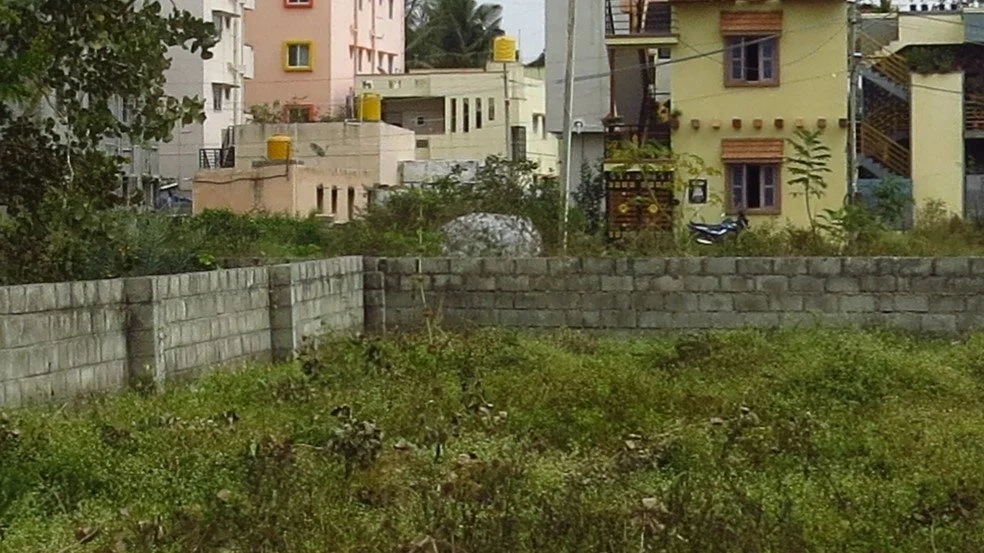
5 - Site
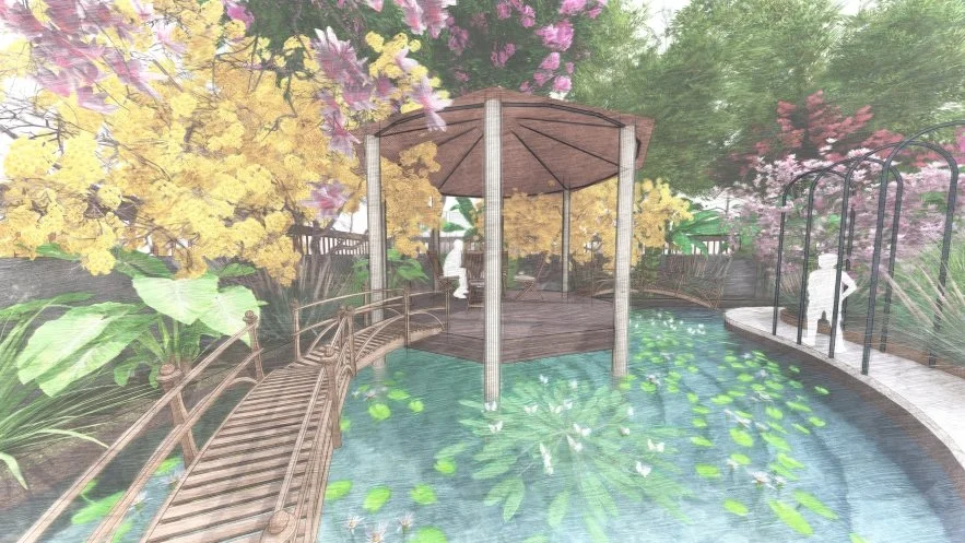
5 - Render (Gazebo and pond)
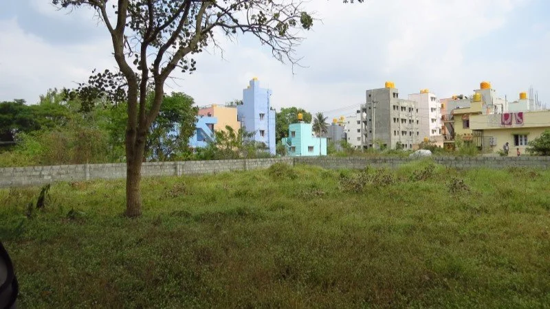
6 - Site
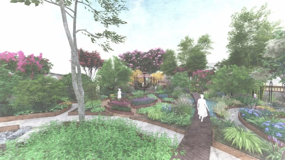
6 - Render (View from deck - veggie gardens, gazebo, basin)
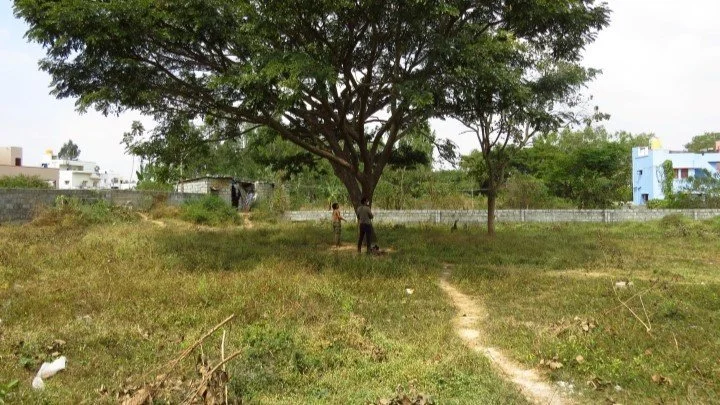
7 - Site
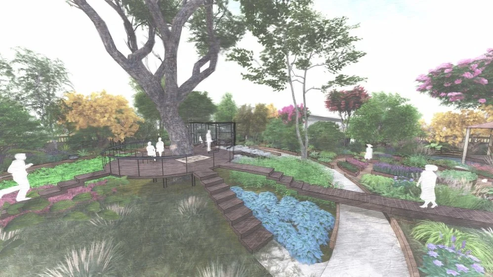
7 - Render (Raintree deck)
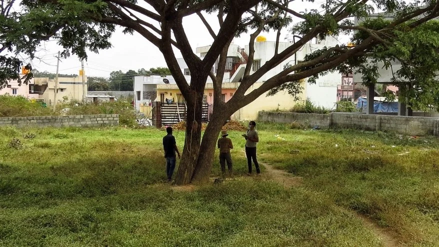
8 - Site
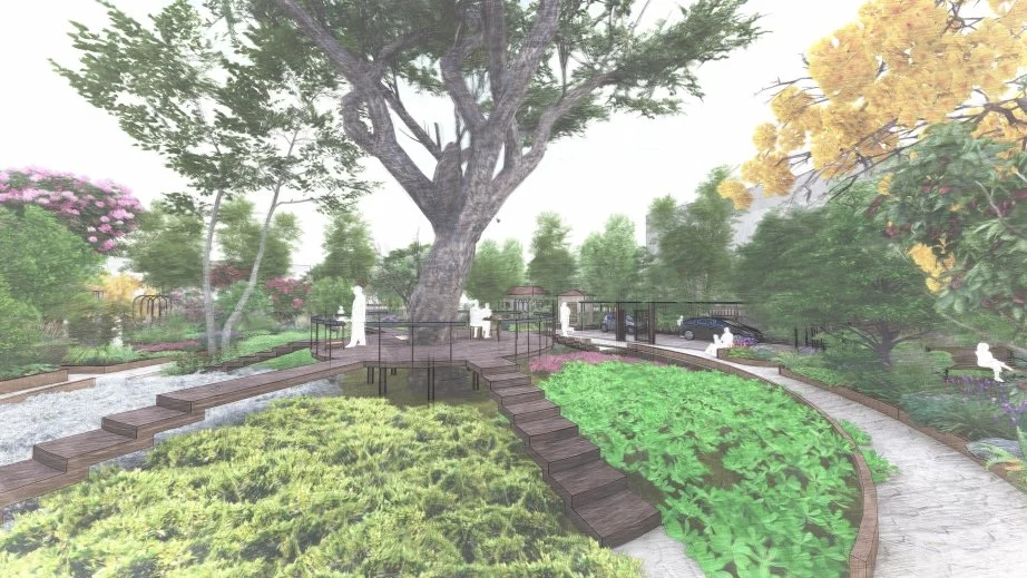
8 - Render (Raintree deck)
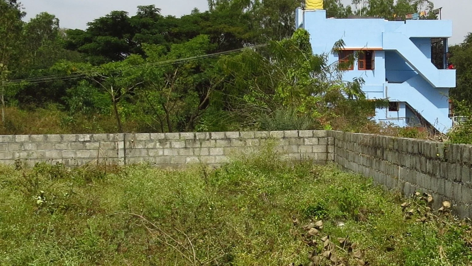
9 - Site
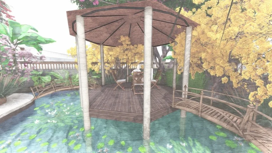
9 - Render (Northeast corner gazebo and pond)
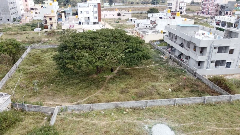
10 - Site
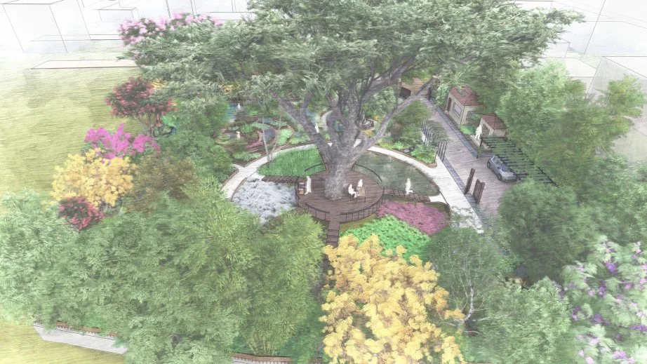
10 - Render (Aerial view from the west)
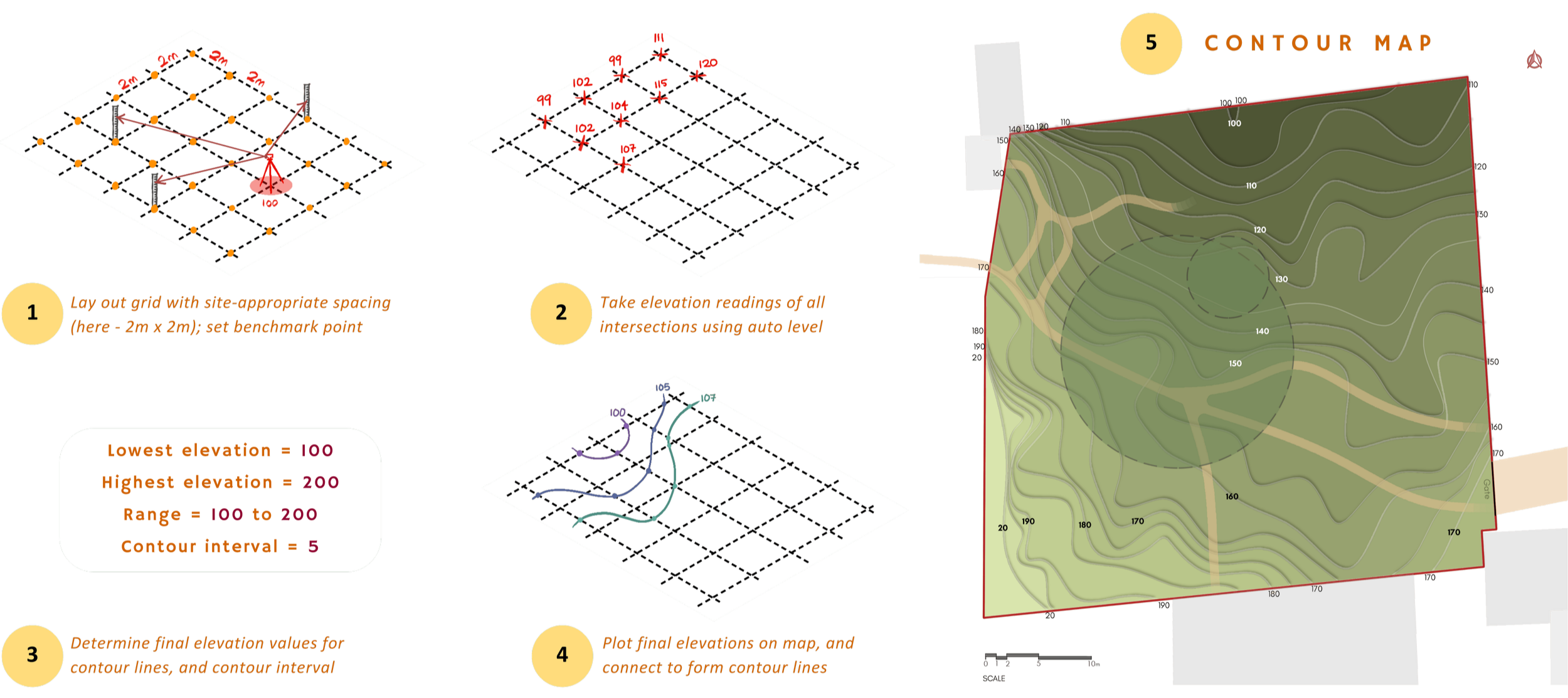
CONTOUR SURVEY
For this project, we conducted a contour survey independently, as there was no existing contour map. Using an auto level, the topography was carefully mapped, following the methodology outlined below. Despite the site’s scale, understanding minor elevation changes was crucial for design considerations, particularly managing stormwater.
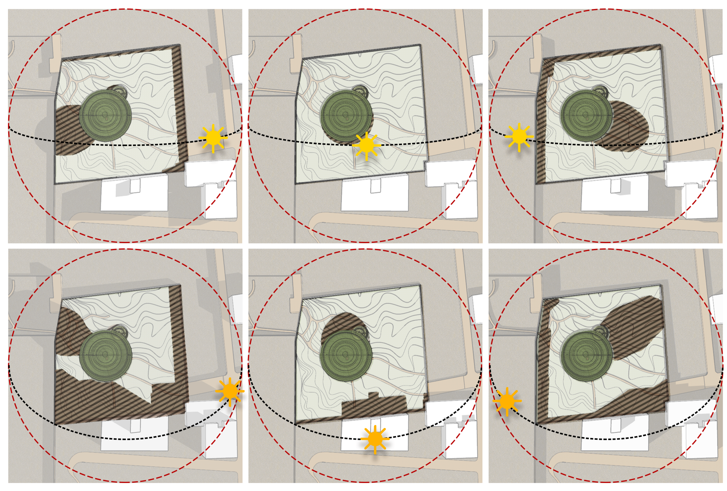
Top - June // Sunrise - Noon - Sunset
Bottom - December // Sunrise - Noon - Sunset
Semi-shade (2-4 hours sunlight)
Full sun (6-8 hours sunlight)
Partial sun (4-6 hours sunlight)
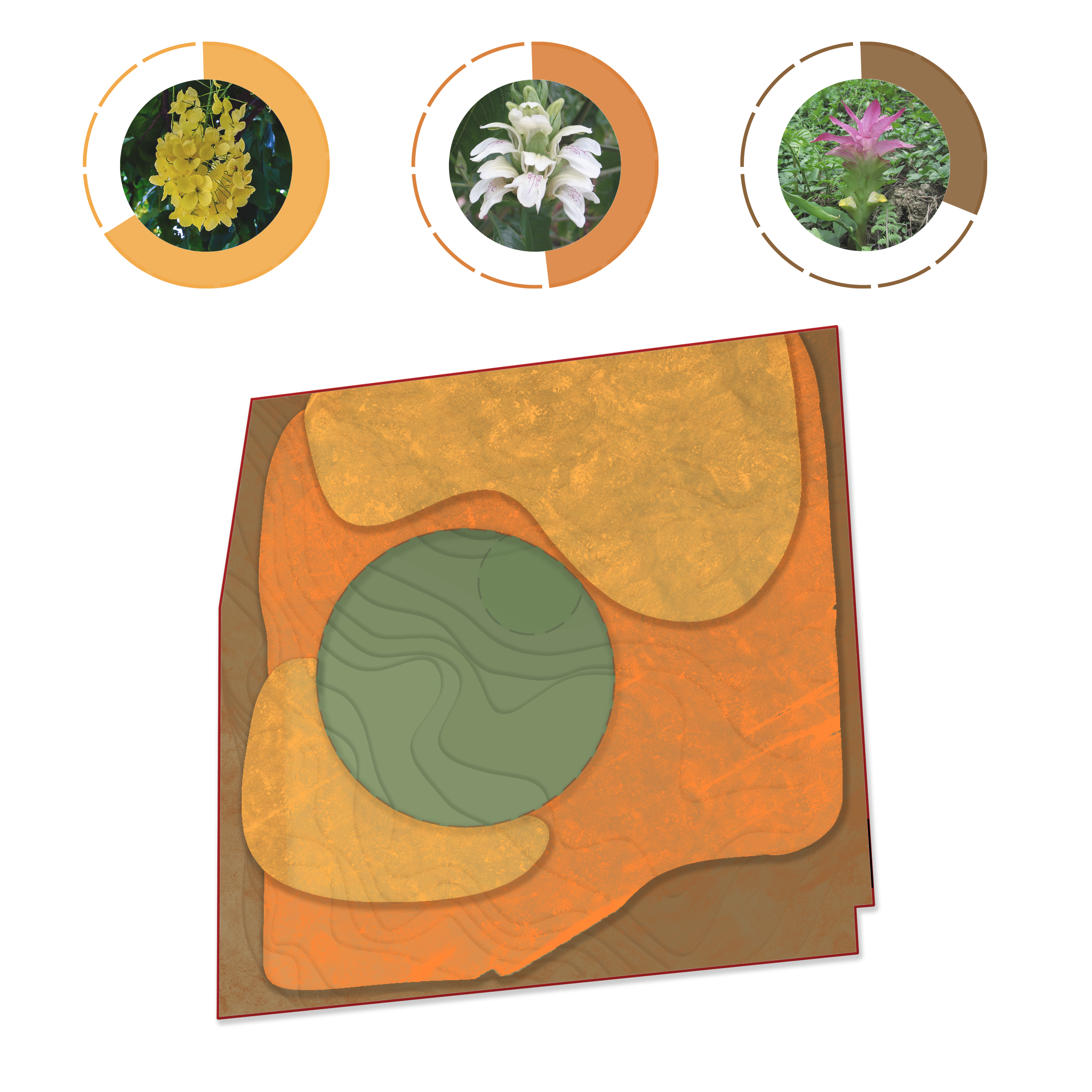
Shadow analysis
To analyse sunlight patterns, shadows from existing elements (trees, buildings, compound walls) were mapped to identify sunlight and shaded areas. This informed planting zones and species selection. Studying sun paths through the year and their seasonal variations ensured effective planting design and optimised site usability through the year.
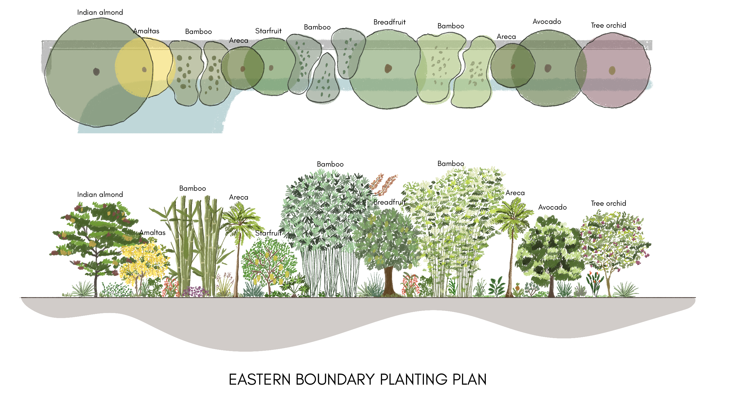
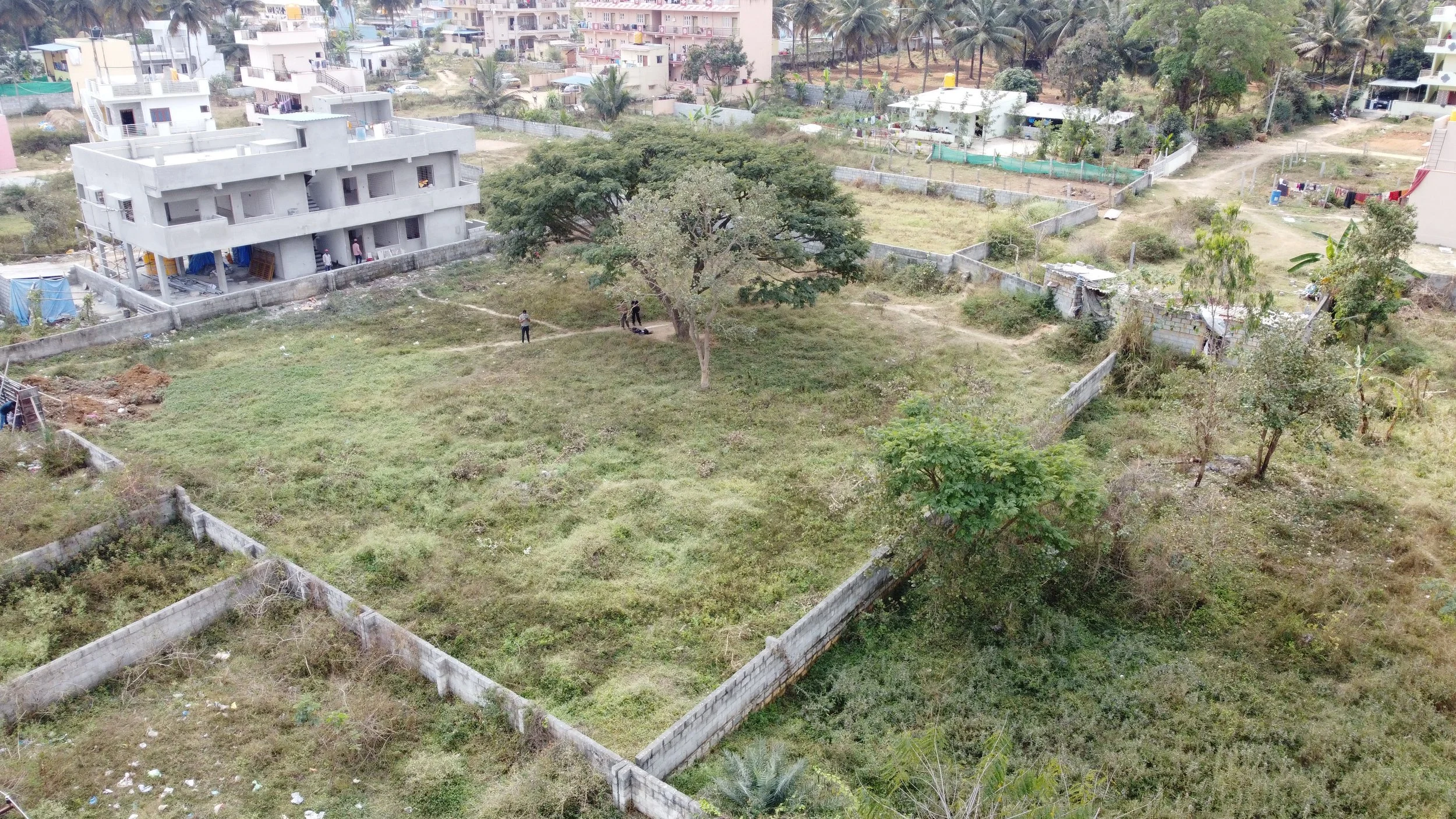
Aerial view of site [drone shot by Nikhil Rodrigues]
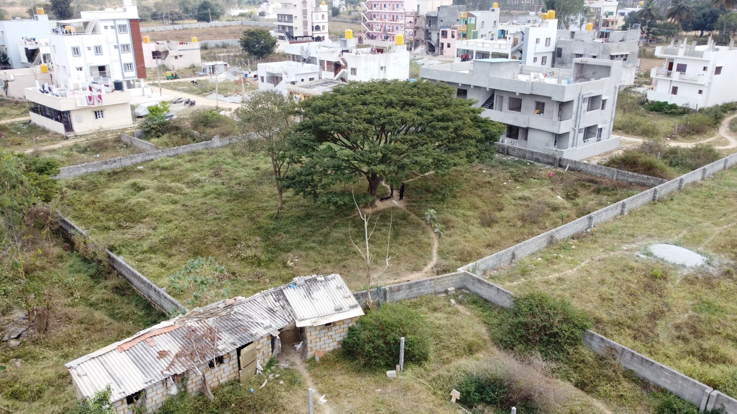
Aerial view of site [drone shot by Nikhil Rodrigues]
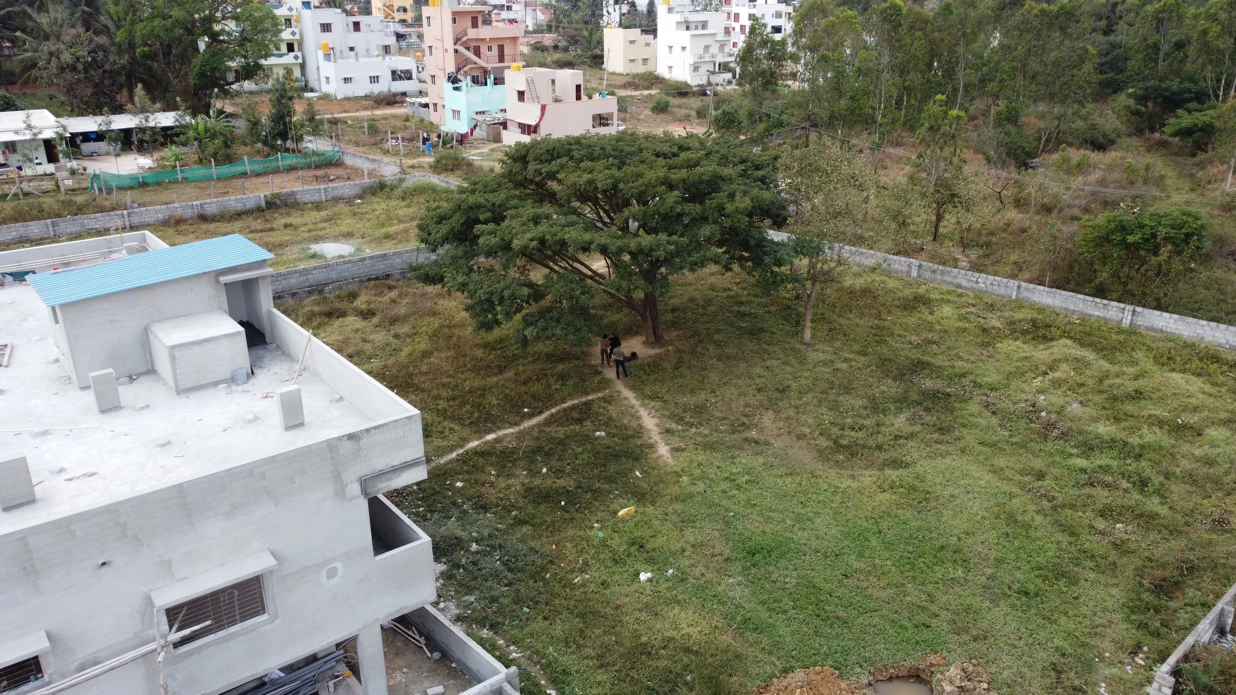
Aerial view of site [drone shot by Nikhil Rodrigues]
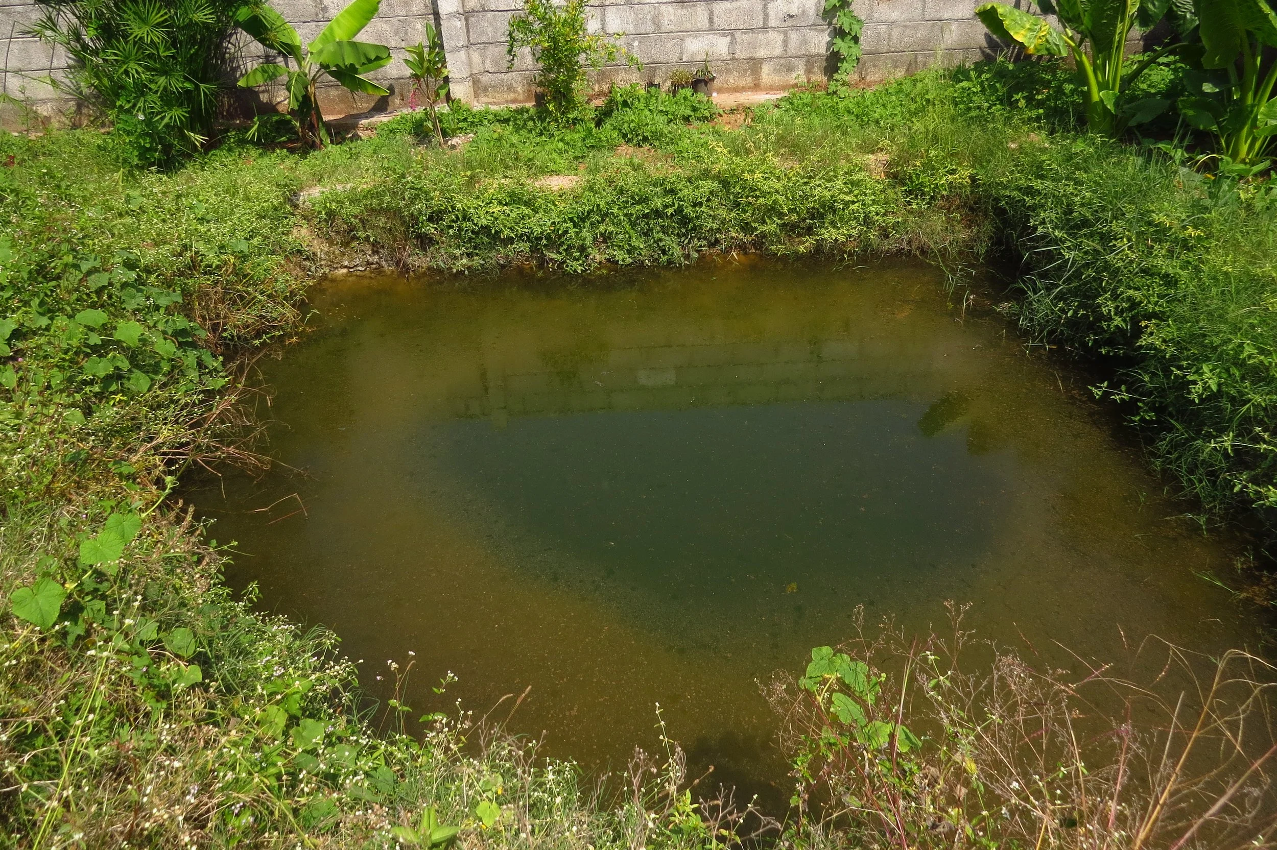
Pond - one rain post implementation
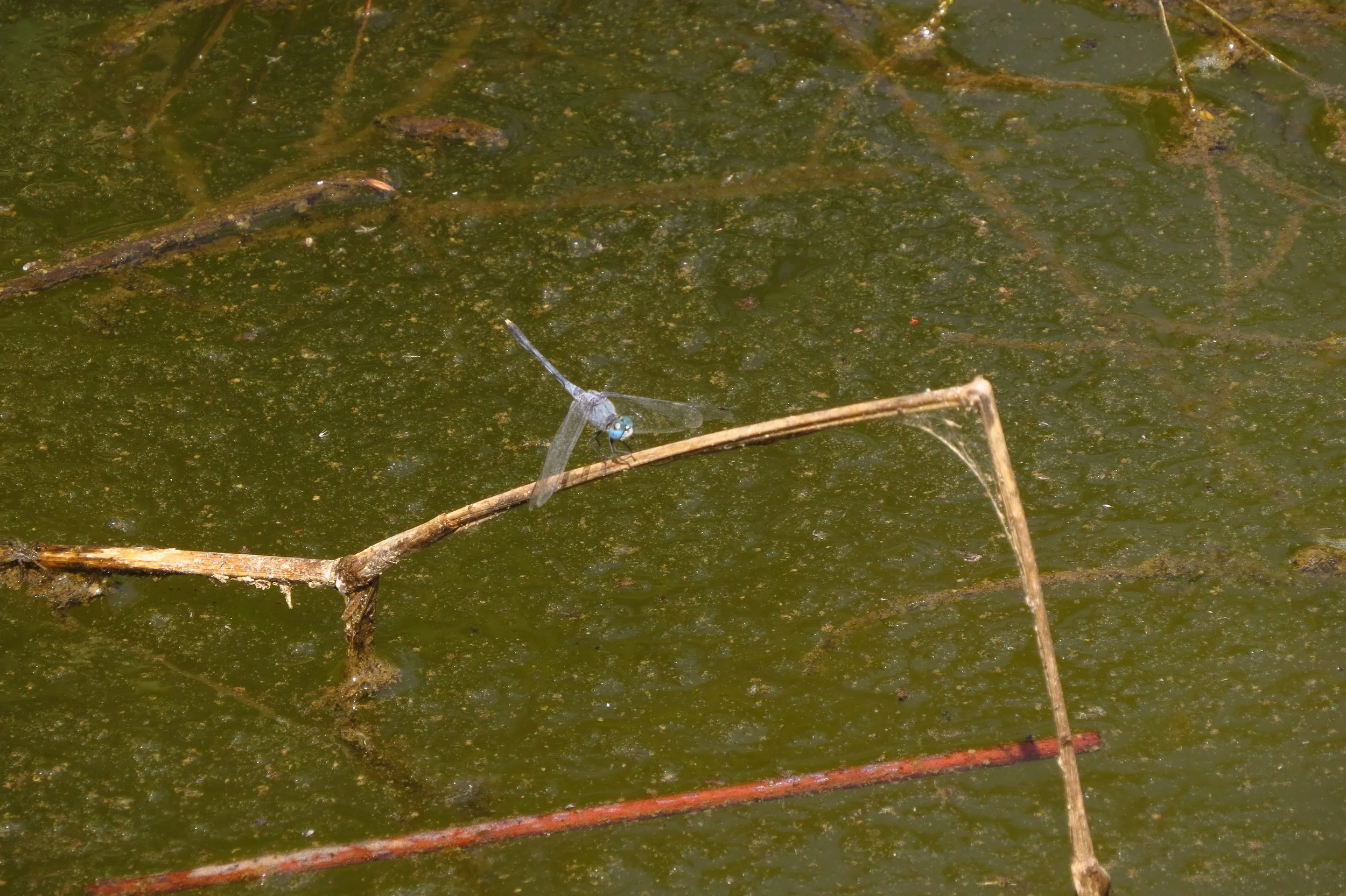
Chalky percher
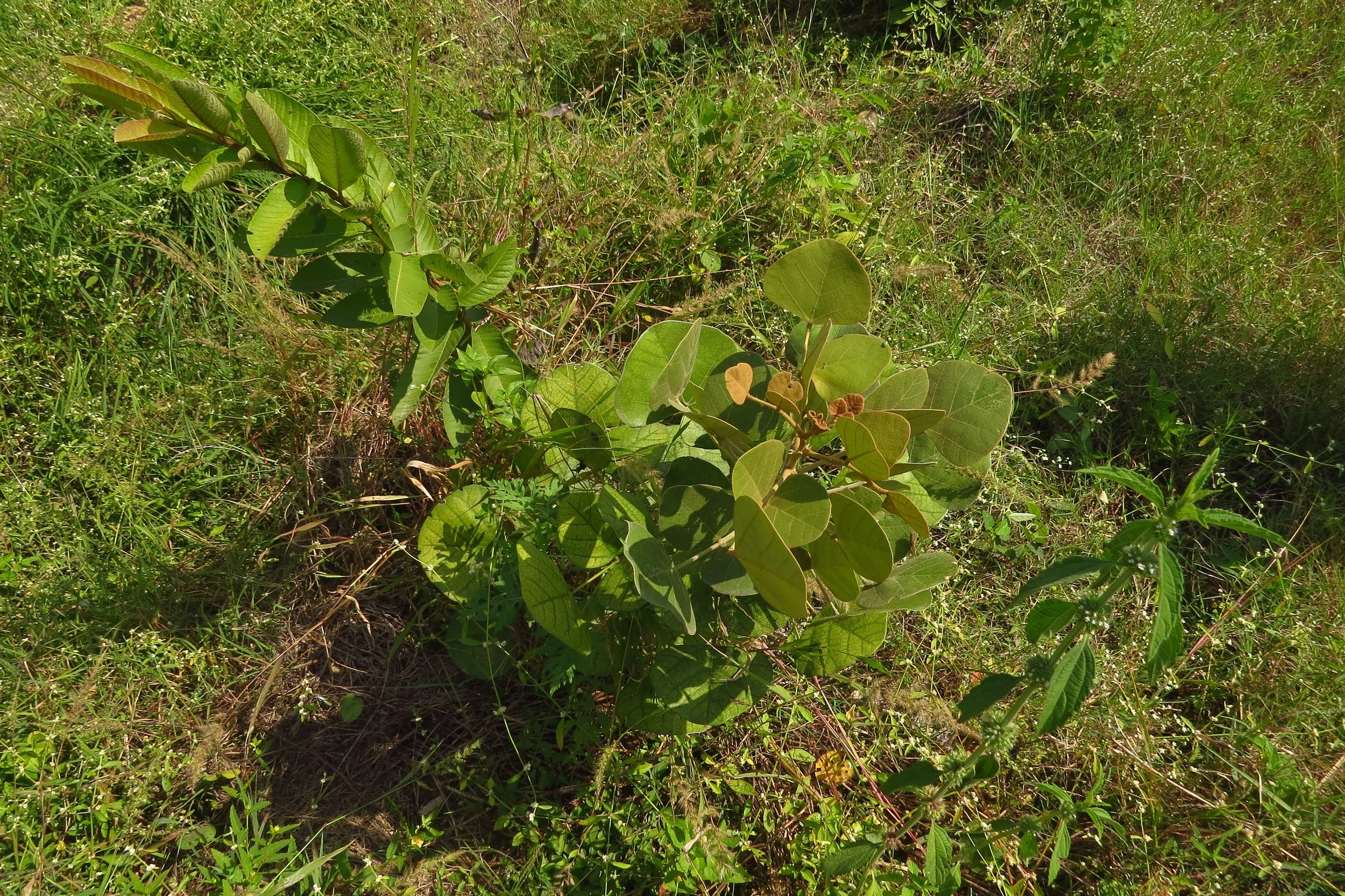
Volunteer native trees
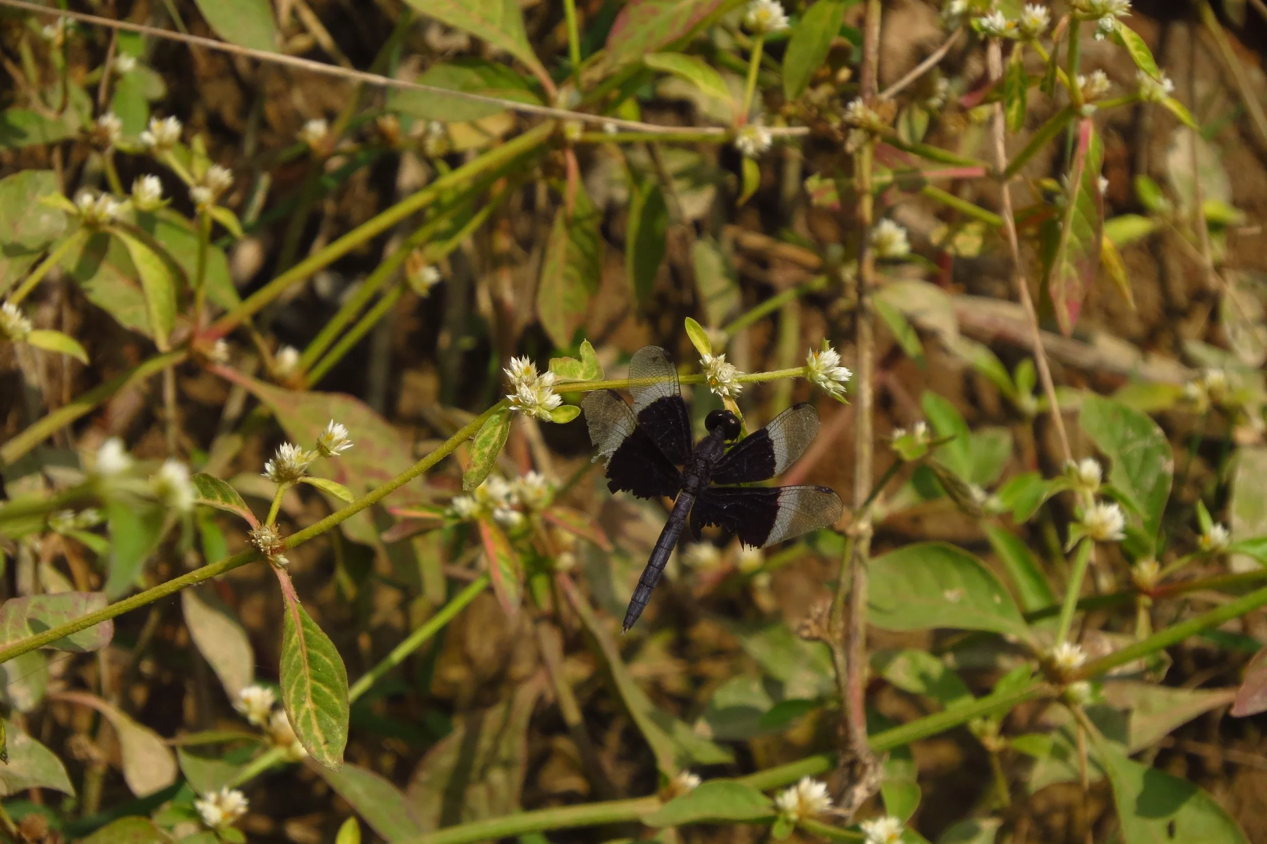
Black-winged dragonlet - appeared after pond was dug
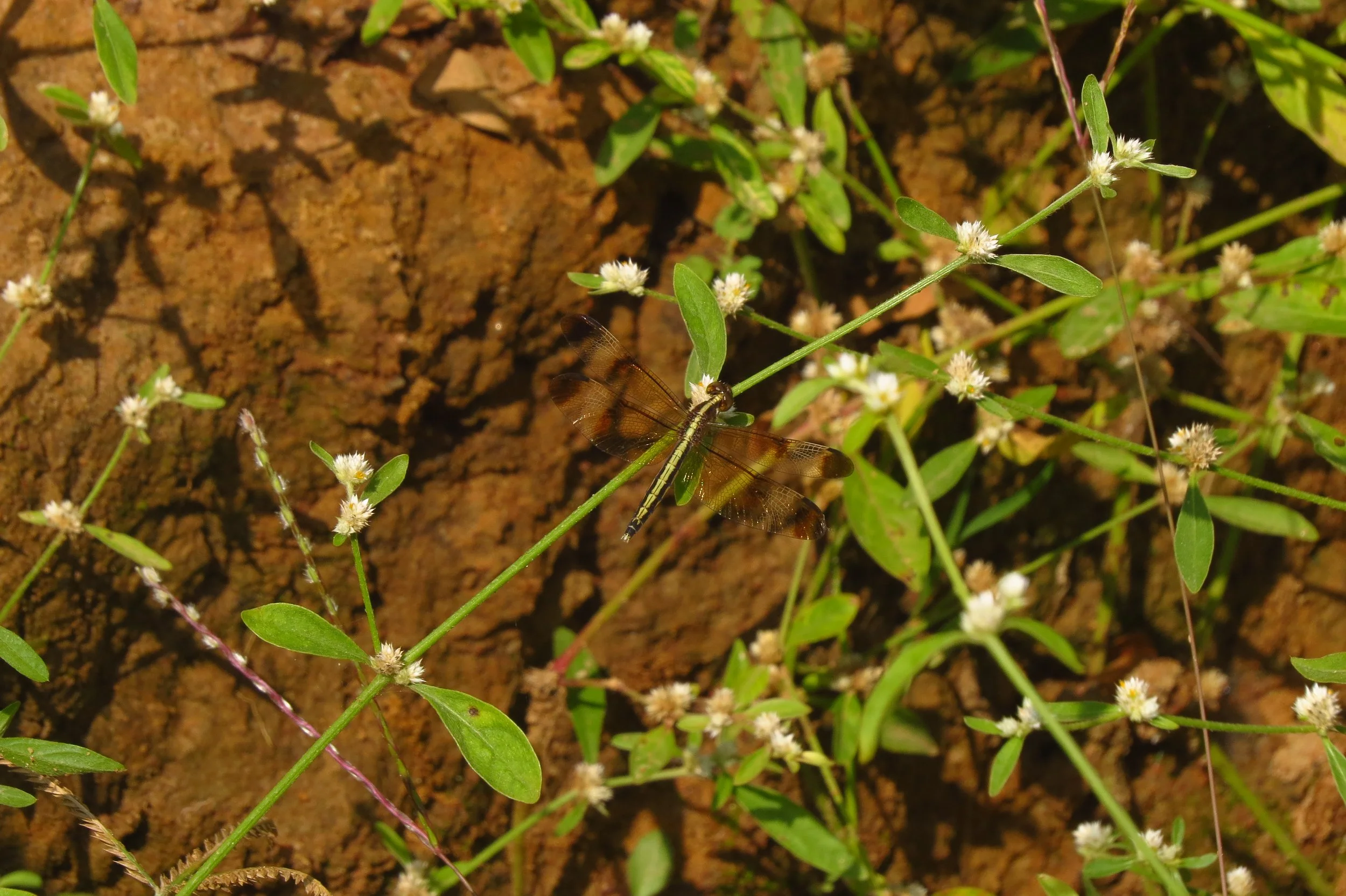
Dragonfly on pond edge
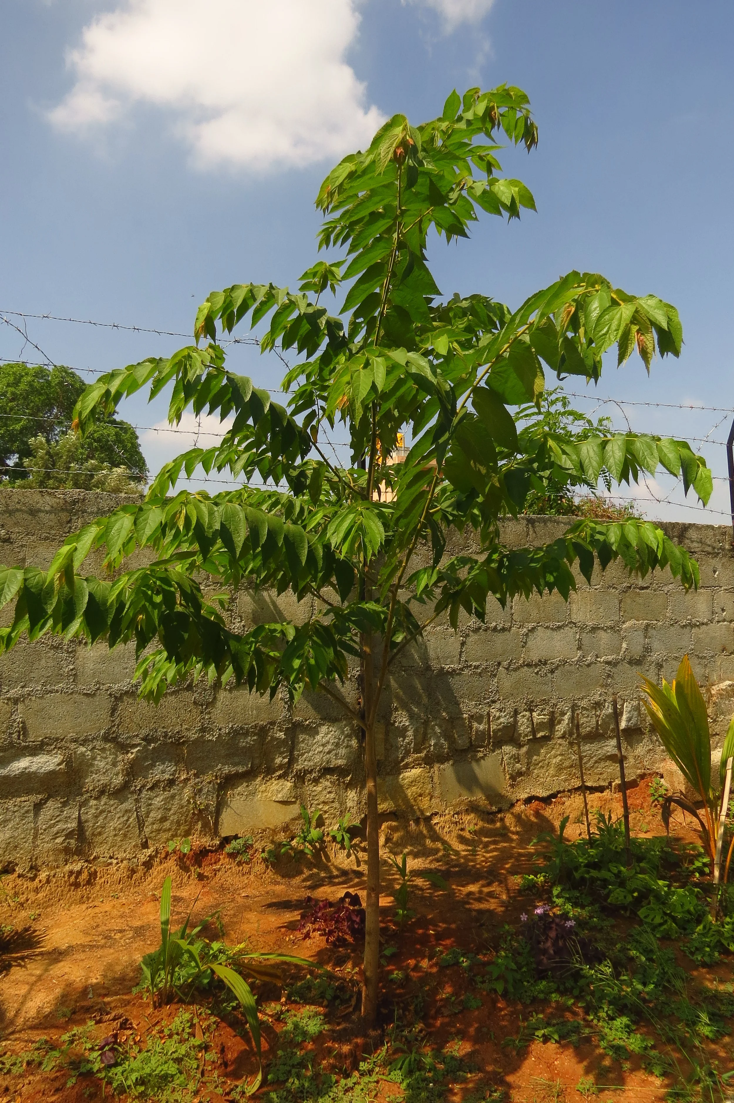
Living fence planting
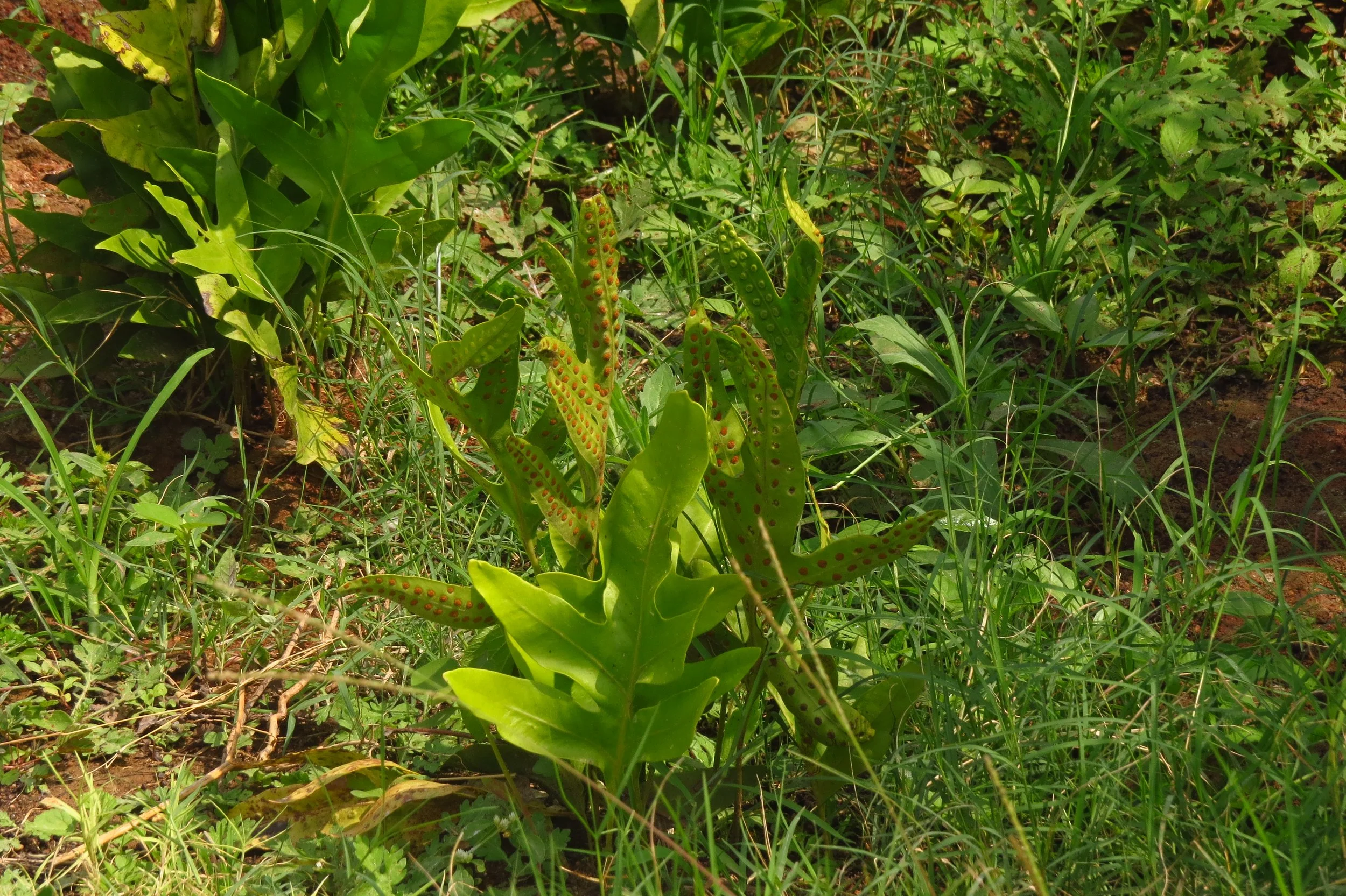
Volunteer ferns
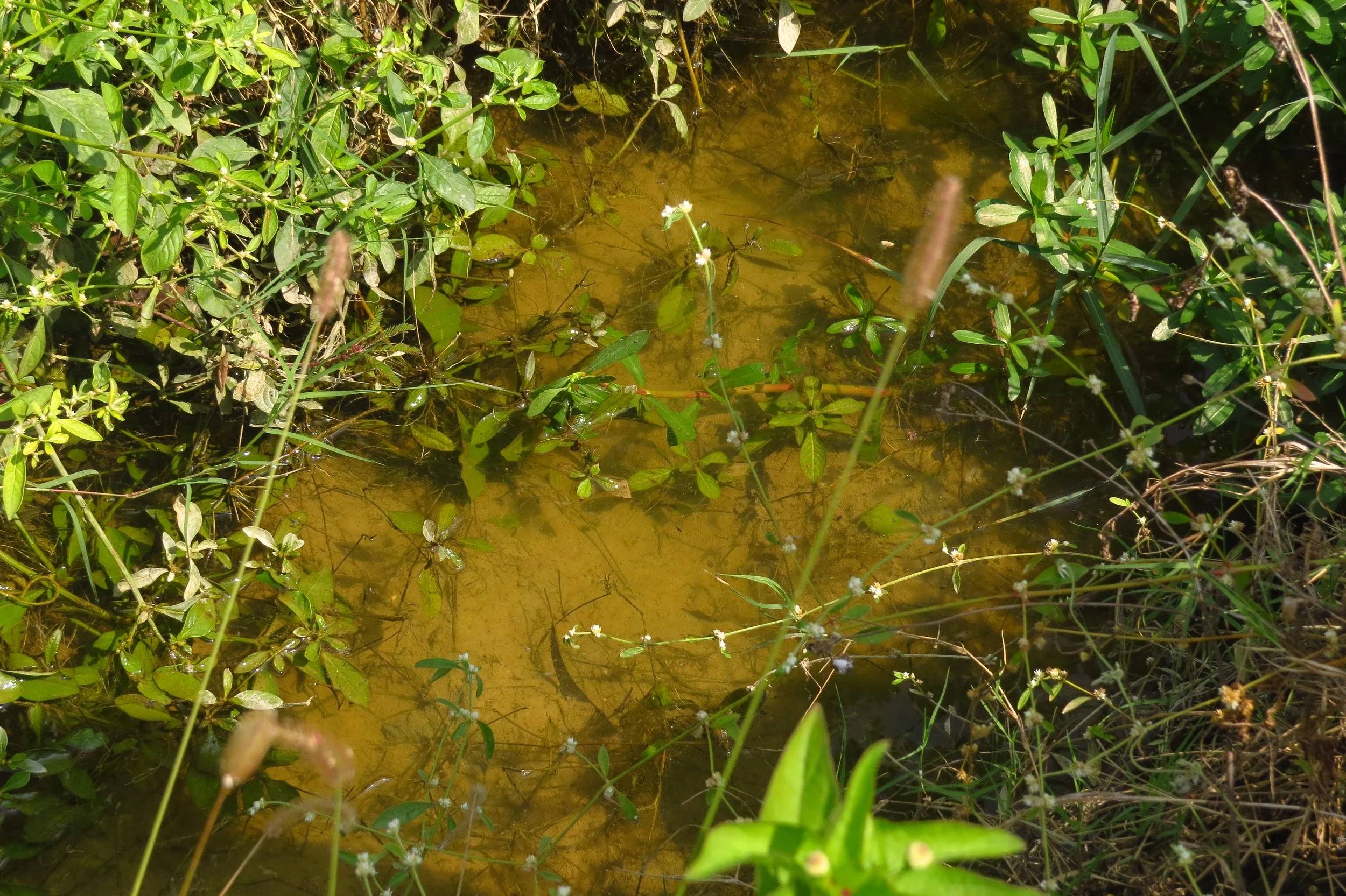
Trenches collecting runoff
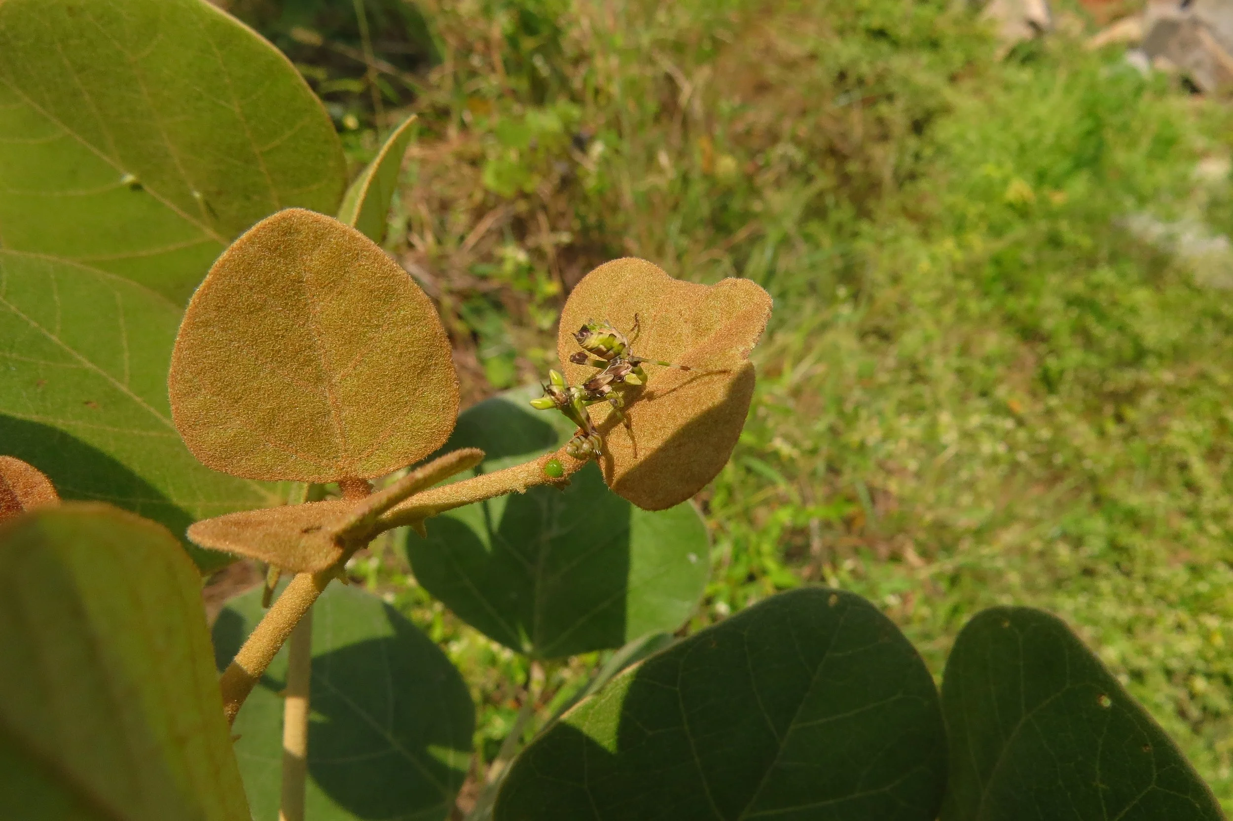
Flower mantis
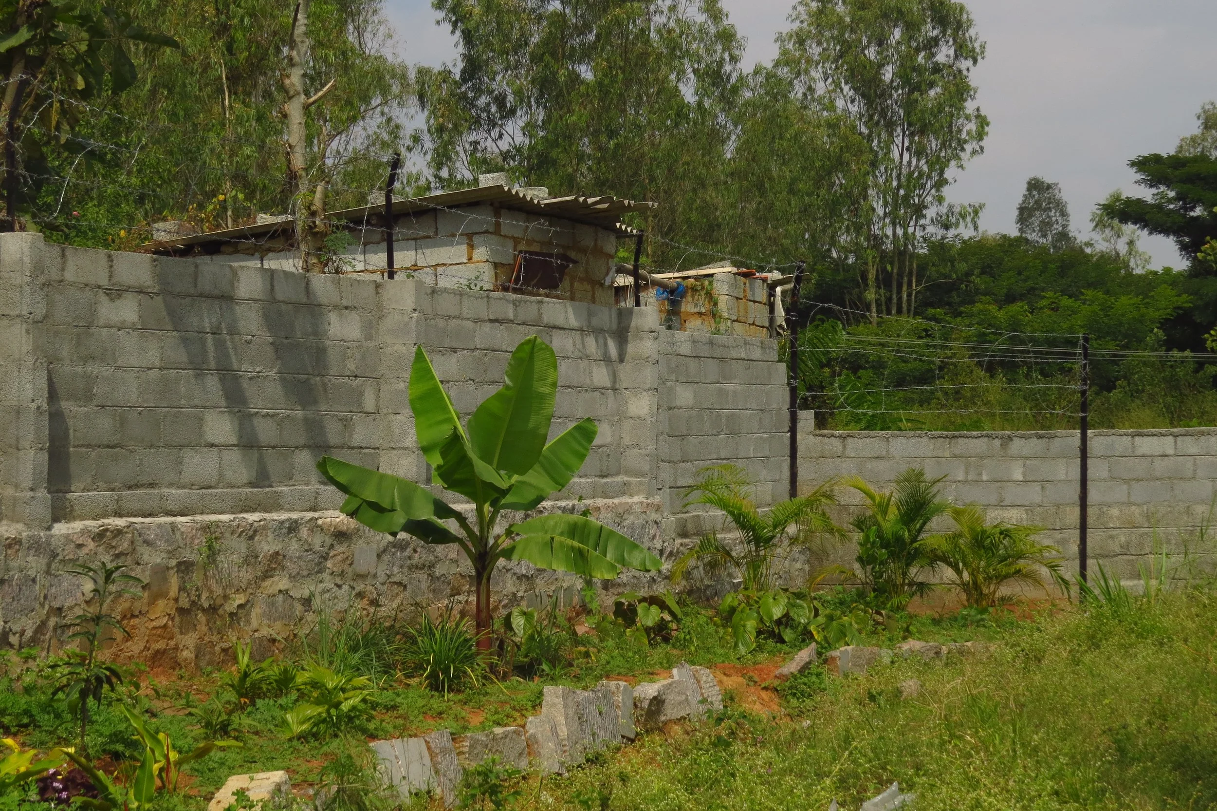
Living fence and biomass planting
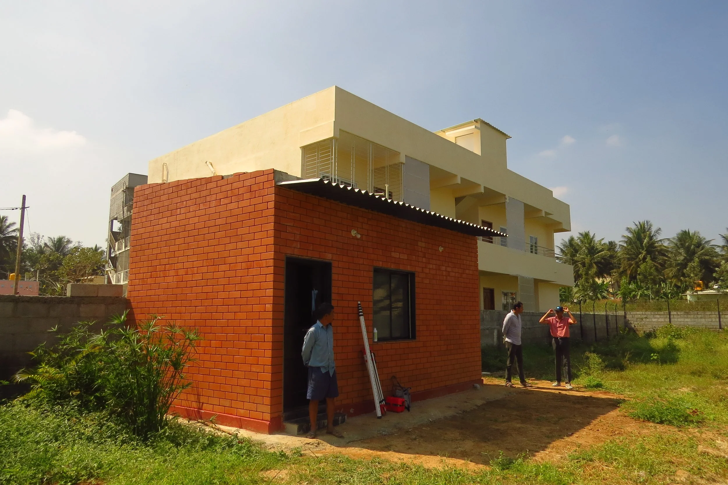
Staff quarters
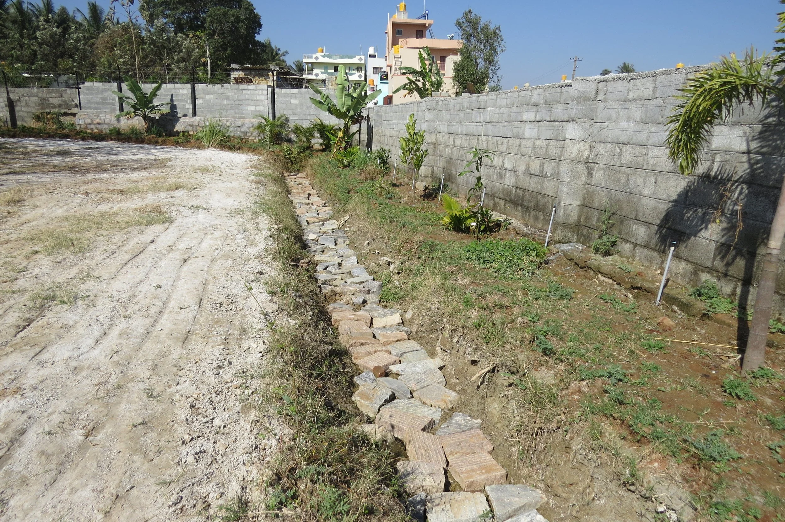
Northern trench lined with rock
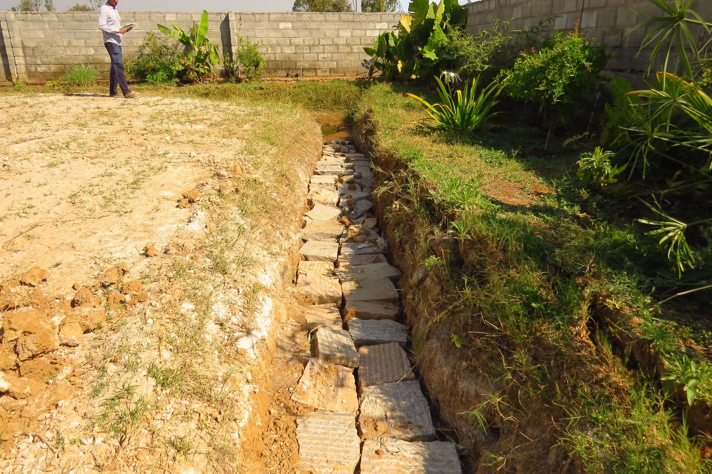
Eastern trench lined with rock

Western trench lined with rock