Kollegal Farm
Recommendations for earthworks
March 2024 - June 2024
with Ananas Design
Role: Project lead
Collaborators: Jananee Mohan, Gautam Shanbhag, Himanshu Arteev
Buffer zone of the Cauvery North Wildlife Sanctuary, near MM Hills; Kollegala, Karnataka, IN
63.84 acres | 705-735m ASL
Tropical savanna climate
1100 mm annual rainfall | Sandy loam
South Deccan Plateau Dry Deciduous Forest / Savanna
Earthworks recommendations
This 70 acre parcel, jointly owned by the client and their family, was envisioned as an agroforestry farm. The site lay the edge of a forest reserve, and was characterised by a striking savanna-like landscape, with open grasslands punctuated by a few scattered native trees. A seasonal stream ran along along the boundary to the west.
The land was studied over two site visits, leading to a zoning plan and earthworks recommendations. One of the key strategies was to designate the south-western section of the land as a wild zone / riparian zone, to protect the existing seasonal streams. Earthworks like basins, ponds, berms and swales were suggested to slow runoff, mitigate erosion and recharge groundwater. These interventions were supported by a thorough analysis of the water flows in and around the land.
We also emphasised the importance of retaining wild flora and fauna, successfully persuading the client to conserve the wild zone despite initial hesitation. The site had been fenced with razor-blade fencing, and was managed with a “no-wildlife” mindset, which we helped transform through sustained dialogue and a zoning that accommodated both human and non-human stakeholders.
Farm elements such as staff quarters, nursery, apiculture zone, produce processing and storage units, were placed in Zone 0 and 1. Planted areas requiring higher maintenance and care were placed in Zone 2, and food forests with high-maintenance species in Zone 3. Zone 4 included native food forests and timber zones. It was recommended that Zone 5 should be left undisturbed (other than earthworks) to allow for natural regeneration and volunteer species, since the land was quite degraded. Private spaces, like the owners’ cottages and kitchen gardens, along with hosting spaces, like guest stays and leisure areas, were zoned in the northern parcel of land for better access.
As part of this engagement, we also demonstrated the design and on-ground marking for a basin, to help the client continue implementing the proposed interventions independently.
Earthworks recommendations and interventions were supported by a thorough analysis of the water flows in and around the land.
Study maps - slope analysis, catchment volumes and groundwater zones
Networks and linkages (input-output analysis) of the elements, followed by zoning for placement of the elements
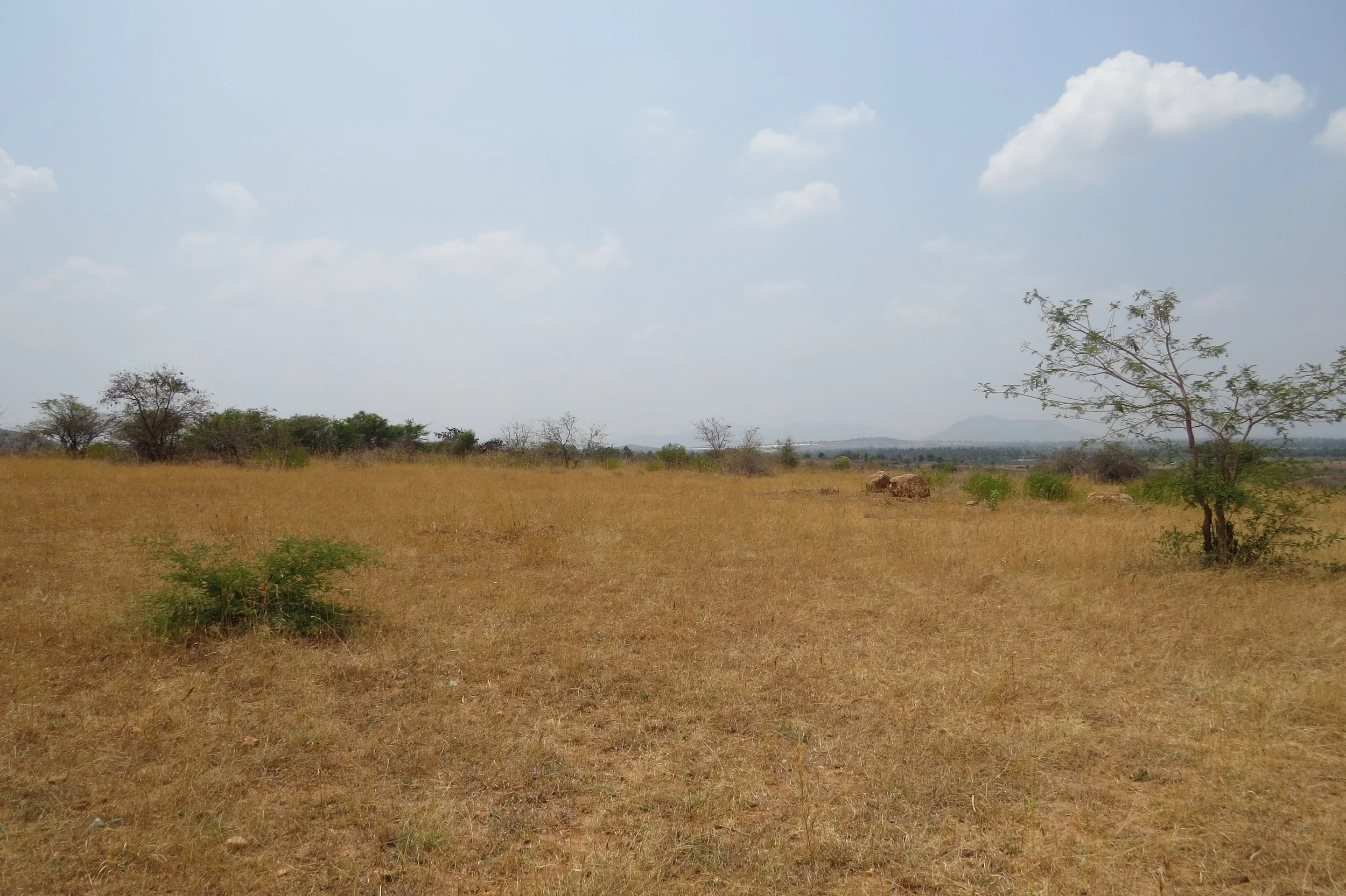
View of land - savanna
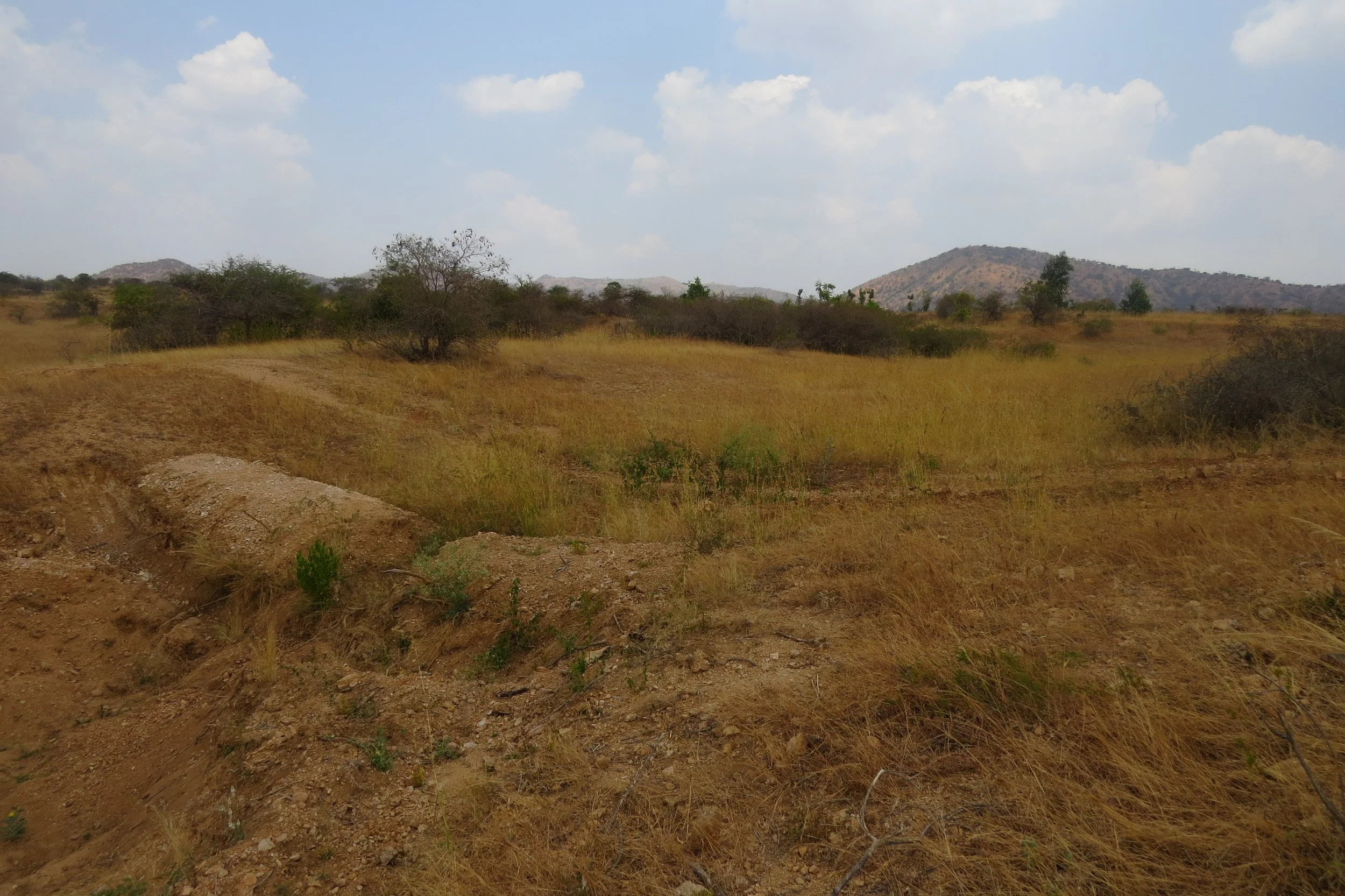
Gentle valleys
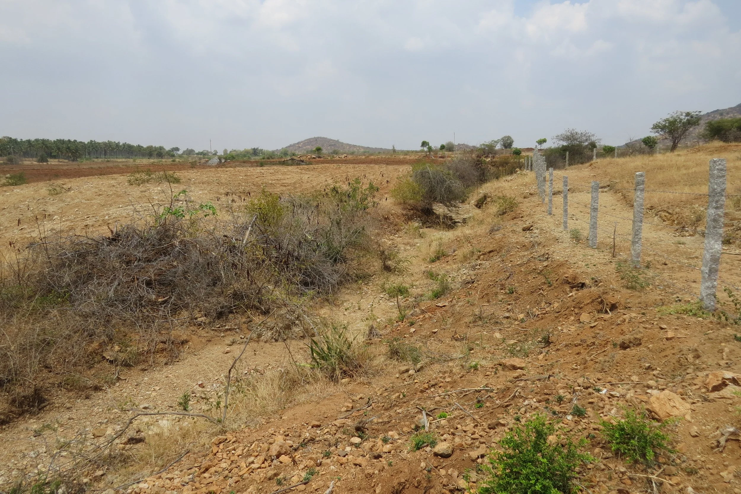
Stream abutting the land
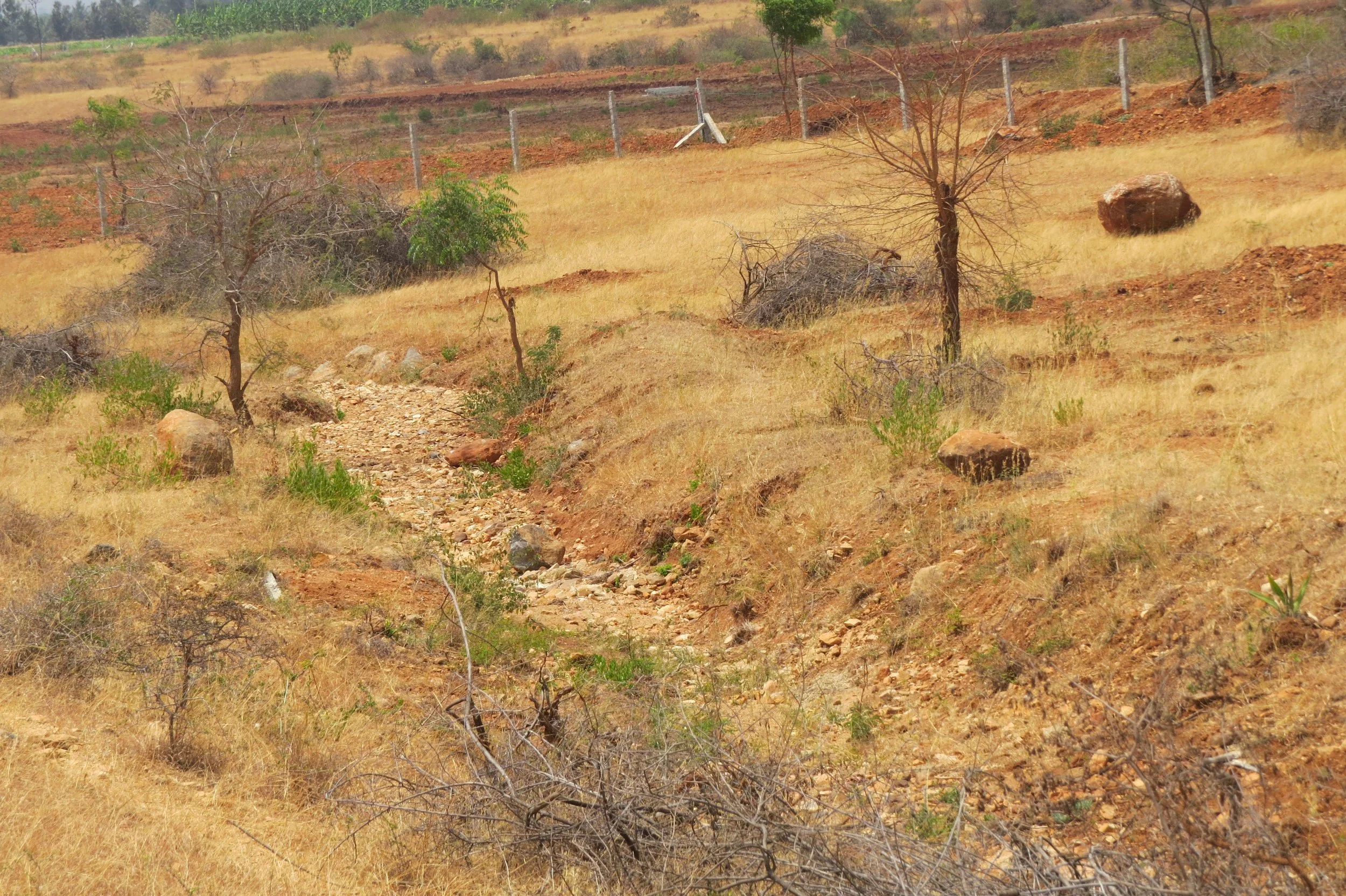
Stream abutting the land
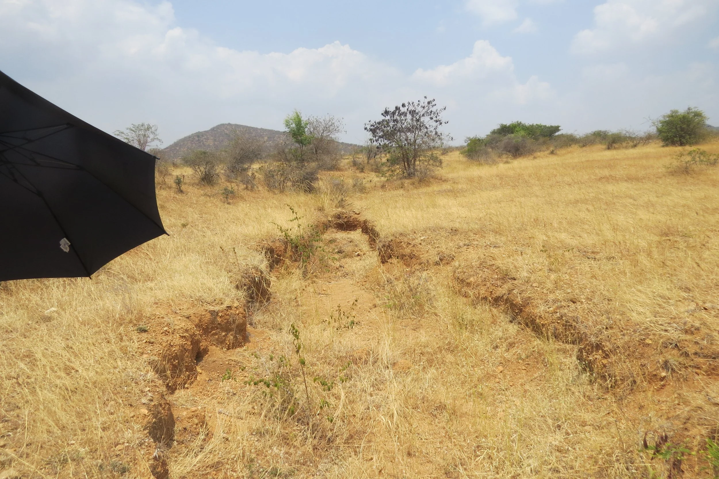
Seasonal streams
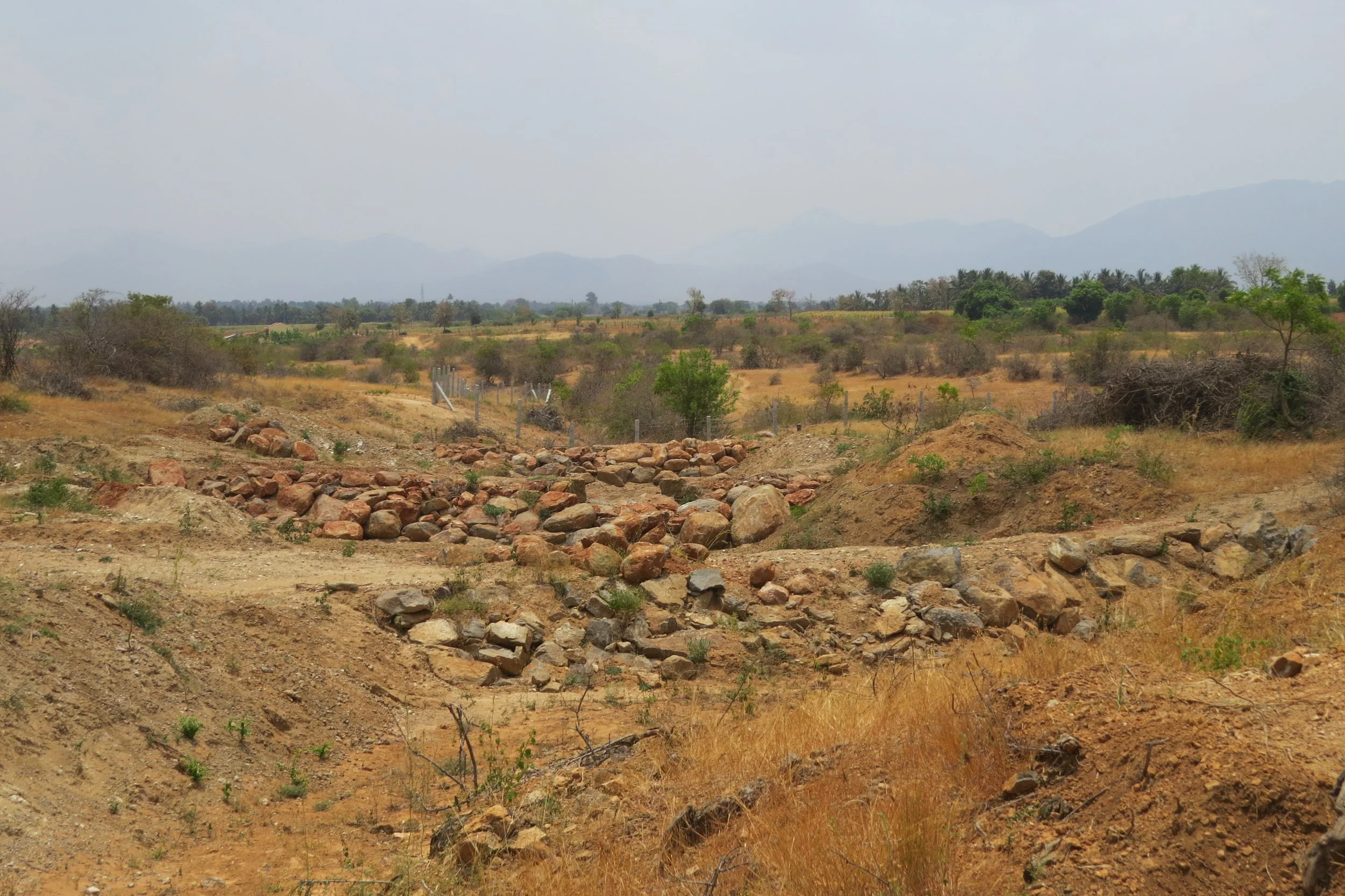
Existing gully plugs implemented by the client
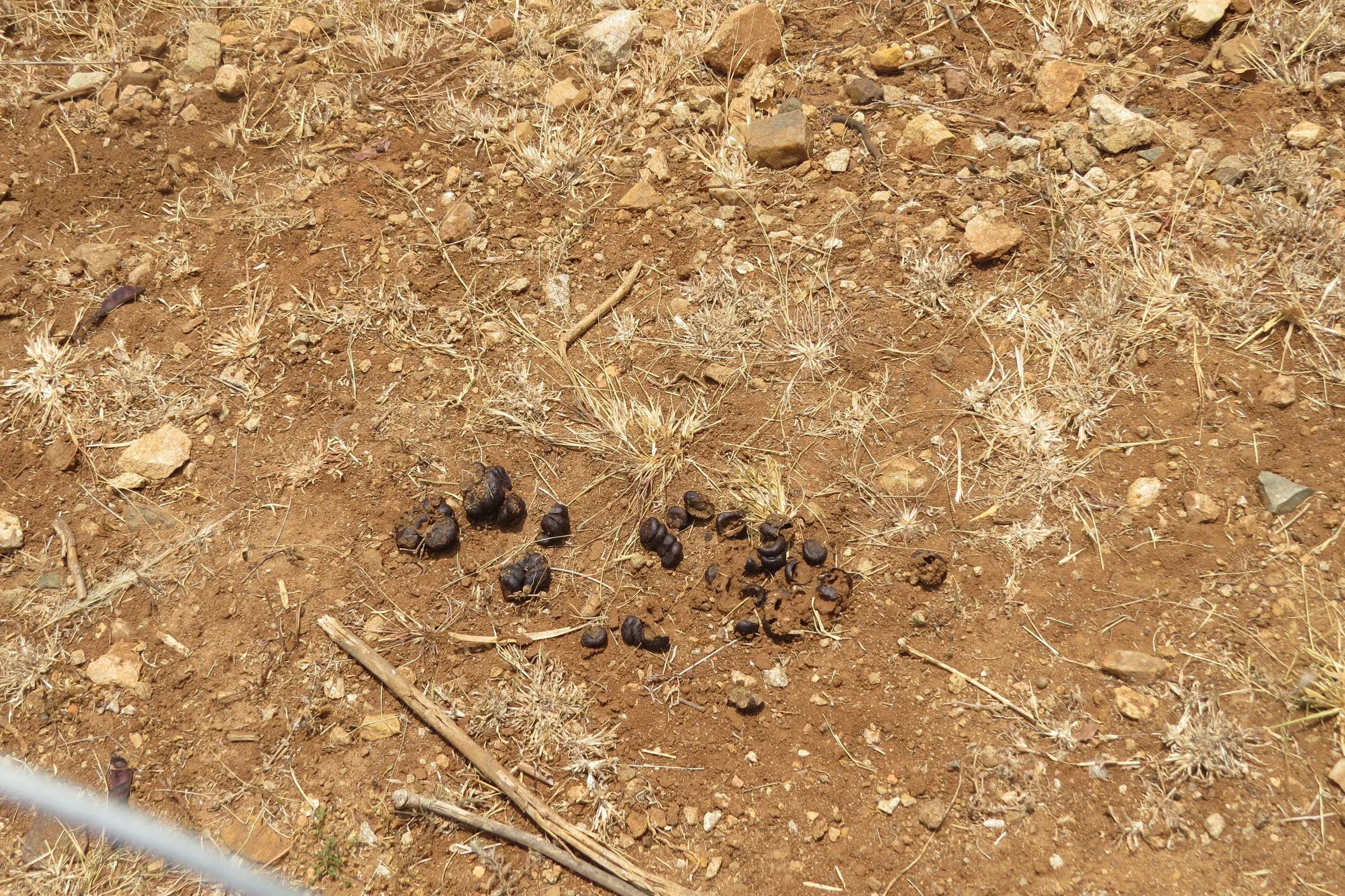
Deer droppings
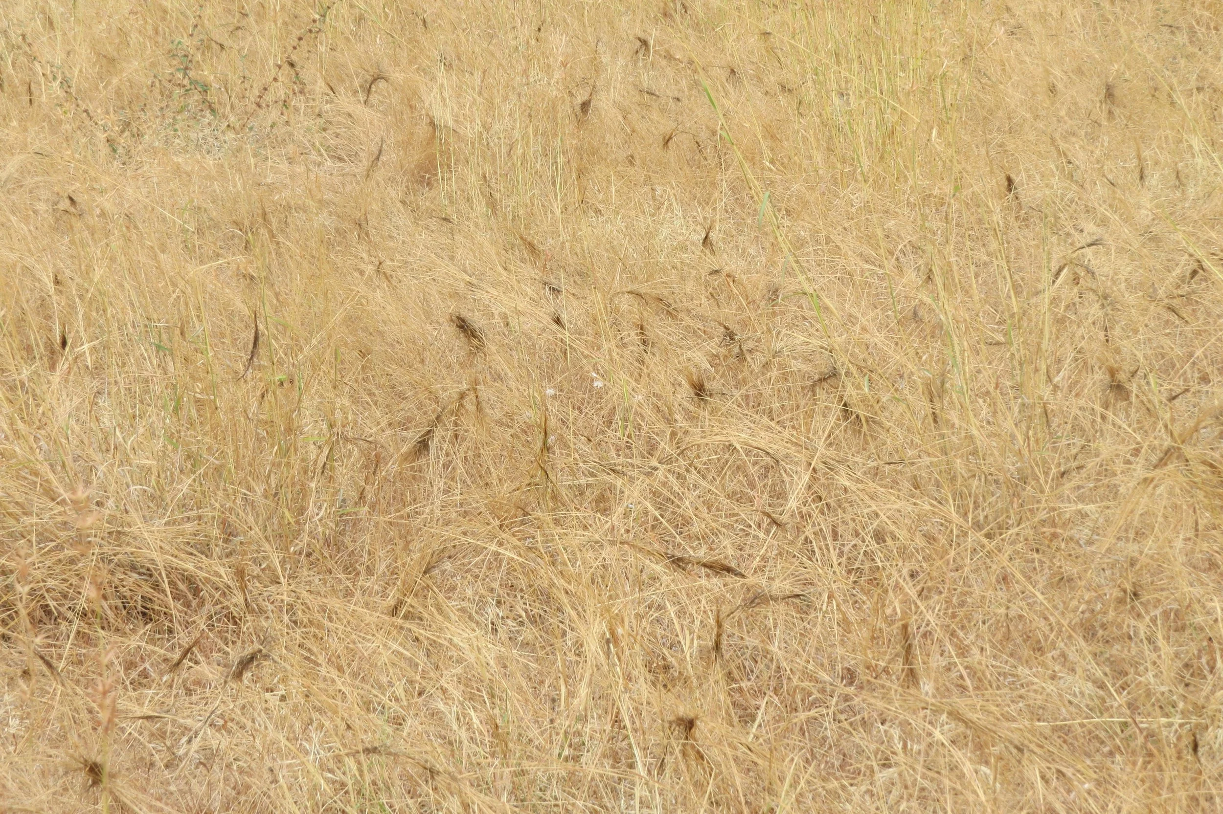
Heteropogon contortus forming knots

Stick insect
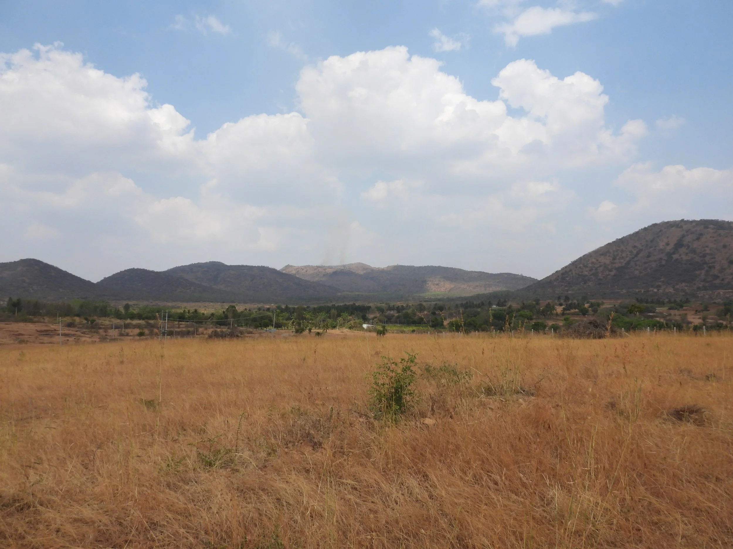
View of site [photo by Jananee Mohan]