Mianpur Farm
Ecological landscape design
May - July 2025
with Ananas Design
Role: Project co-lead and primary designer
Collaborators: Varun Behroonani (co-lead), Theertha Ravindran
Shivalik foothills near Chandigarh, IN
3.5 acres | 375m ASL
Temperate climate with dry winters and hot summers
1322 mm annual rainfall | Clay, silt, loam
Khair-sissoo forests
Masterplan and design strategies
The farm’s design balanced food production with ecological restoration. Native species, soil conditions and water flows guided zoning. Gently sloped and flat areas housed growing areas and buildings, while grasses and earthworks stabilised slopes.
The sediment-carrying stream passing through the site was treated as an opportunity, with silt-bag check dams placed at strategic locations to slow water, trap silt and aid recharge.
A clayey zone with native Dalbergia sissoo trees was redesigned as a food forest, with recommendations to prune existing Dalbergias into a canopy, thus preserving them as a long-term timber source while diversifying with fruit trees. An interconnected trench system was suggested for irrigation to avoid flooding near the roots.
A syntropic agroforestry zone was designed as the main tree-based food production zone, for maximising efficient use of space. Native food forest guilds were placed around the periphery, along with passive irrigation structures like boomerang bunds.
The home was split into two levels, with the upper level serving as the entry and living spaces, and the lower level as bedrooms and more private spaces. The lower level was stacked with a retaining wall, to stabilise the steep slope.
A steep precipice on the western section of the site was redesigned as a stepped drop, with native grasses (Kans) and native Acacias and Albizias to hold soil. The vegetable garden in this area was designed as sunken beds, thus reducing the need for irrigation. This was also done to mitigate veggie bed material losses in case of heavy rains and slope destabilisation. In other areas, raised beds were recommended for vegetables, considering the soil type and conditions, to aid in soil building. Native pollinator gardens were decentralised, to support both native zones and food production areas.
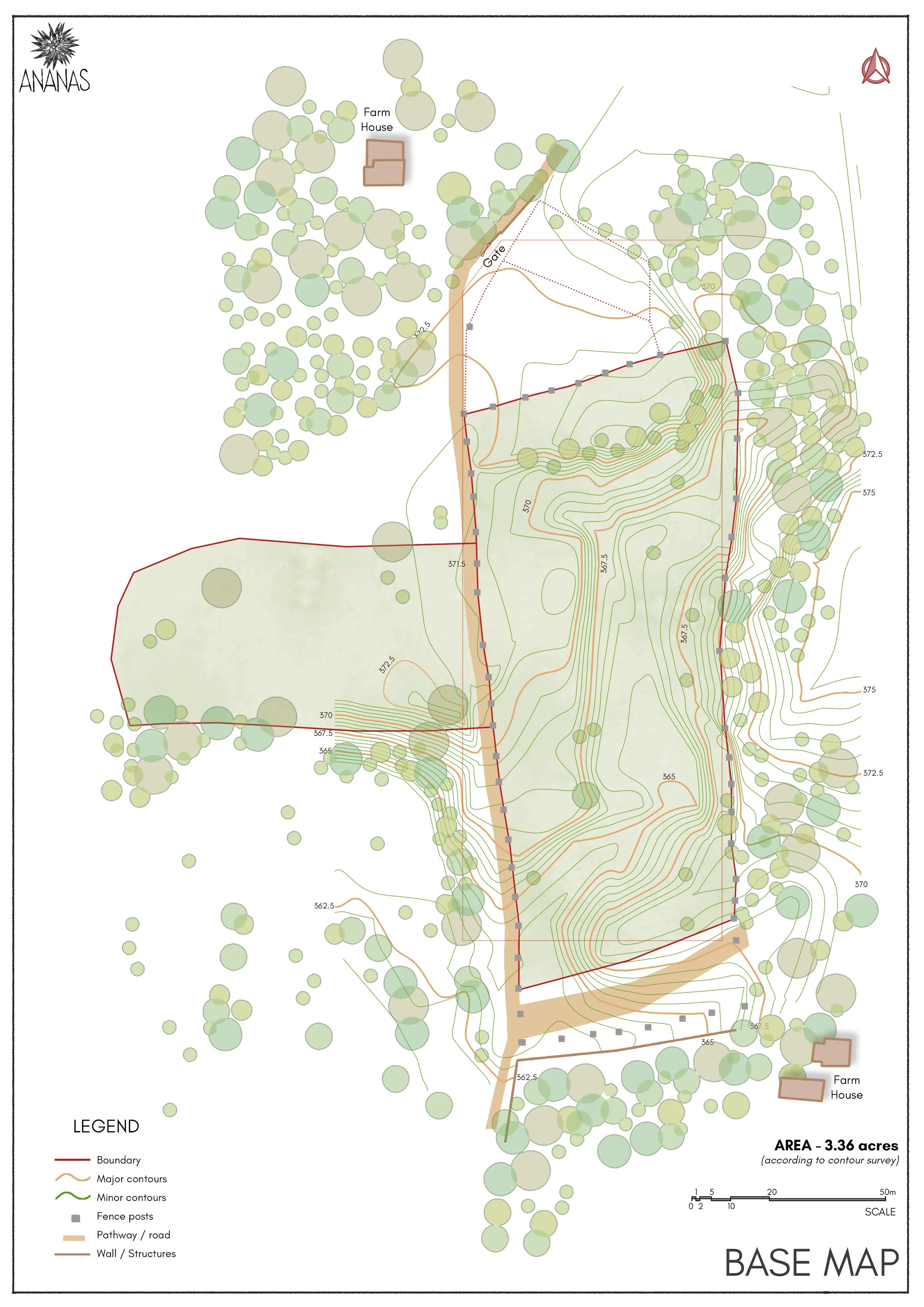
Base Map
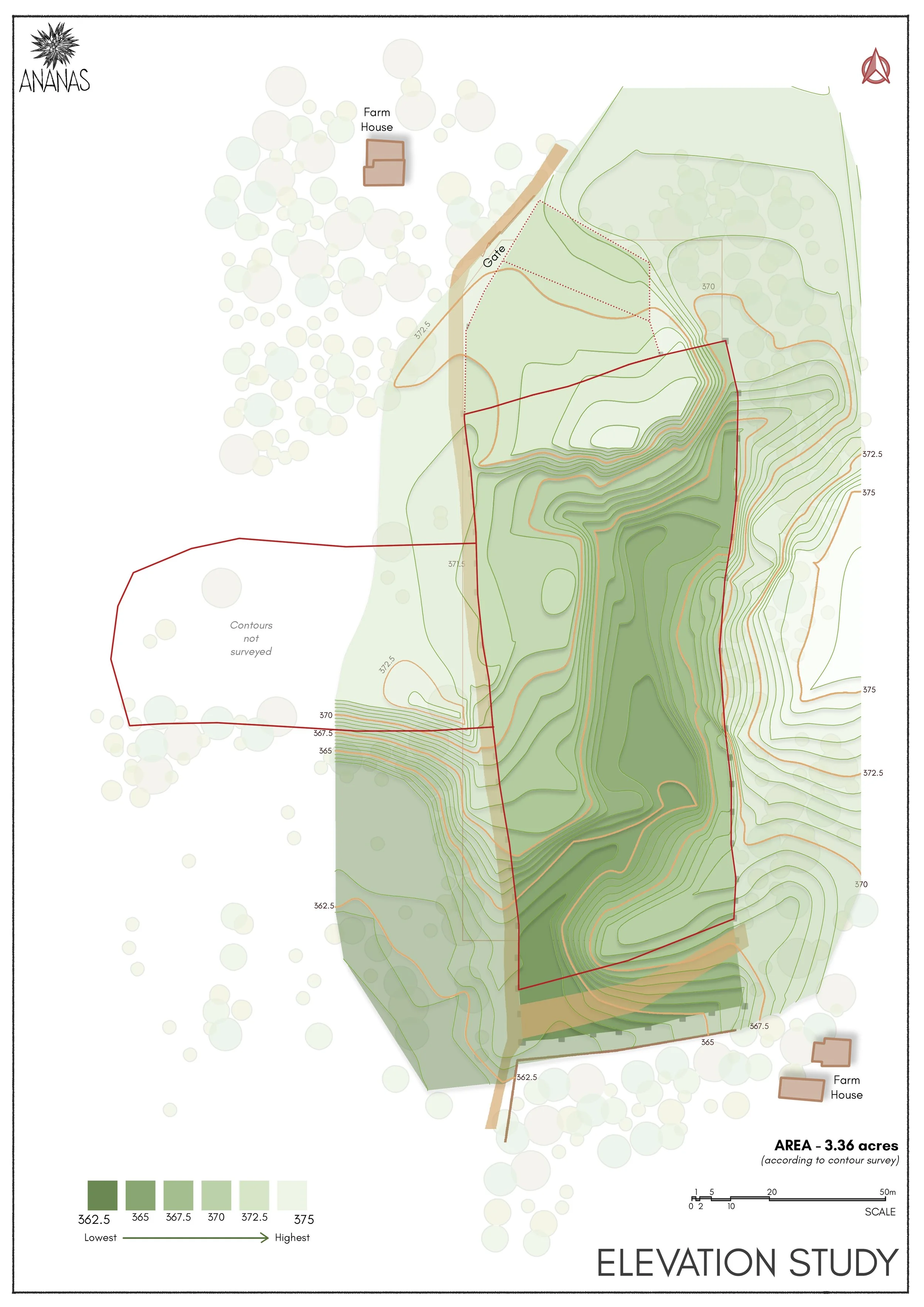
Elevation Study
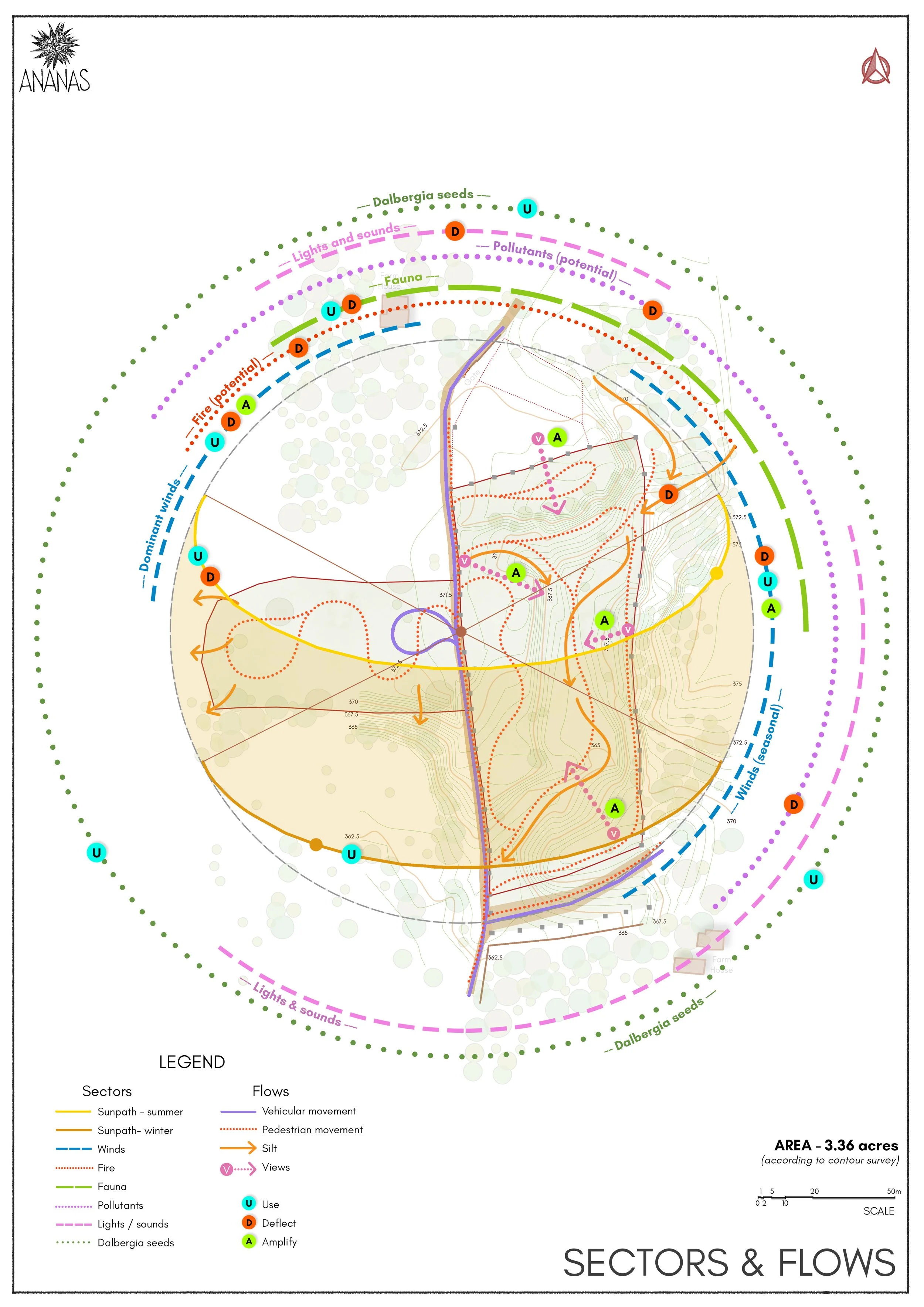
External and internal influences
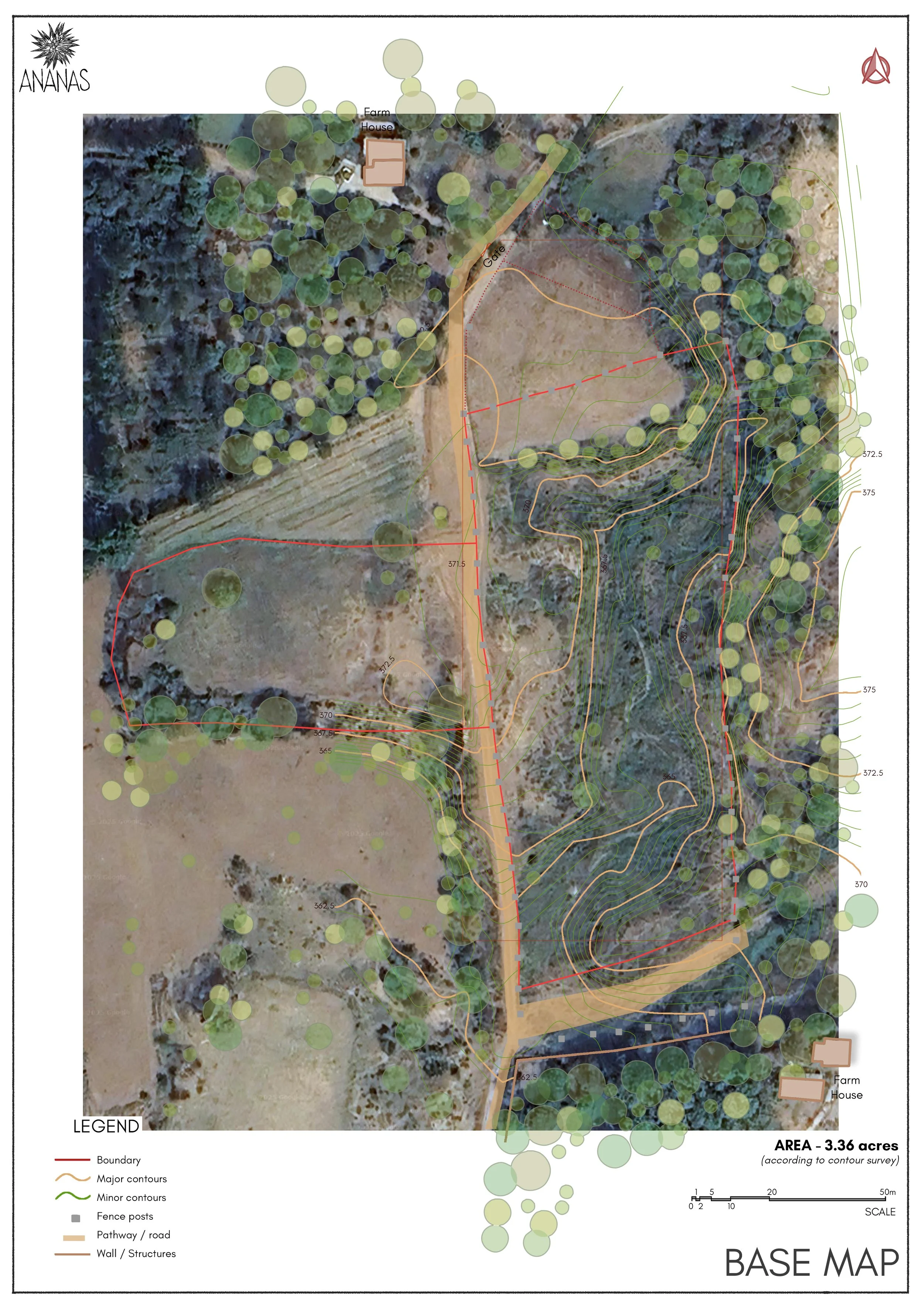
Satellite Map
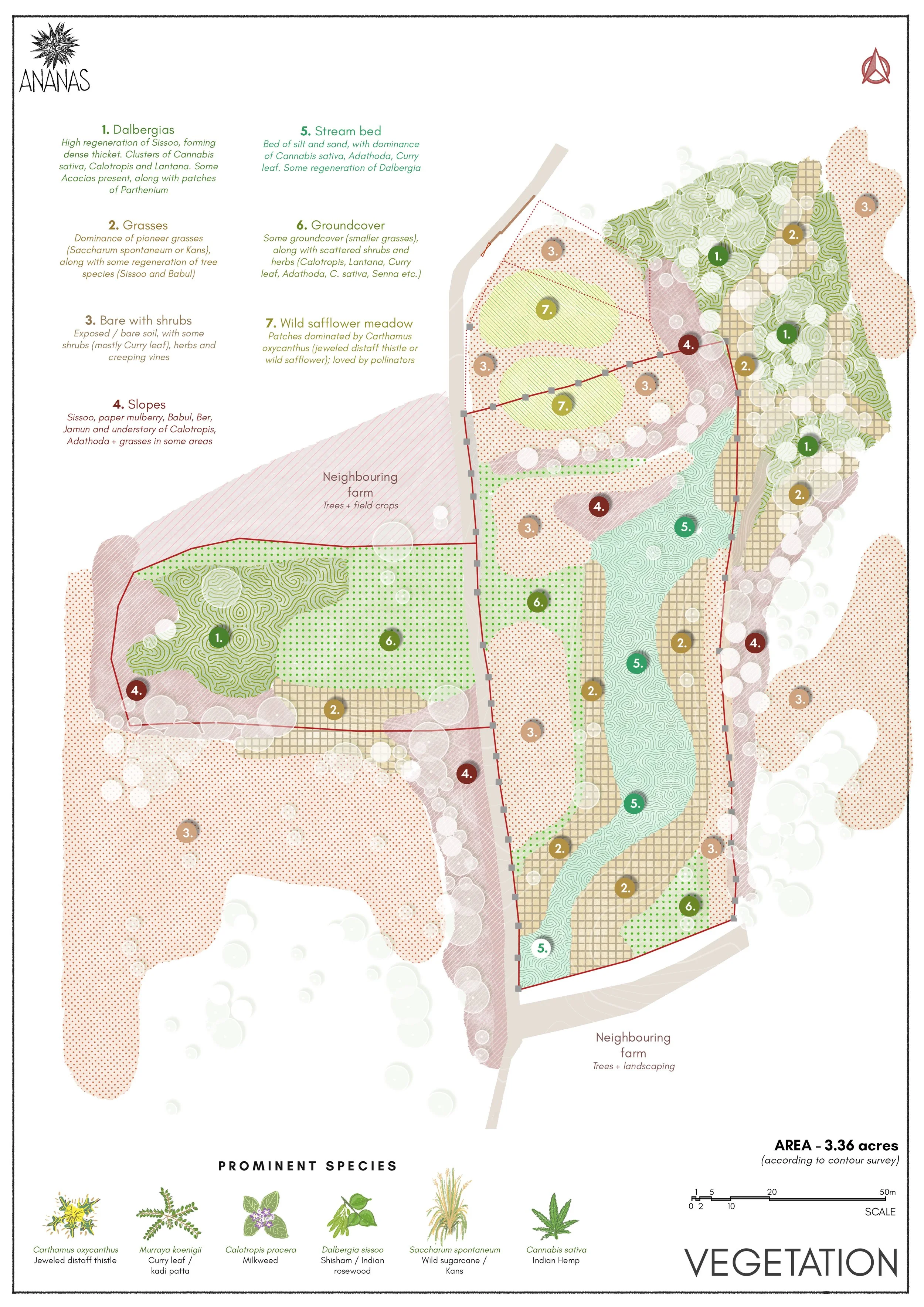
Vegetation Study
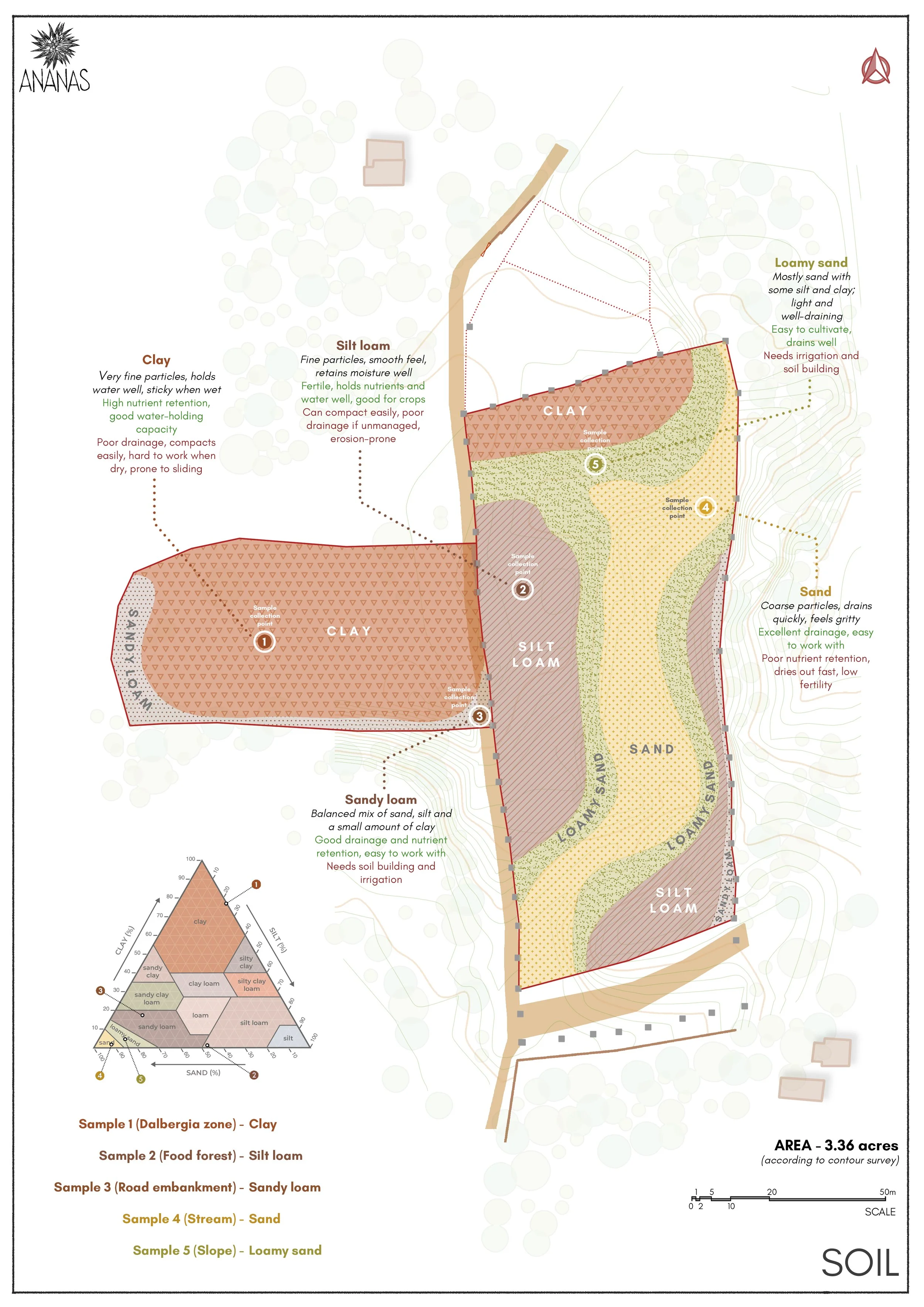
Soil Texture Mapping
The site was first assessed, and contour maps verified on-site. Observations were made on topography, dominant species, soil patterns, sun path and fauna. Reference ecosystems were visited to assess the characteristics of the bioregion. Apart from on-site research, the climate (rainfall, temperatures, storm events), geology, geomorphology and flora/fauna were studied using existing literature. This provided the design team with a thorough understanding of the dynamics at play, helping us recommend a well-rounded plan for the land.
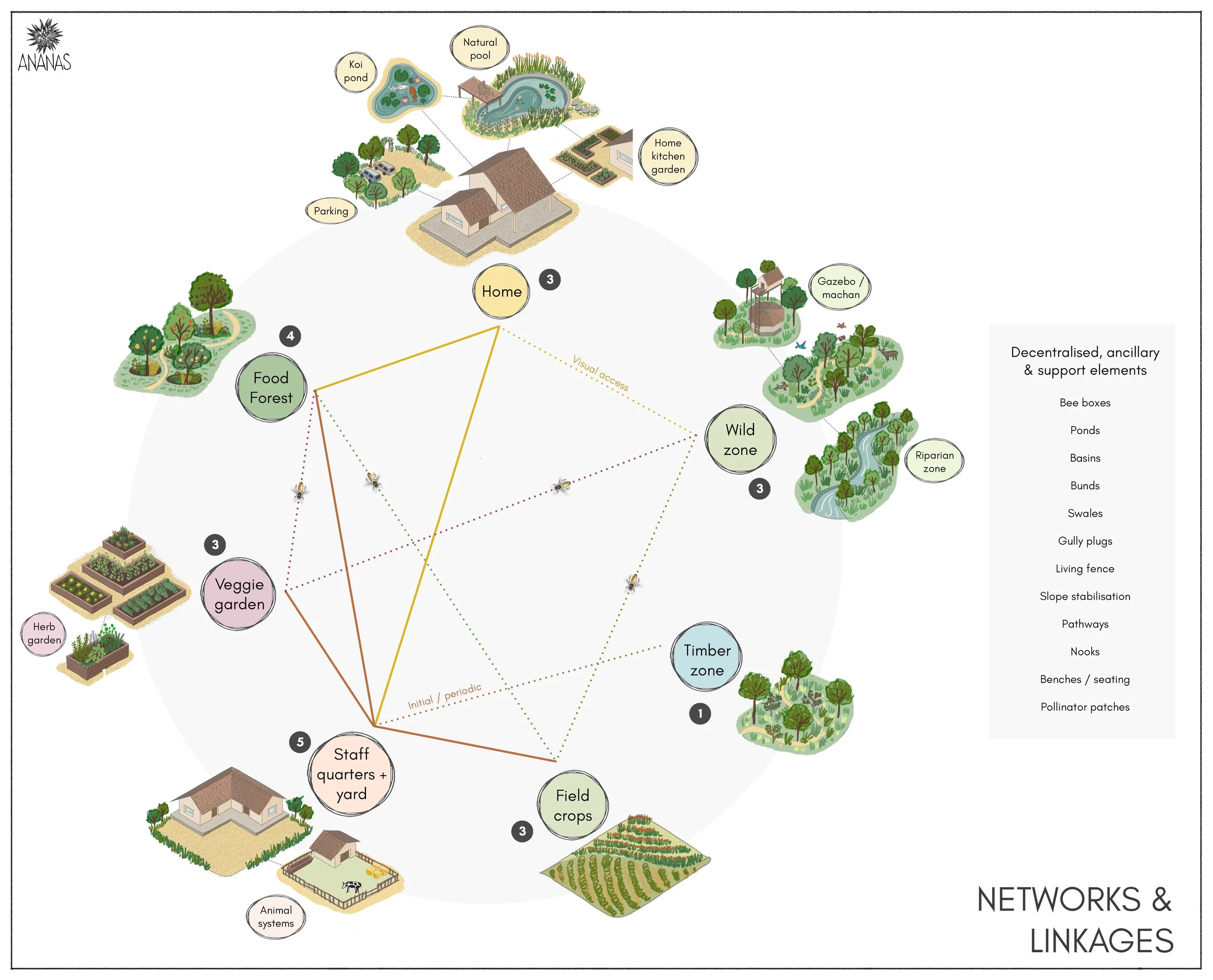
Input-output analysis for design elements
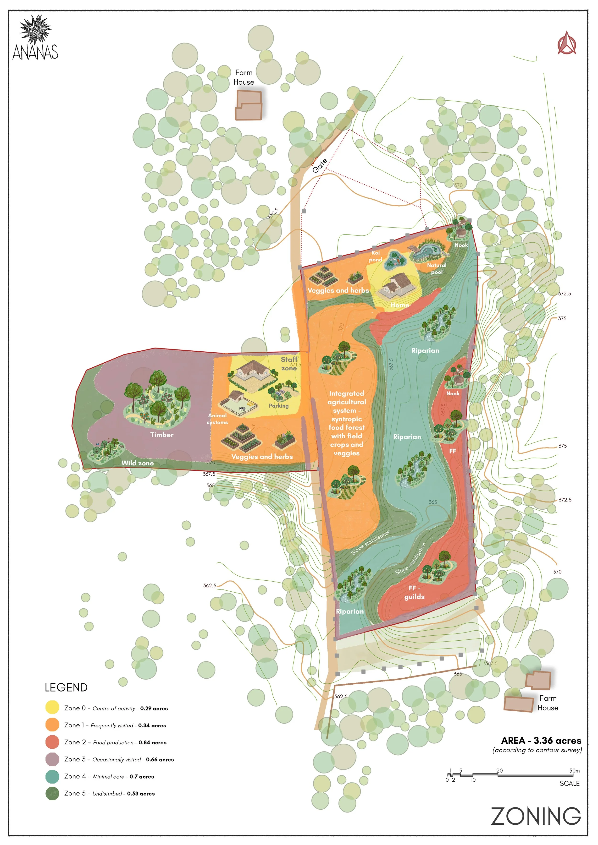
Zoning
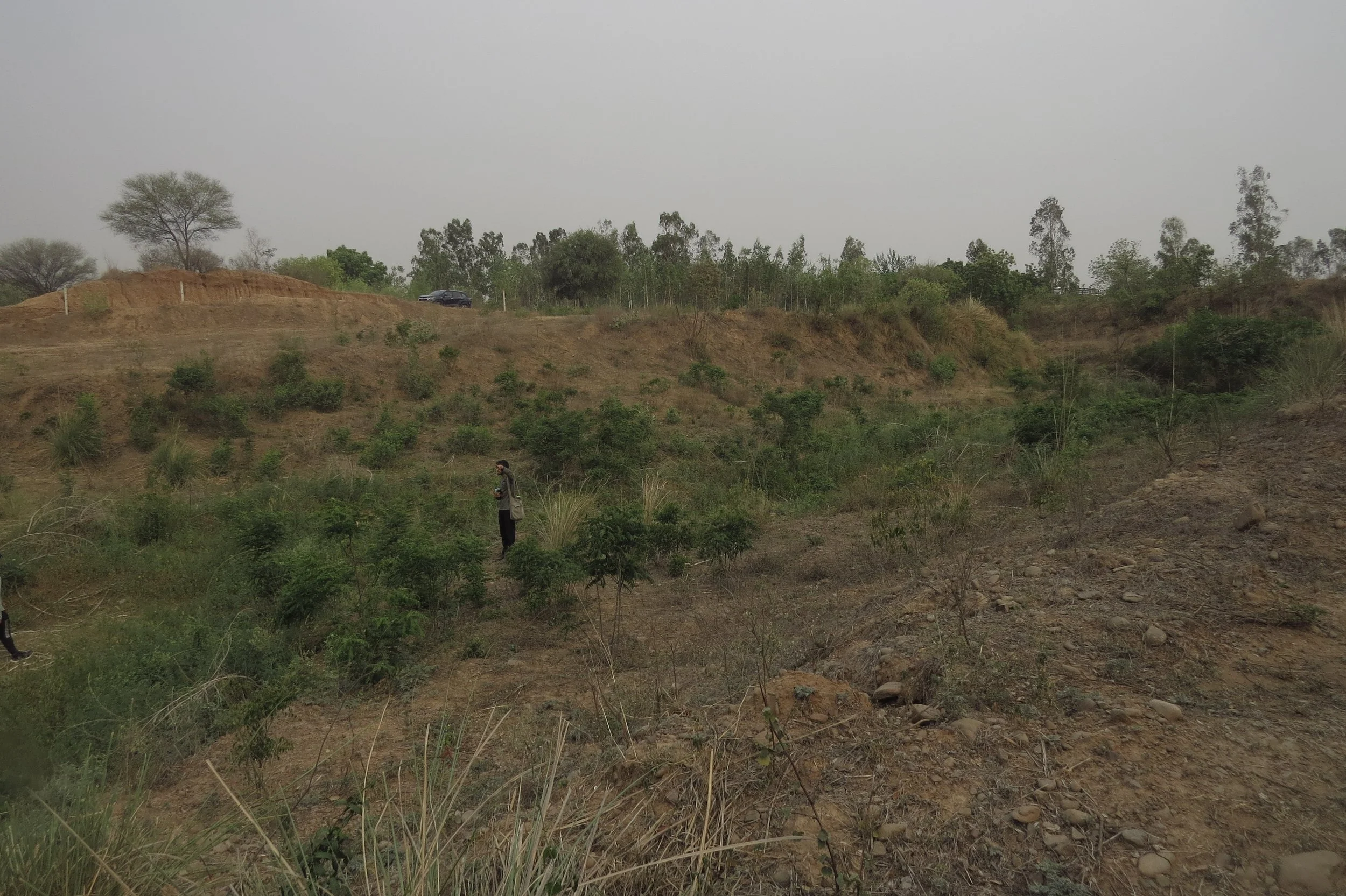
View of site and seasonal stream (vegetated area)
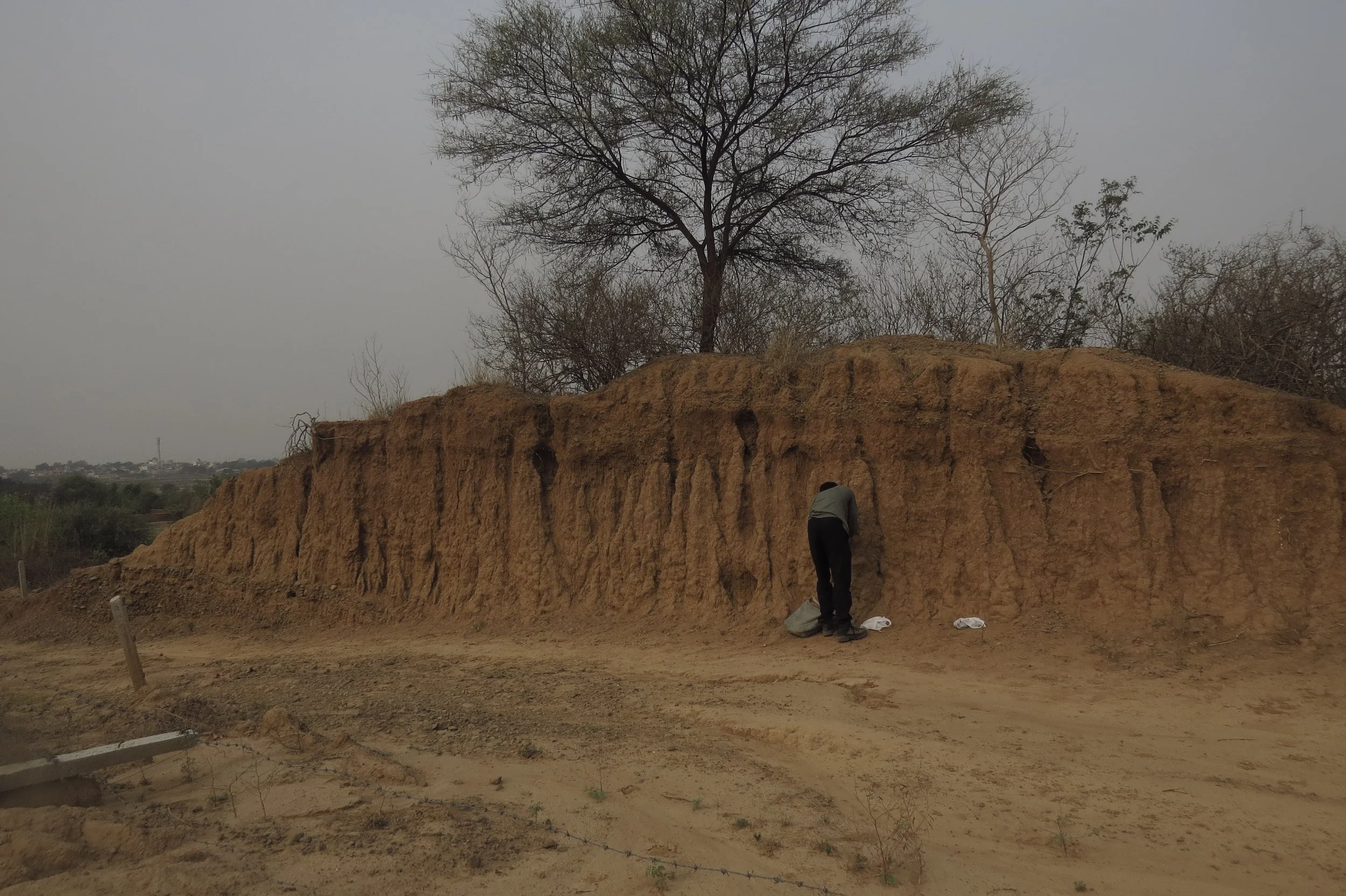
Embankment along site's access road
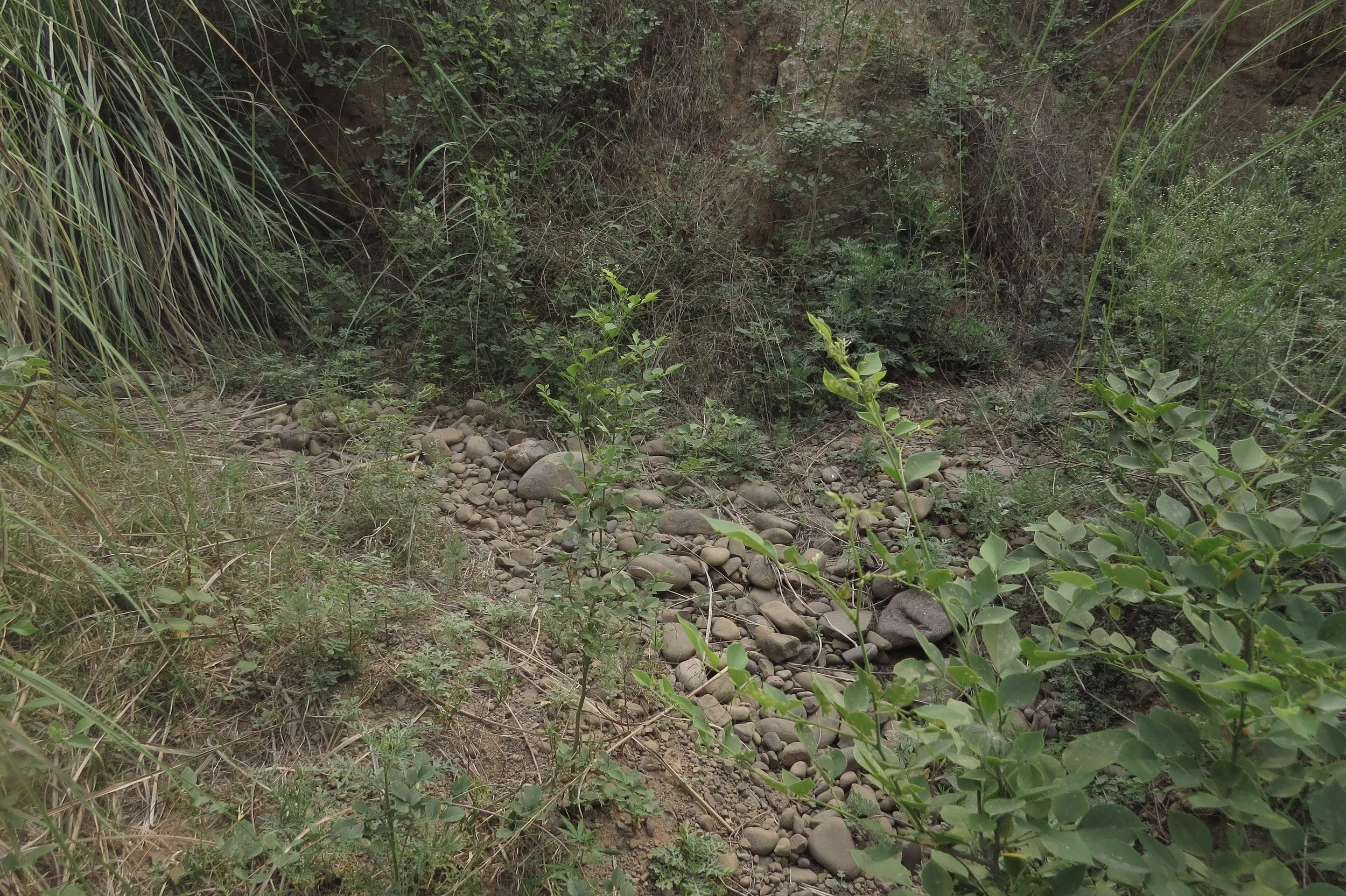
Stream bed - pebbles and silt
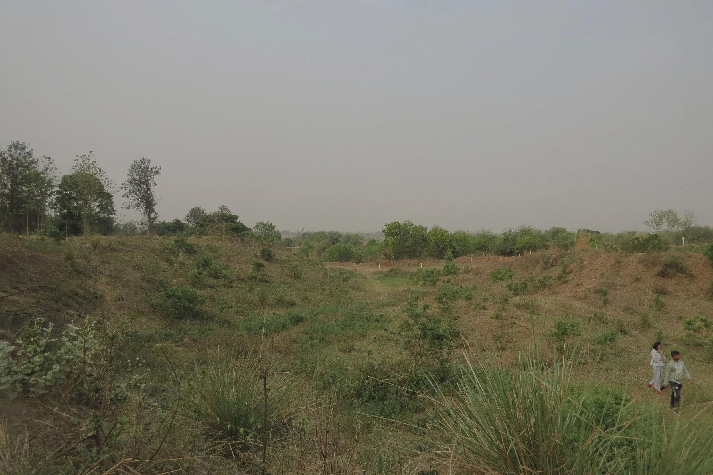
View of stream and site from the North
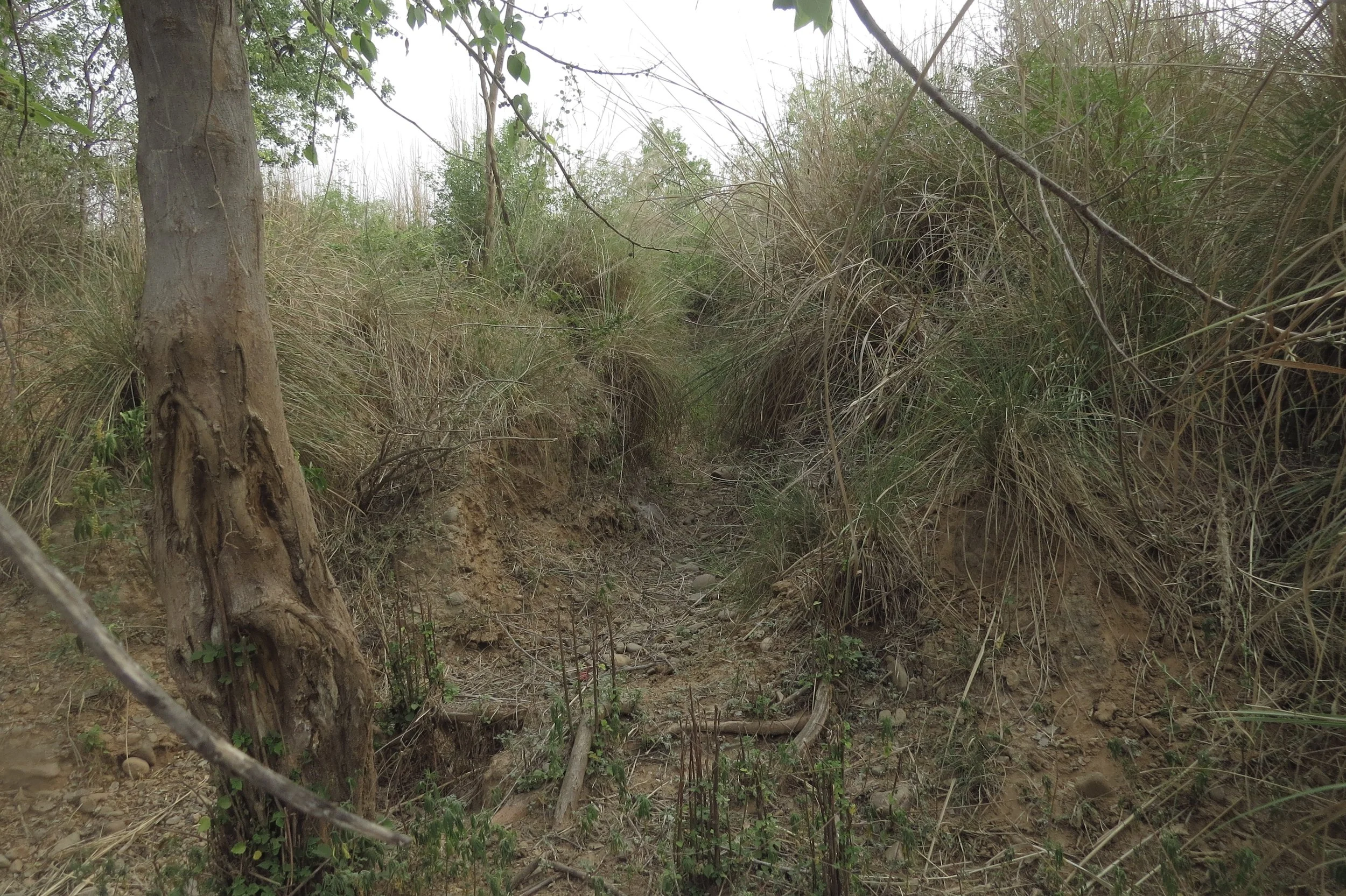
Stream bed - Kans grass (Saccharum spontaneum)
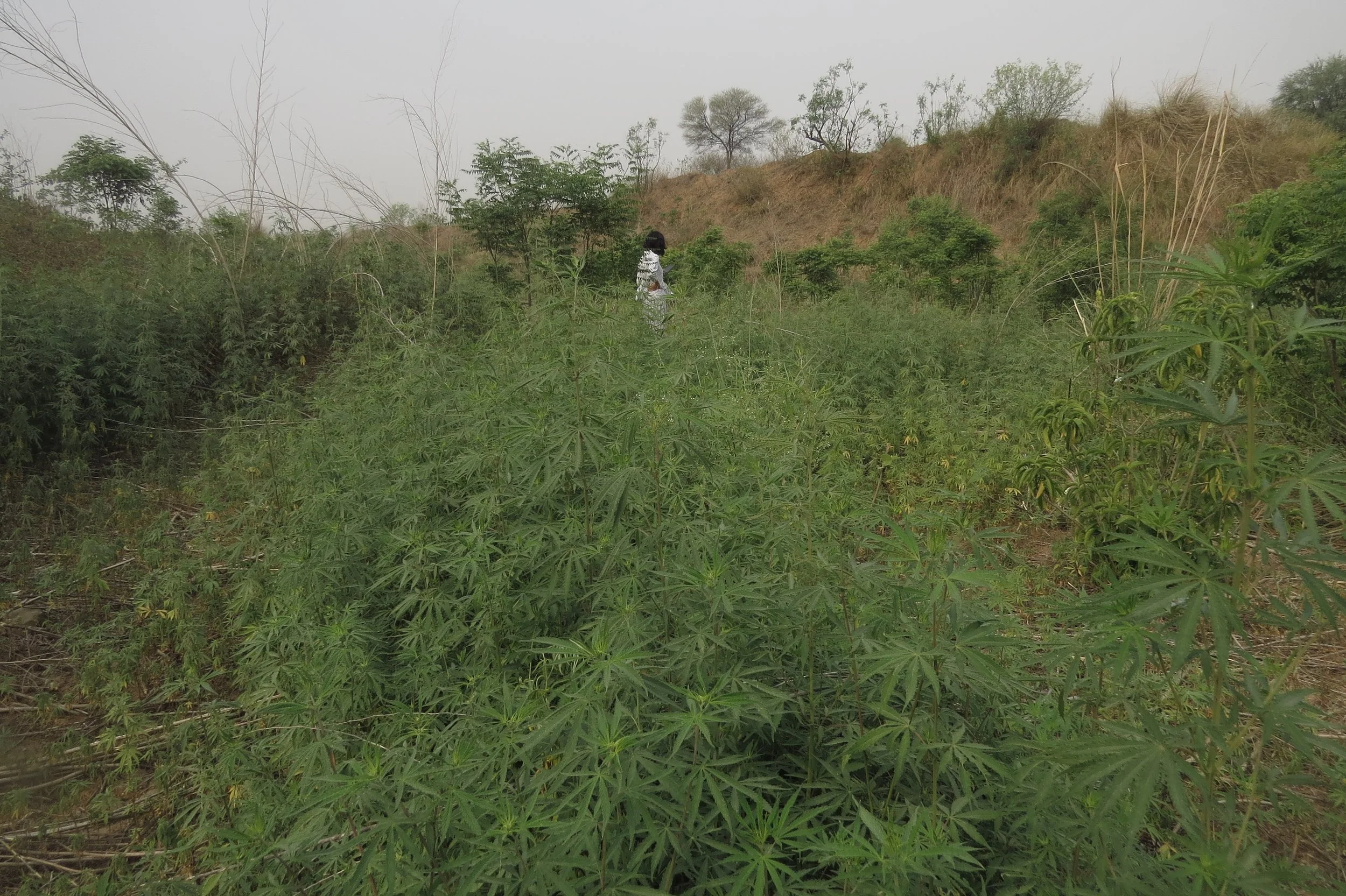
Stream with dense understory of C. indica
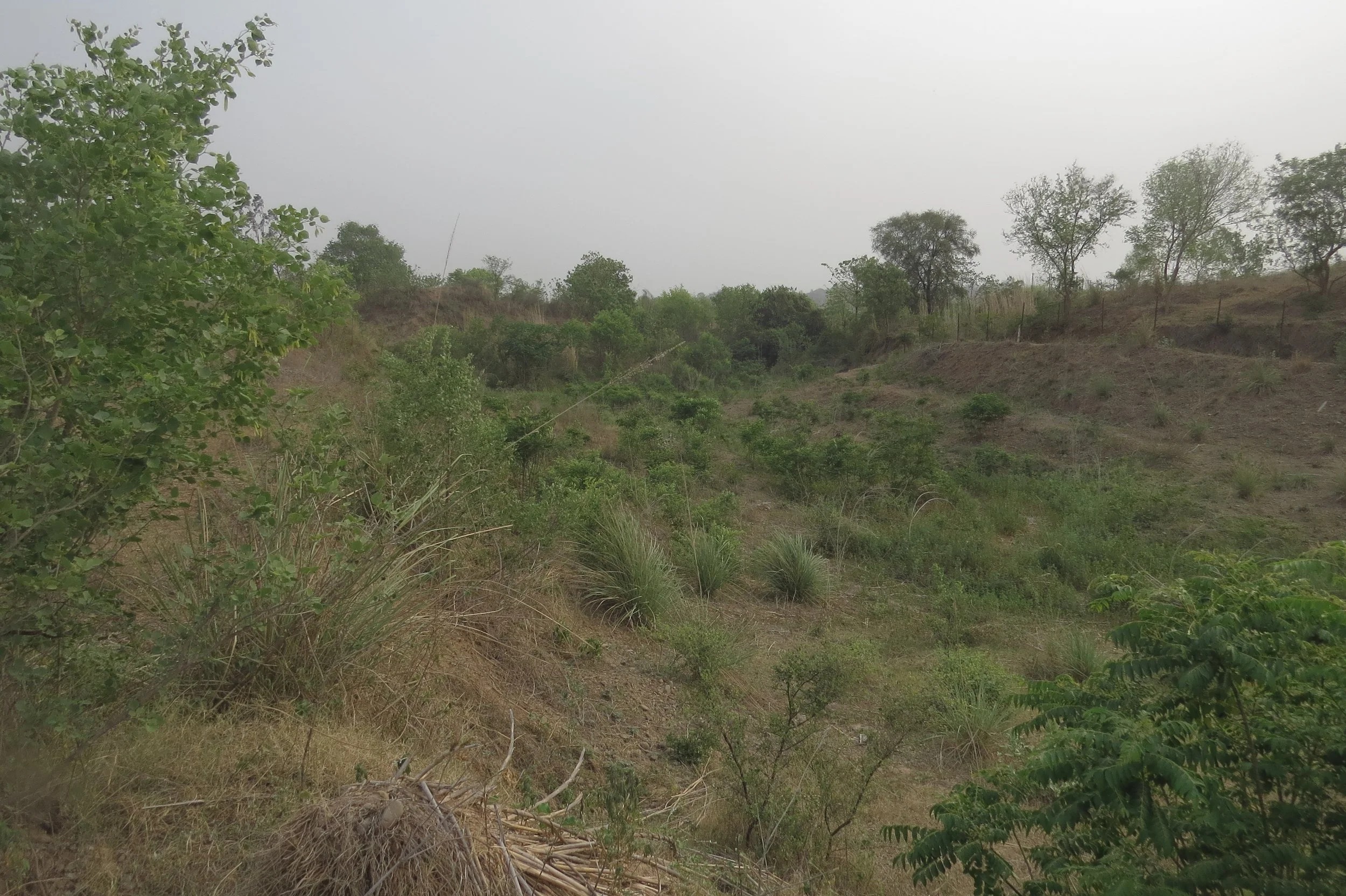
View of site and stream from West
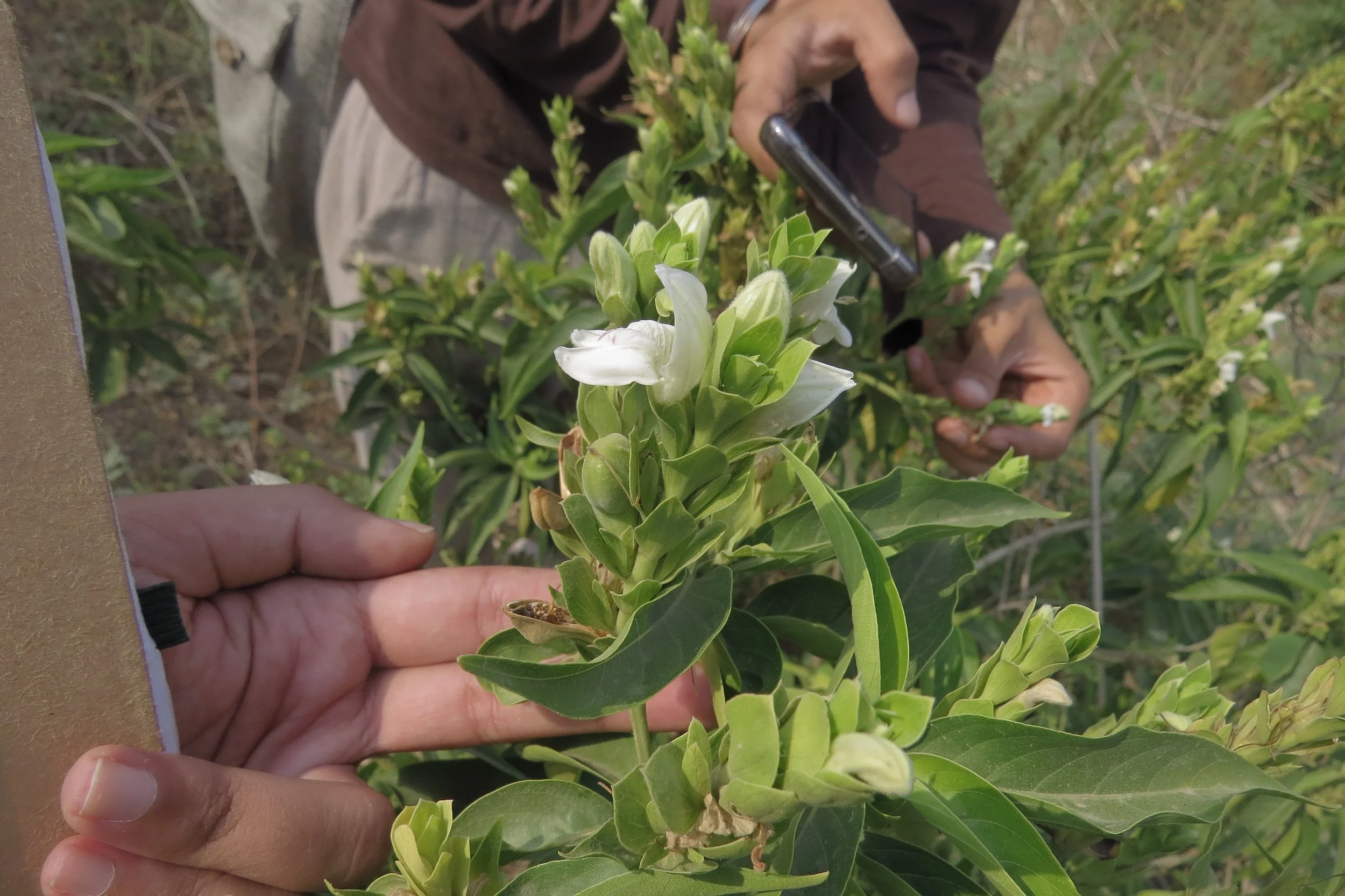
Justicia adathoda - understory species
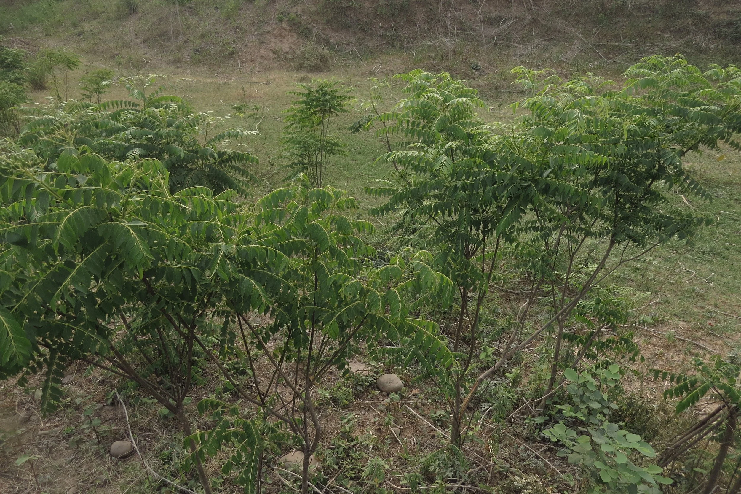
Understory species - Murraya koenigii
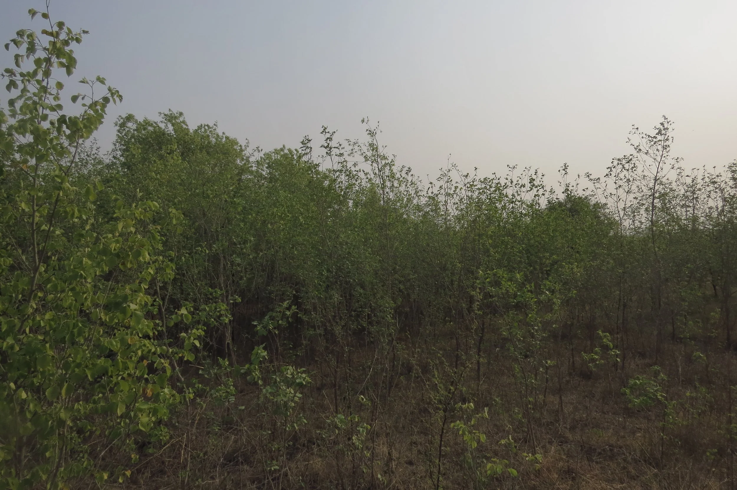
Dense Dalbergia sissoo zone
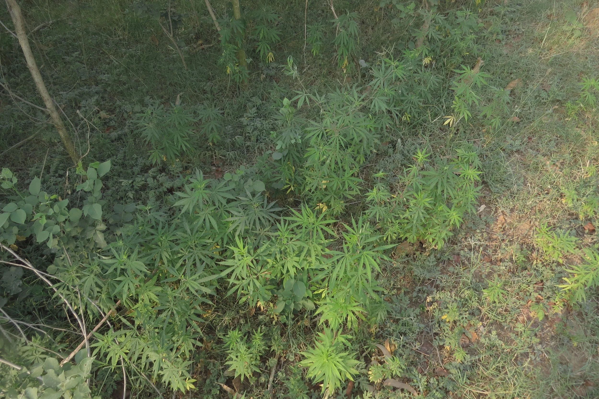
C. indica
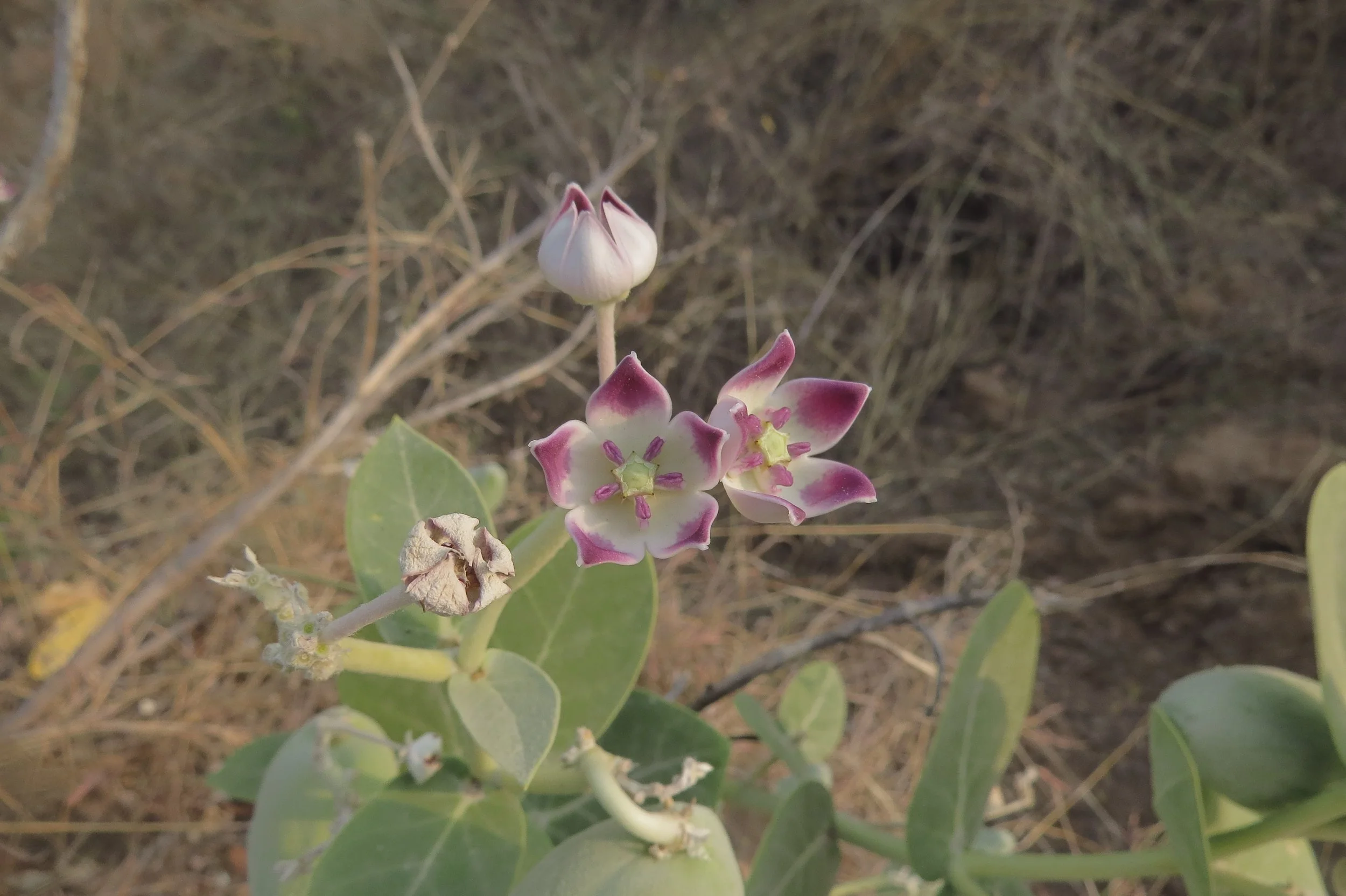
Calotropis gigantea
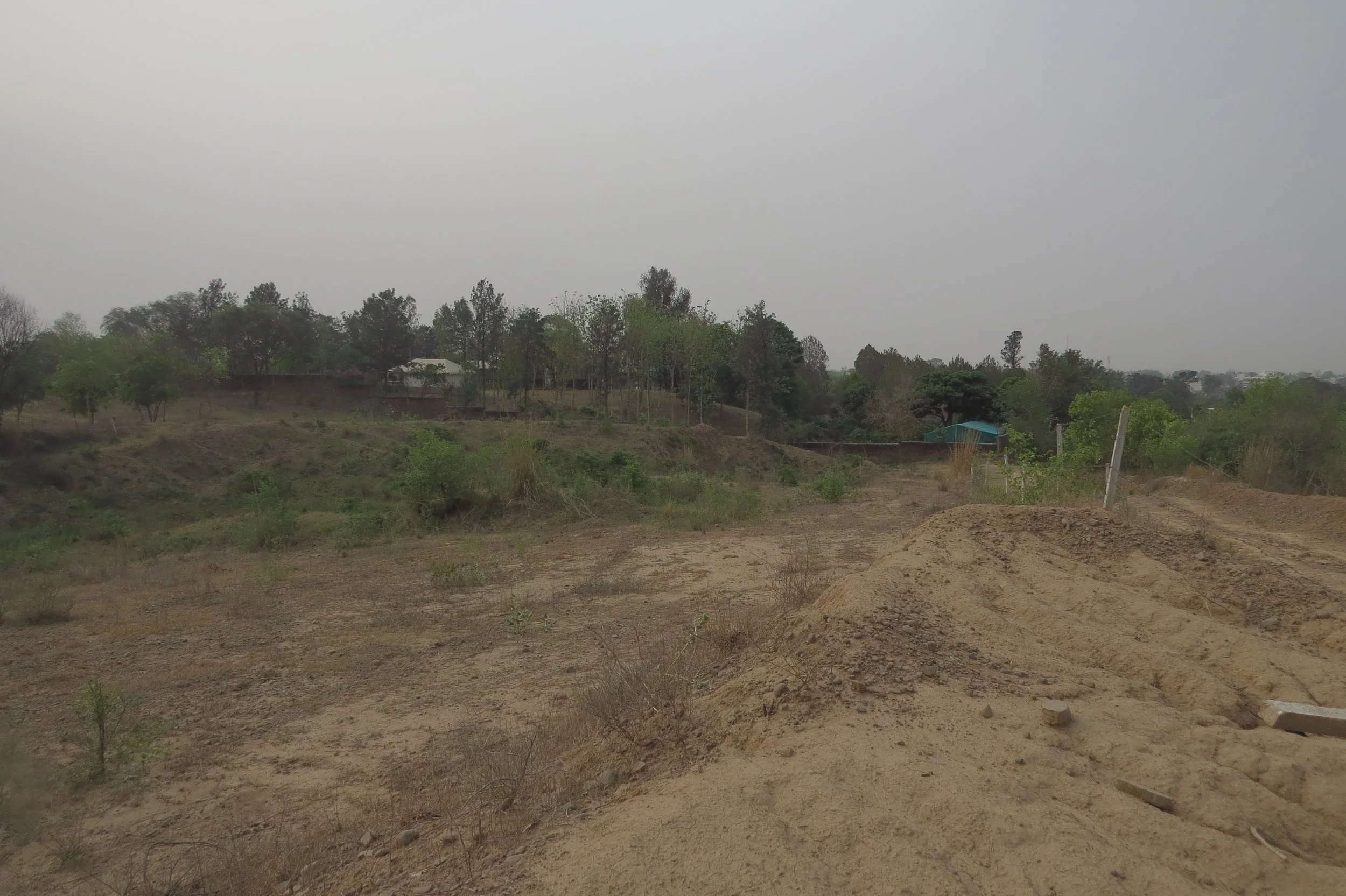
Site with eroded soil
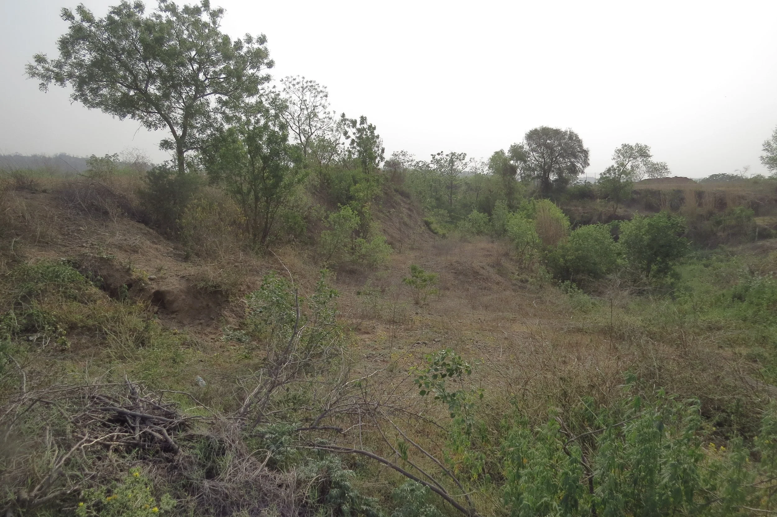
View of site
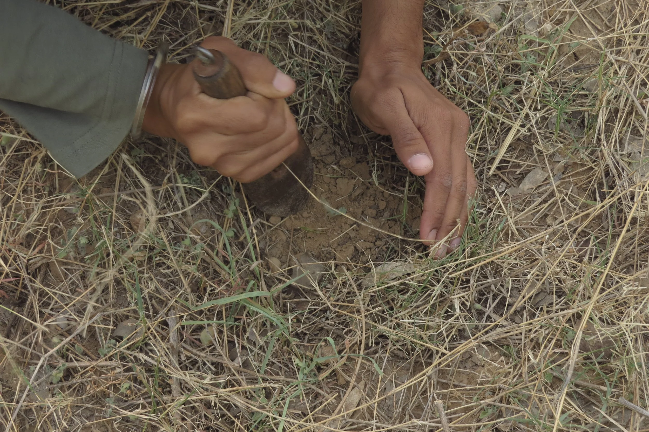
Collecting soil samples for testing
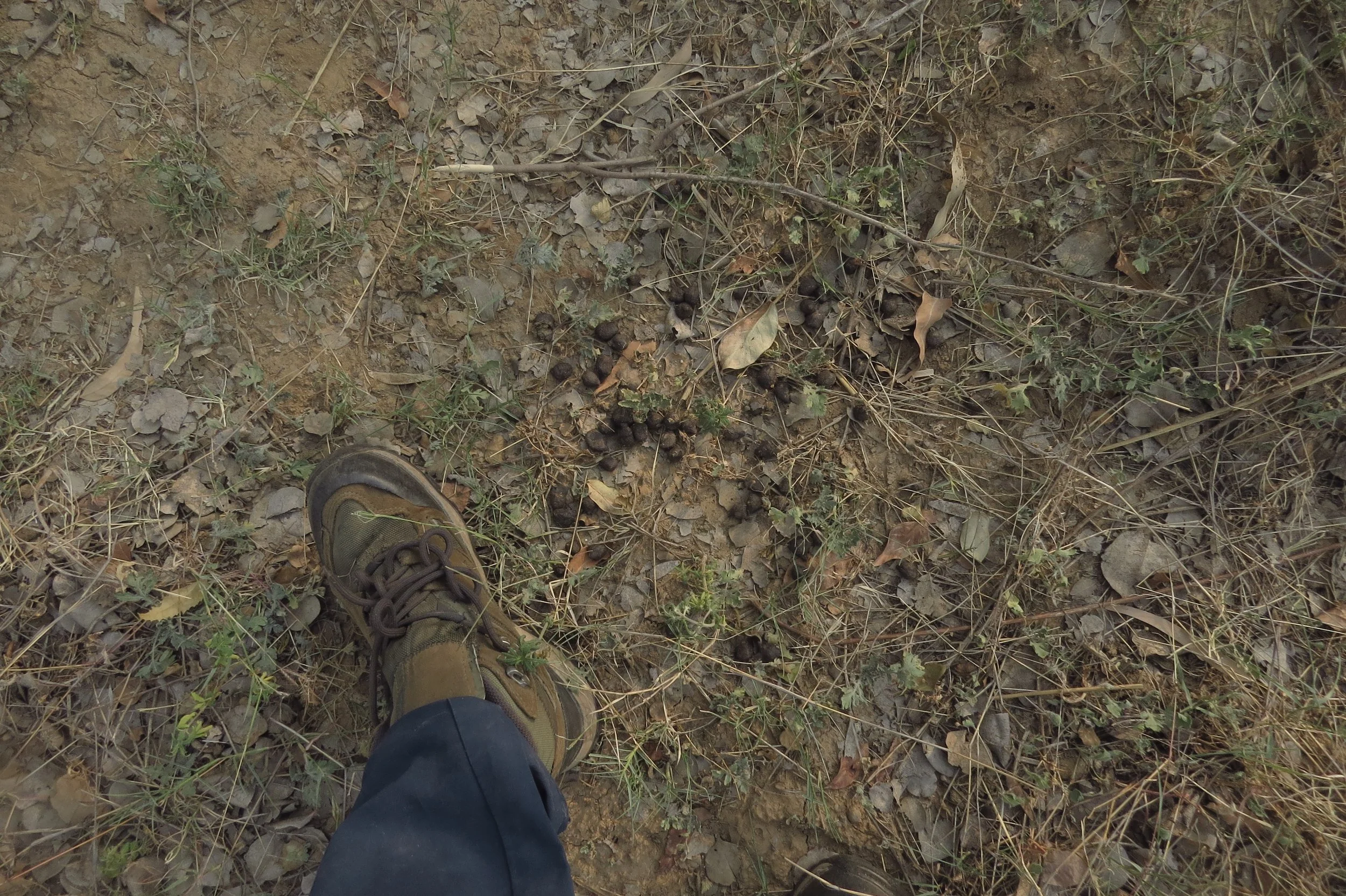
Deer scat in wild zones
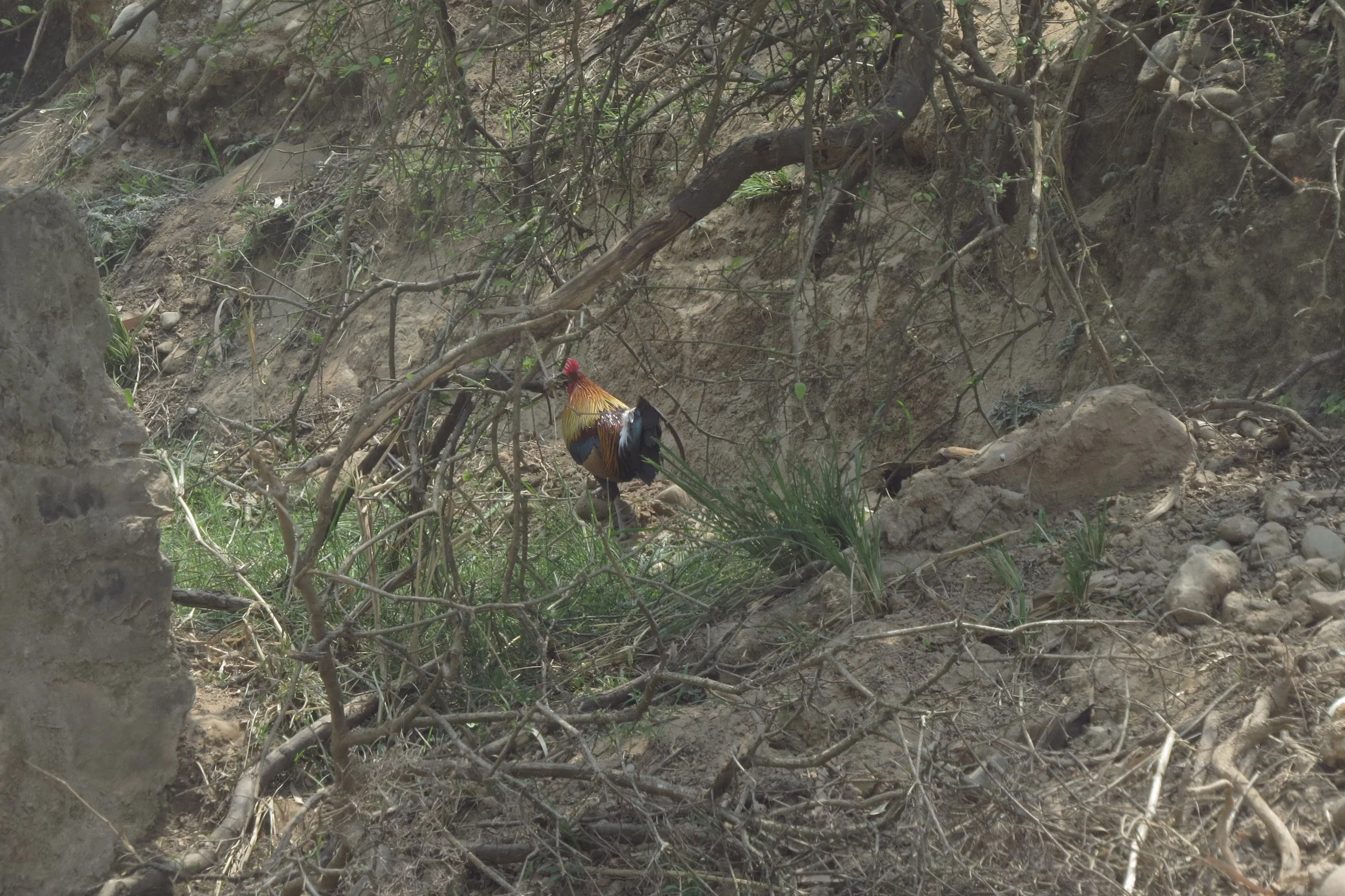
Jungle fowl
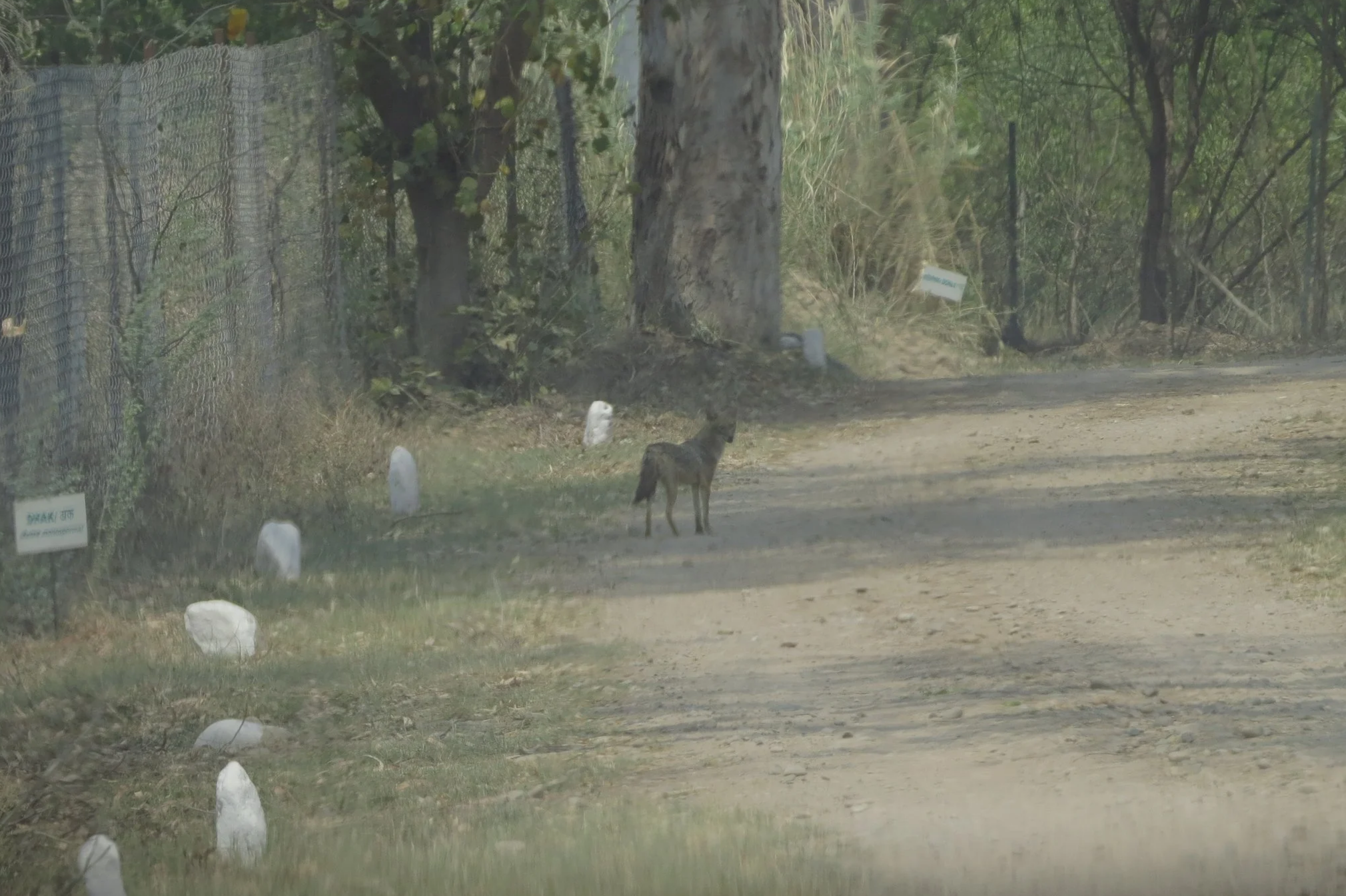
Golden jackal in reference ecosystem
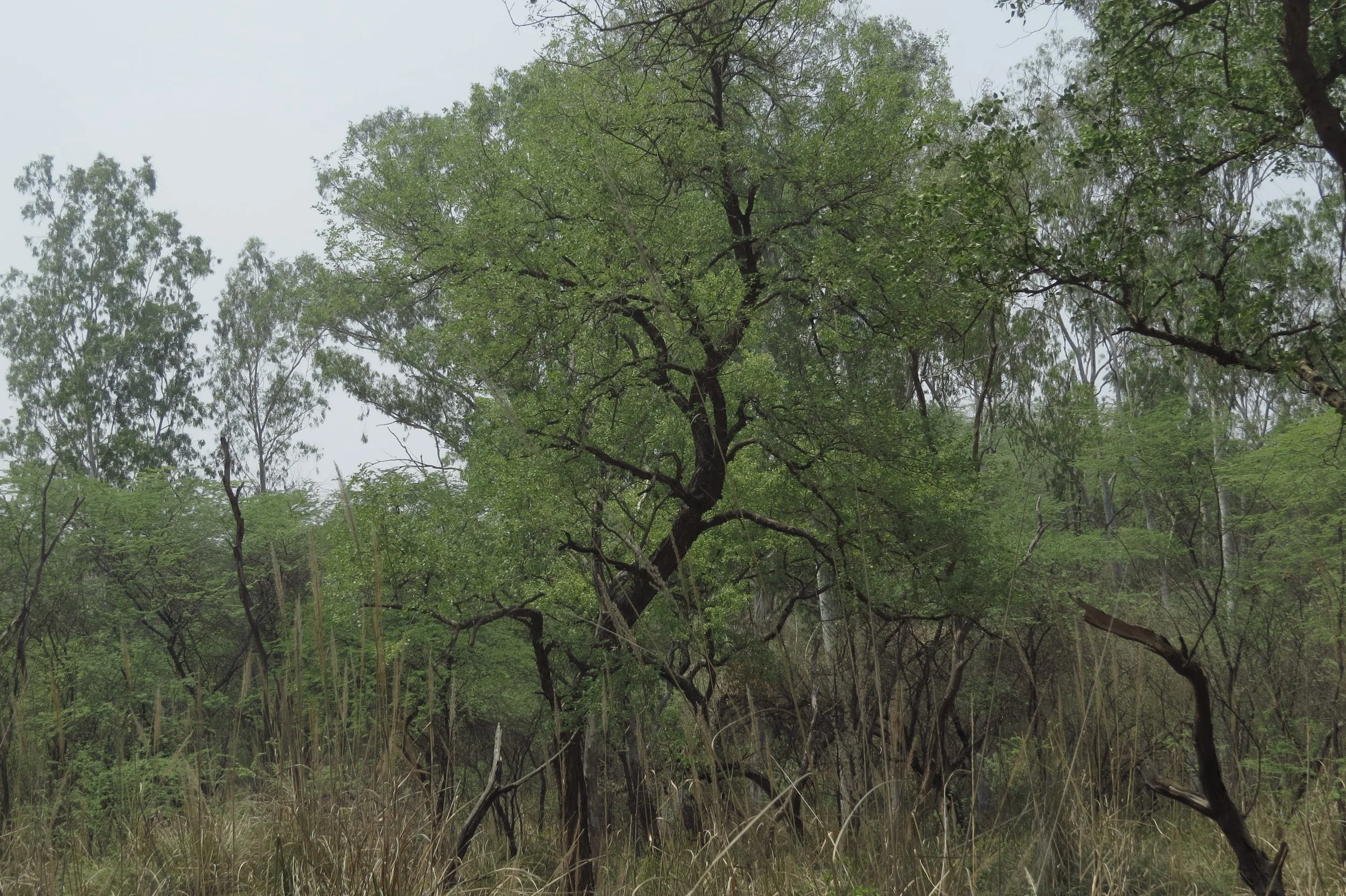
Reference ecosystem - Khair-sissoo forest
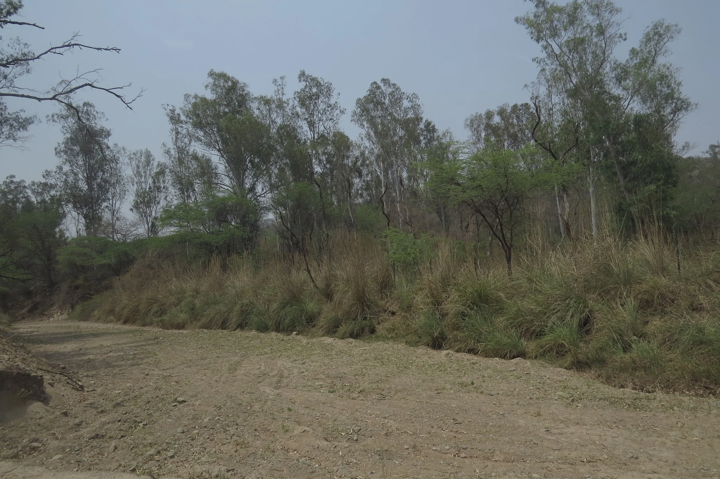
Slope along river in forest - stabilised with Kans grass