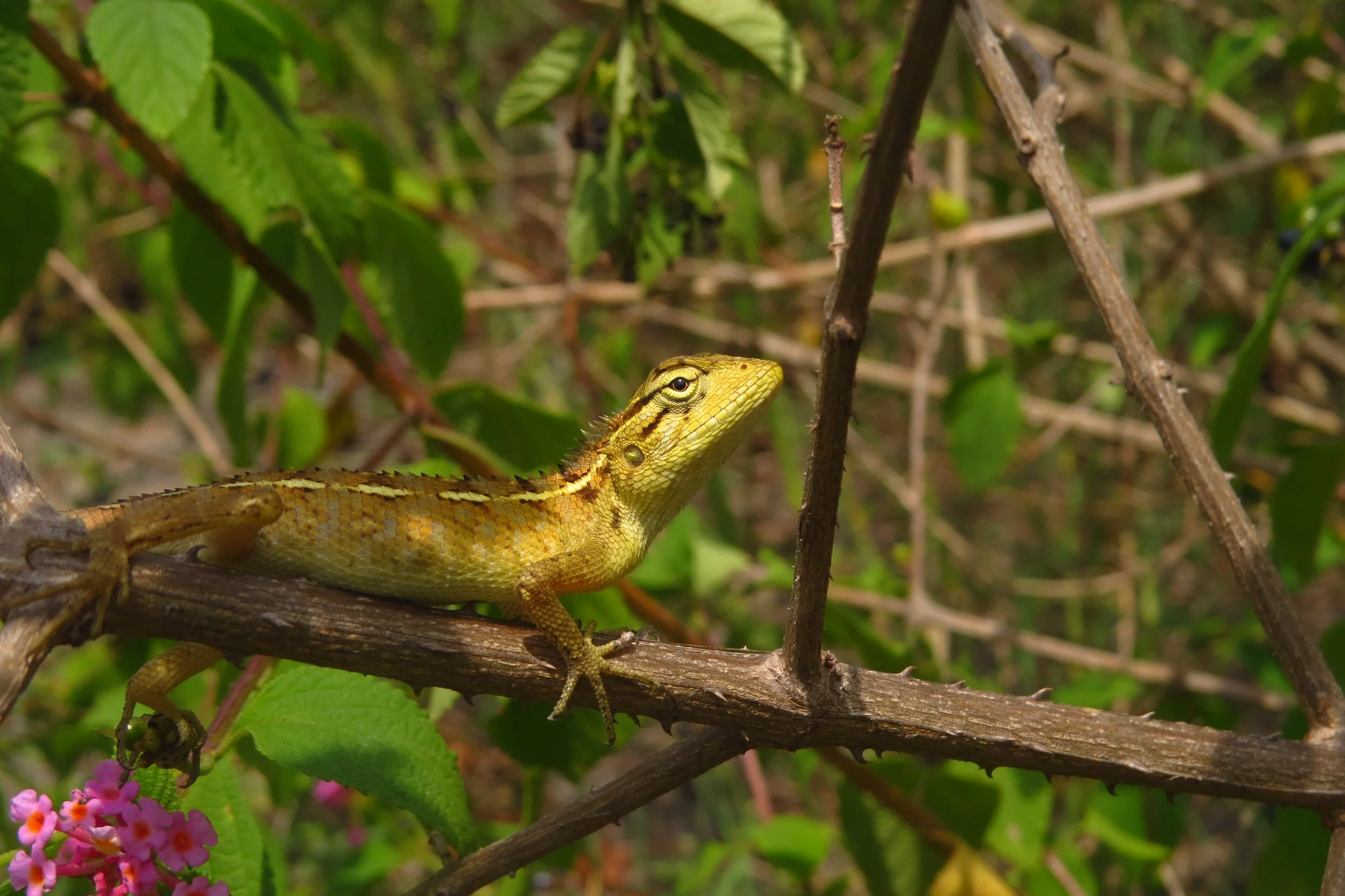
Shoolagiri Farm
Conceptual design and earthworks recommendations
January 2021 - October 2022
for Ananas Design
Role: Project lead
Collaborators: Jananee Mohan, Kiri Meili, Nikhil Rodrigues
Shoolagiri, Krishnagiri, Tamil Nadu, IN
5 acres | 790m ASL
Tropical savanna climate
749mm annual rainfall | Red sandy loam
South Deccan Plateau dry deciduous forest / Deccan thorn scrub forests
Phase 1 - Design
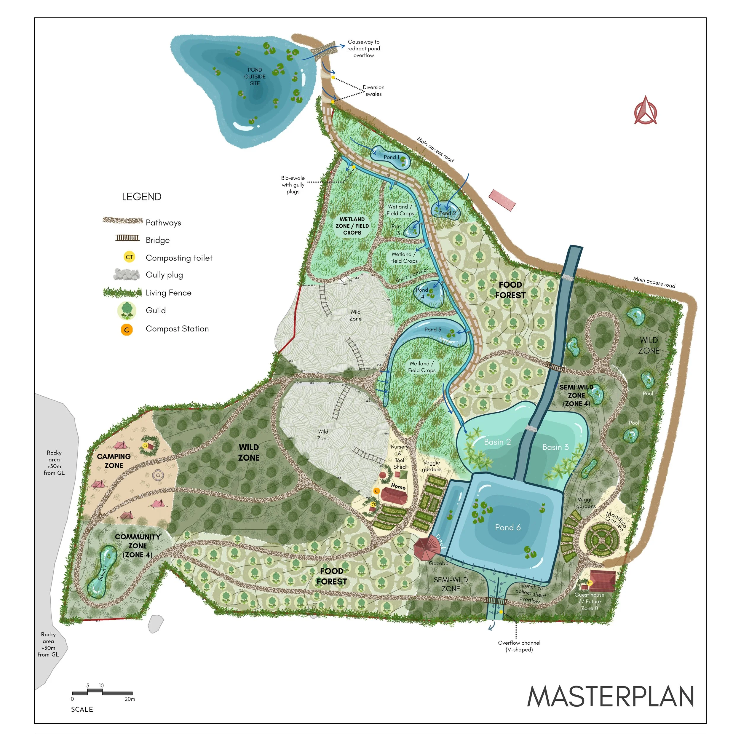
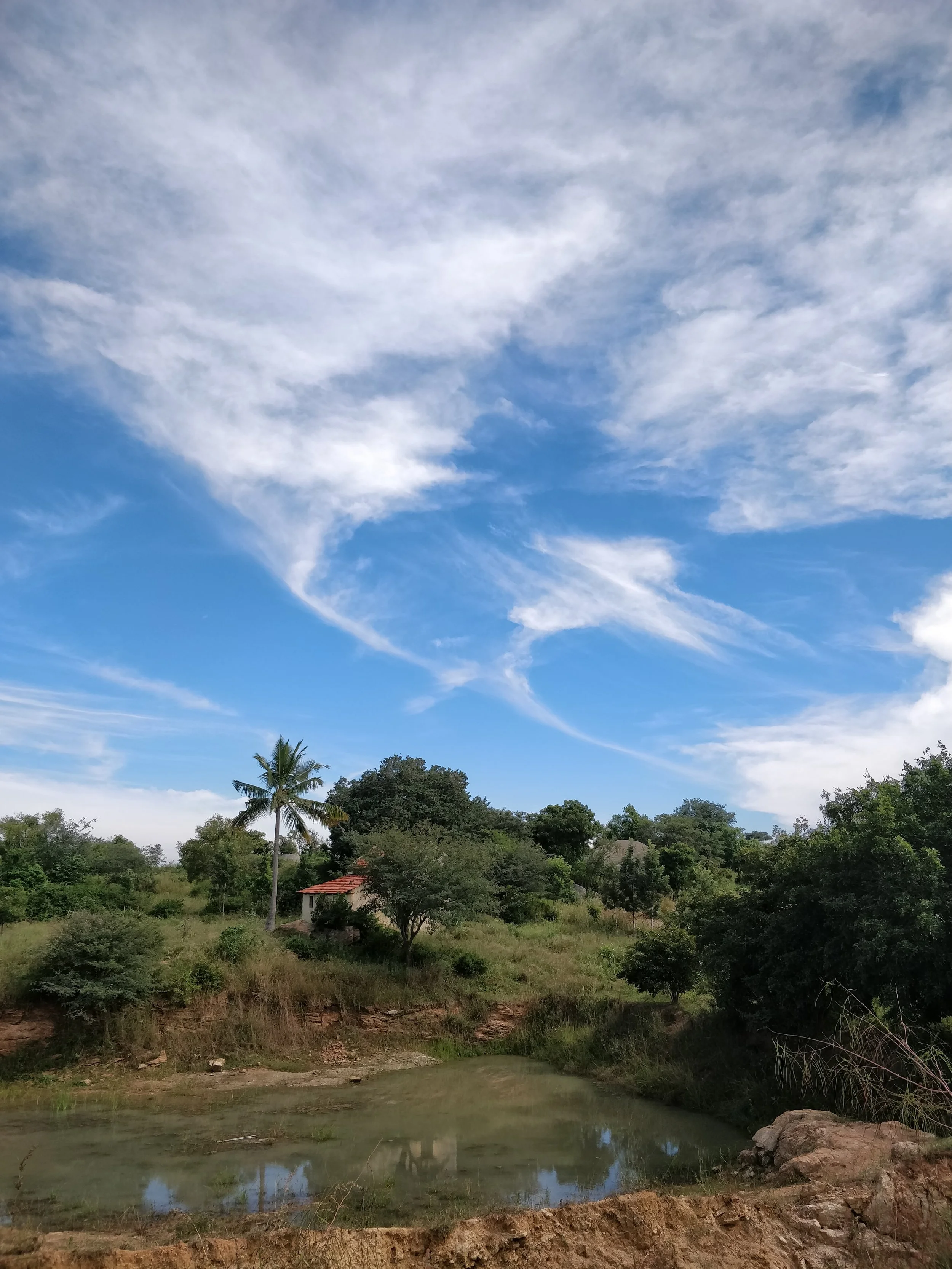
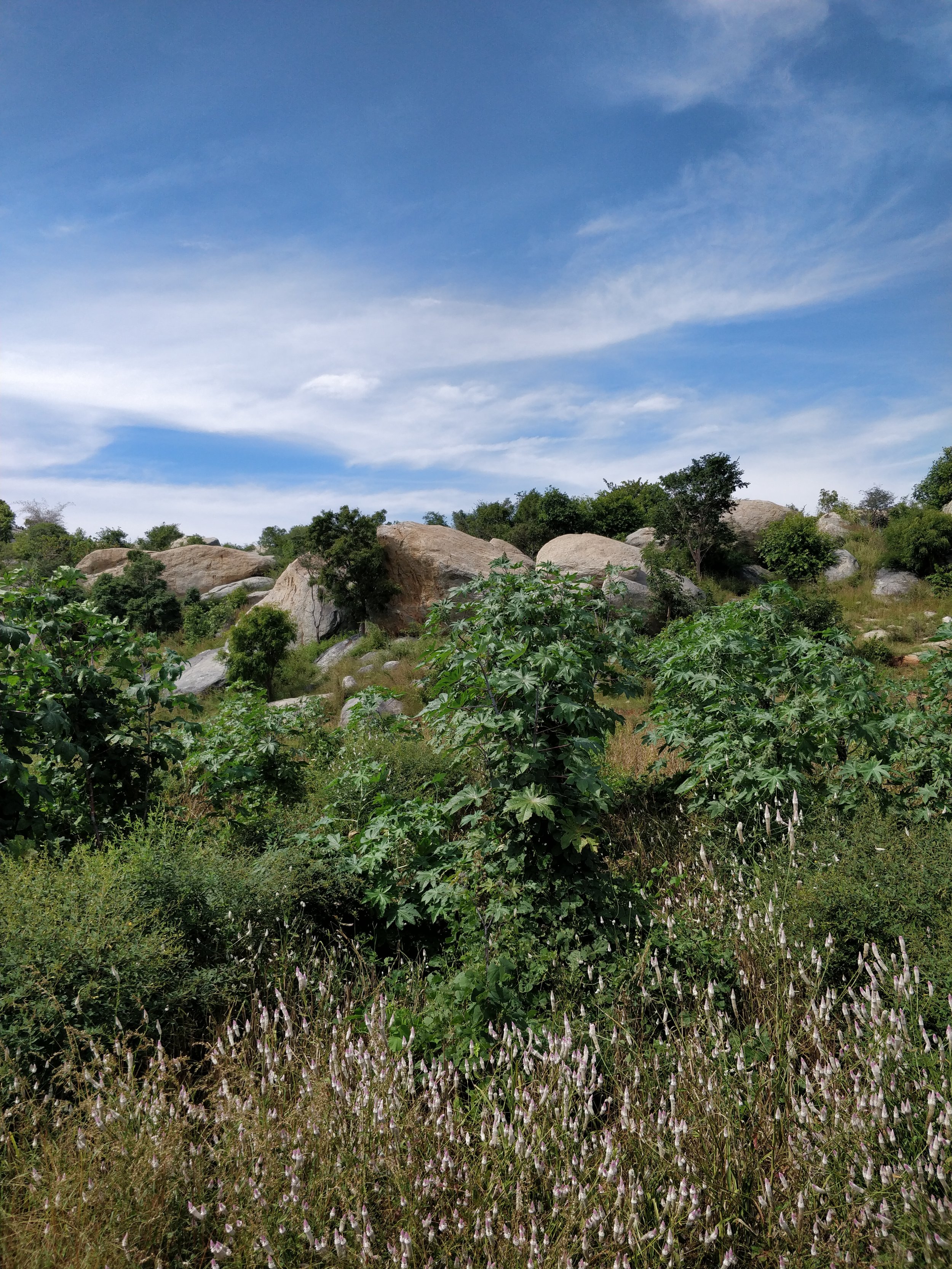
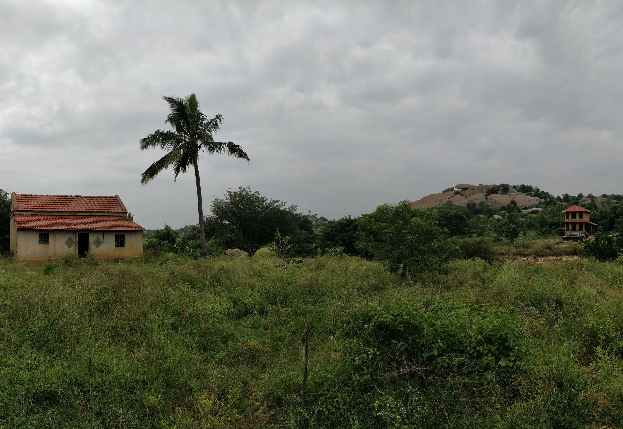
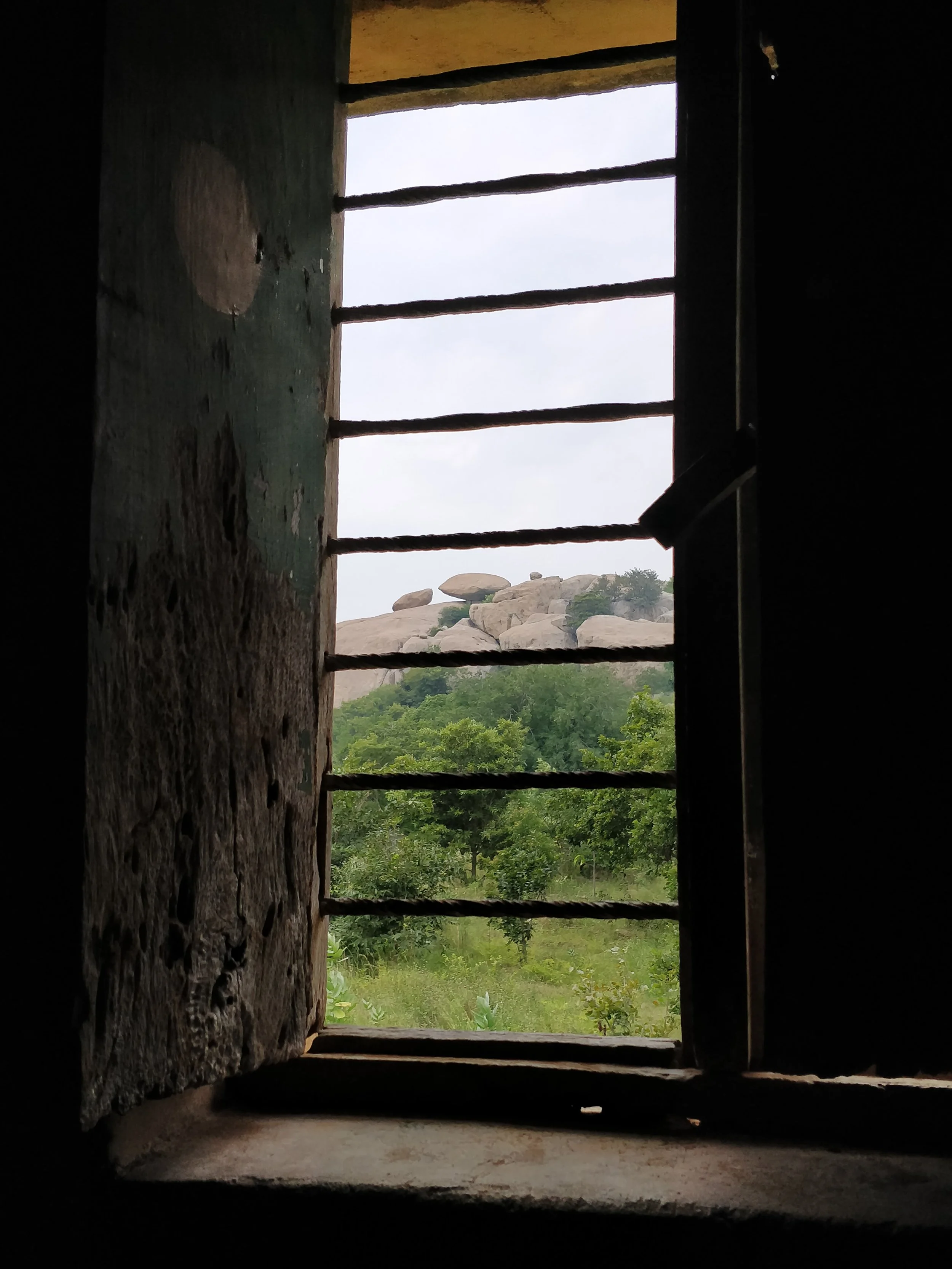
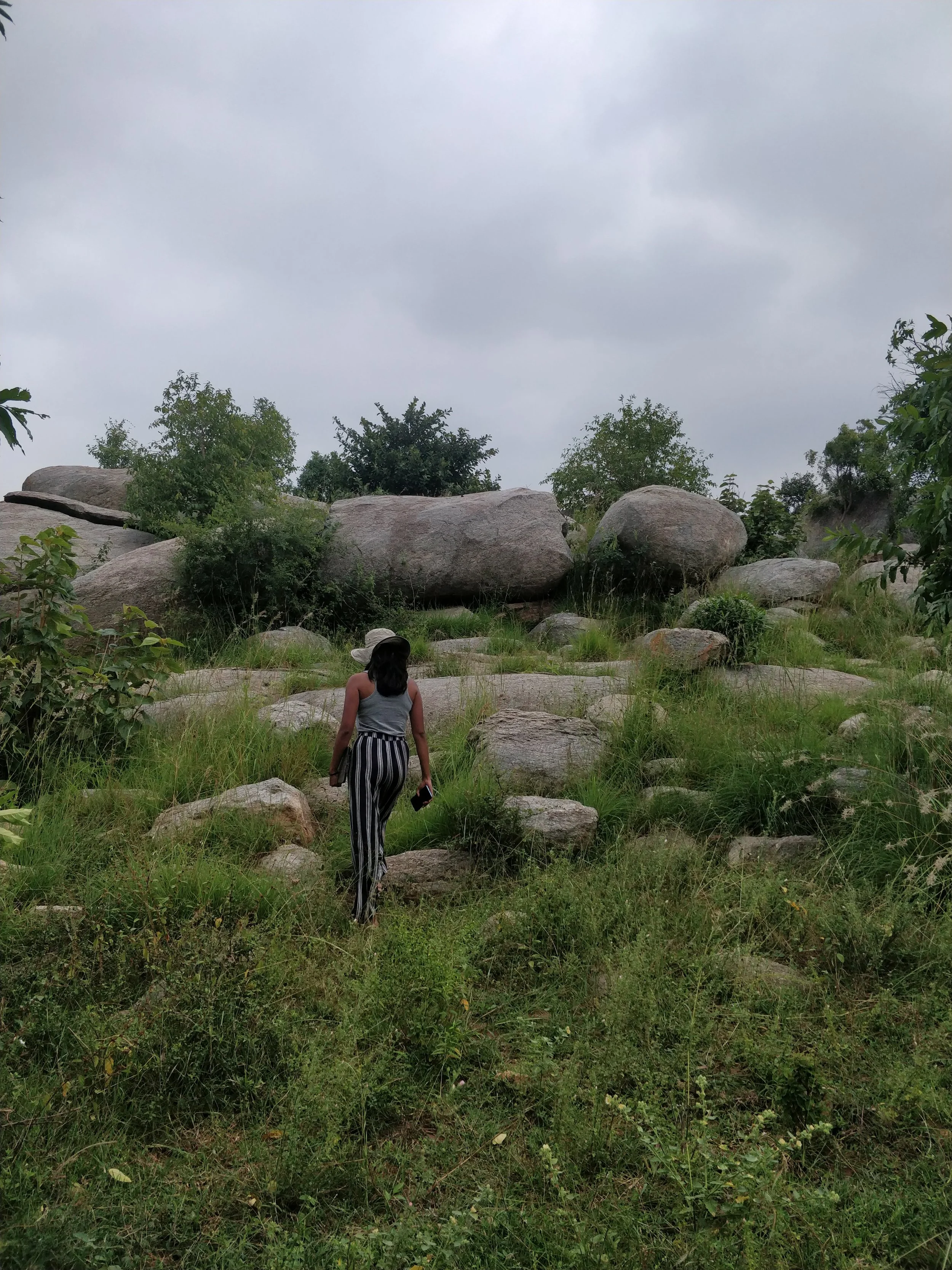
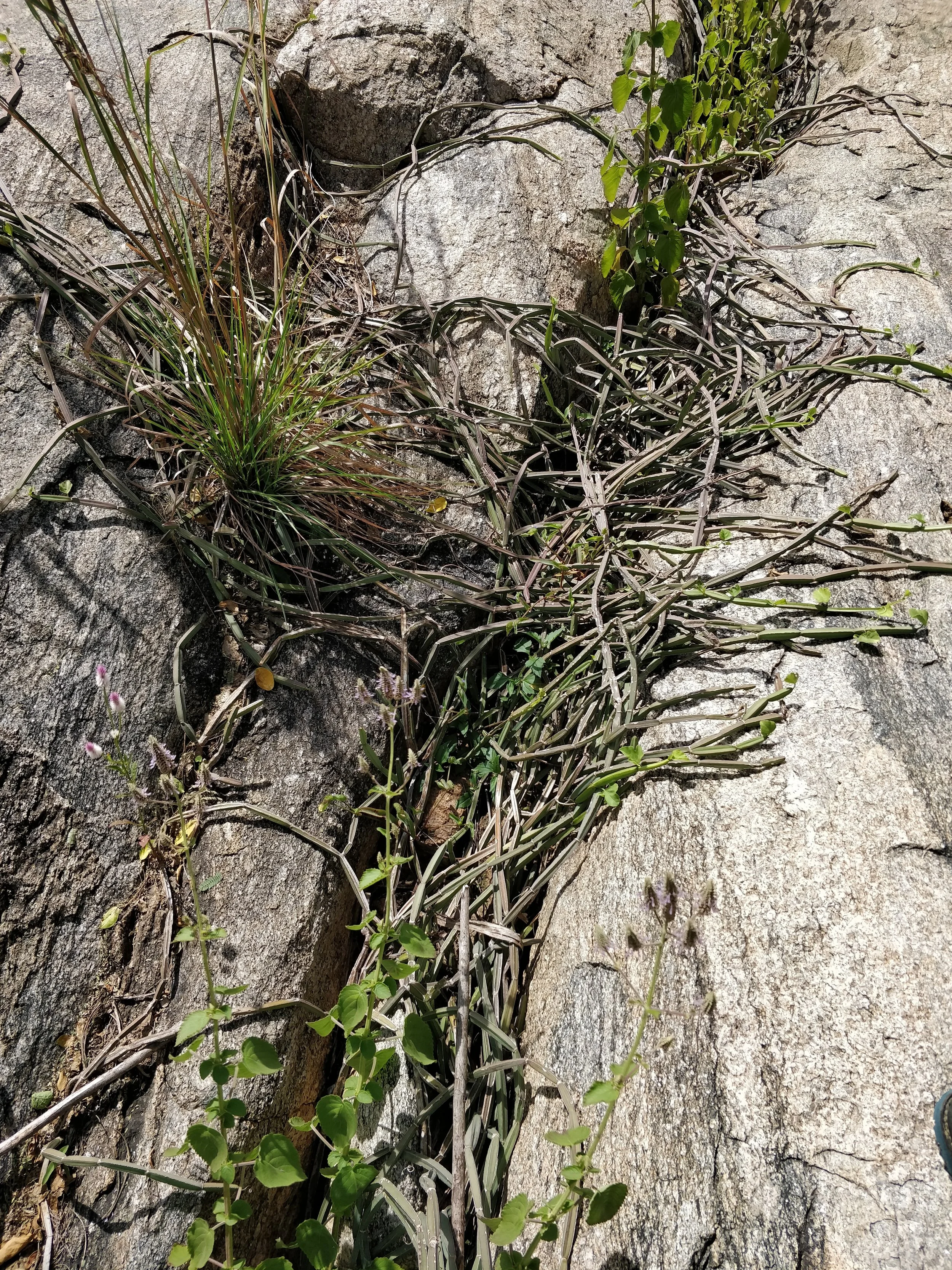
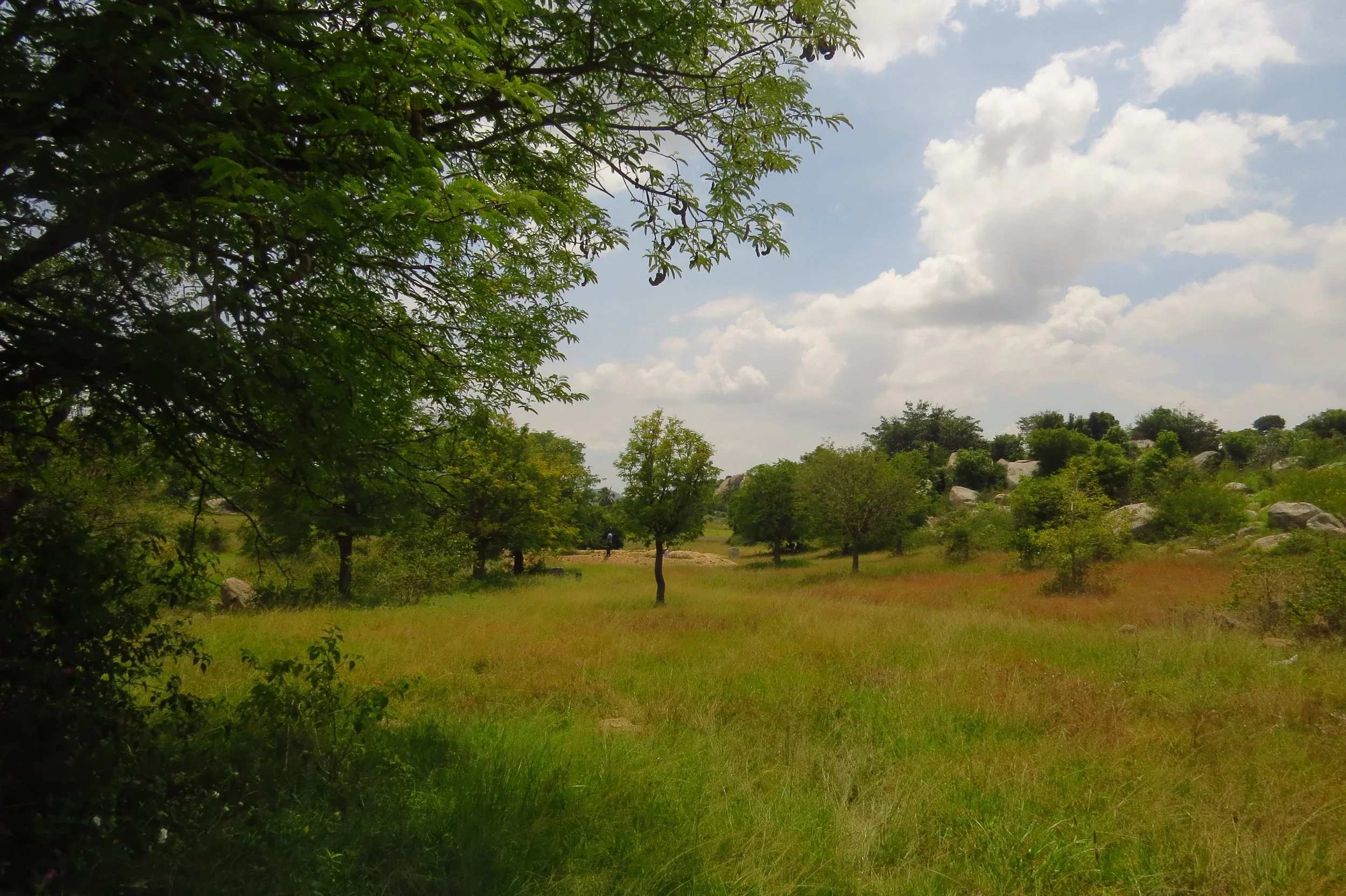
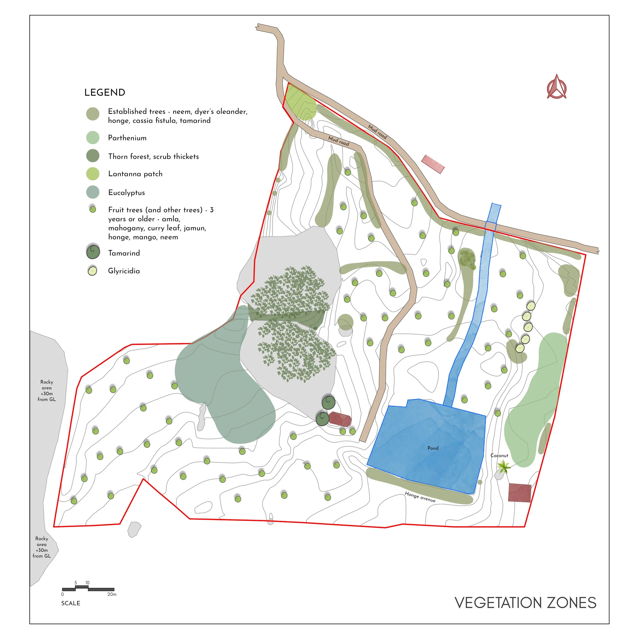
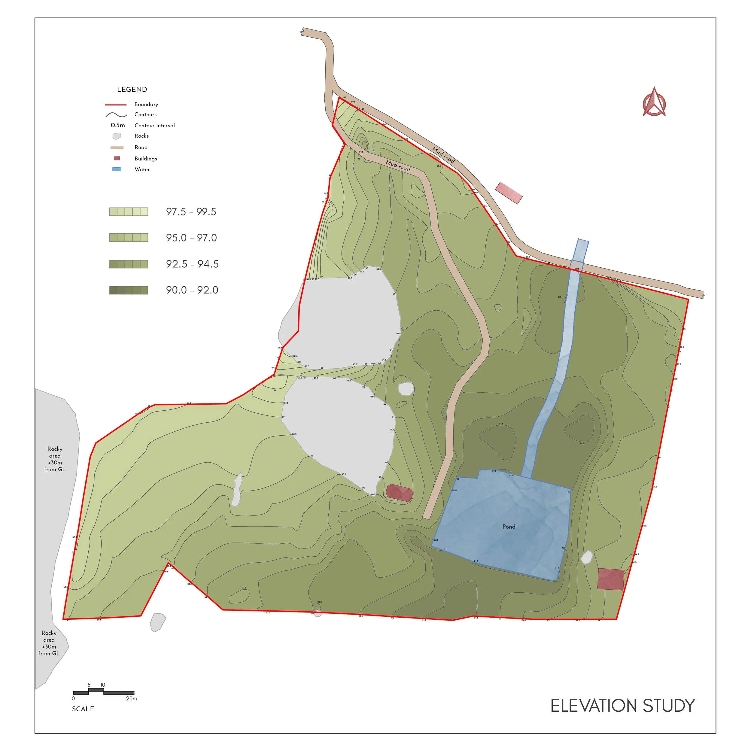
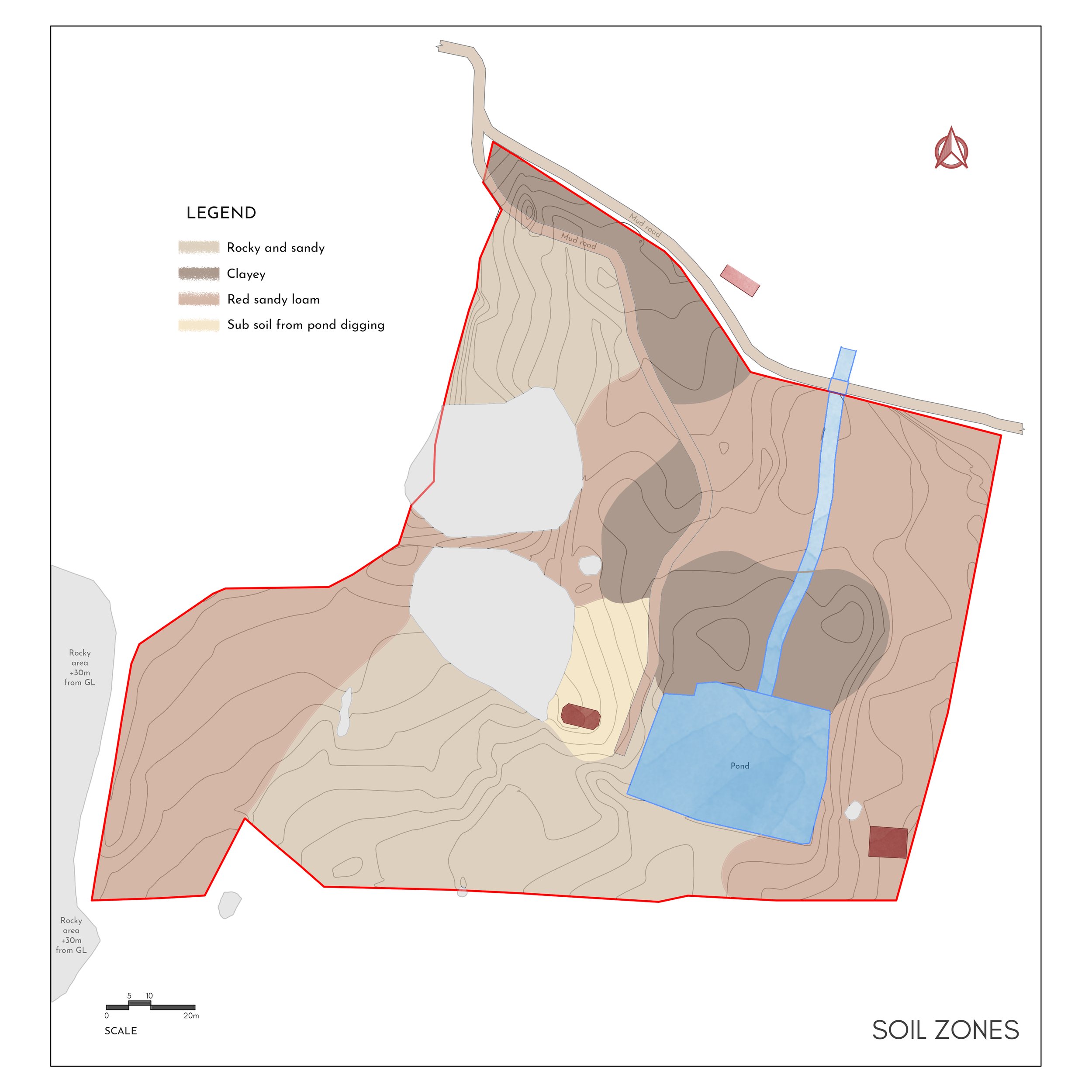
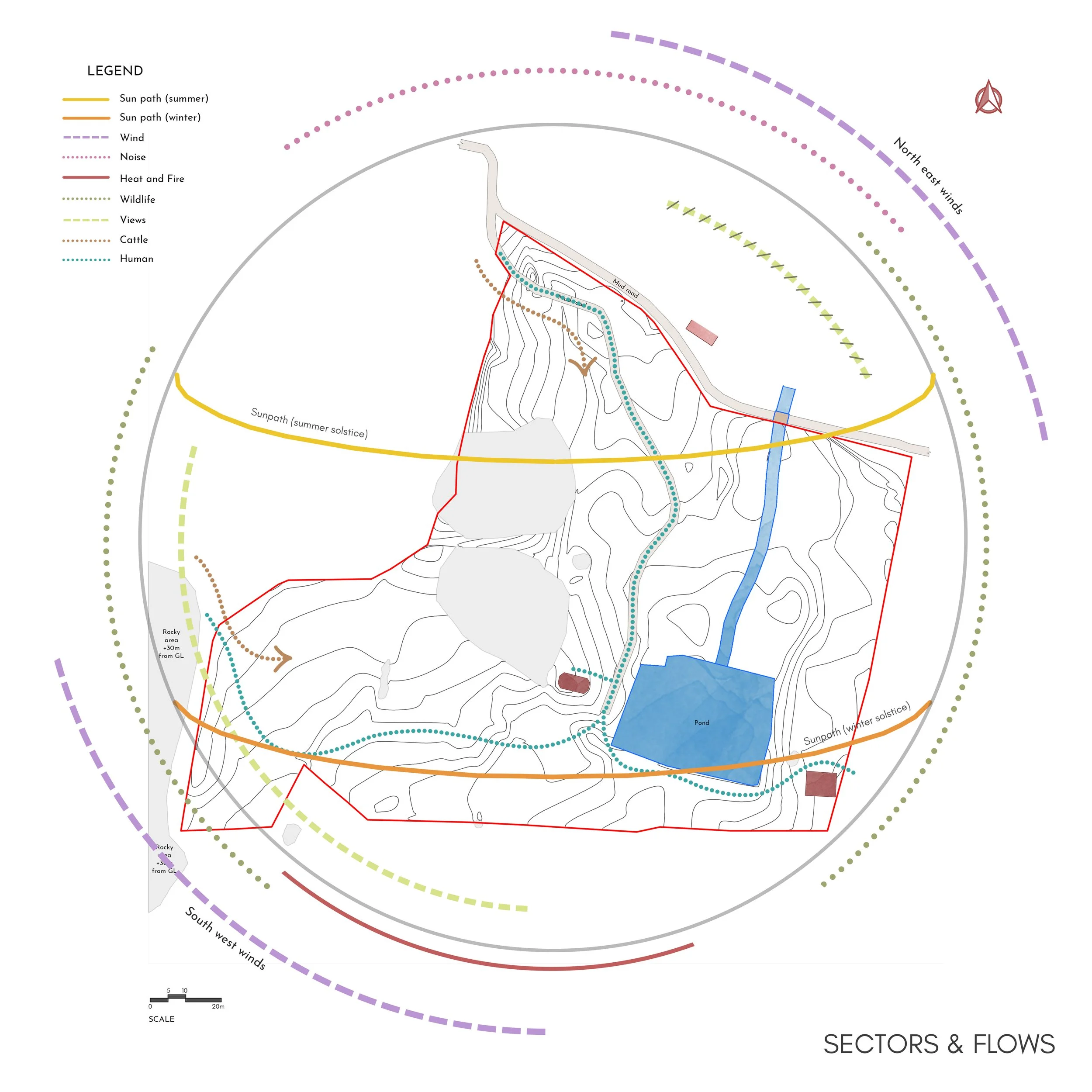
The first phase of this project involved the preparation of a comprehensive masterplan for this 5-acre farm in Shoolagiri, with the intention of guiding its transformation into a self-sustaining homestead. The design process began with a close reading of the site, including an assessment of climate, valley landforms, soil conditions, and the broader ecological context shaped by mining activity and forest degradation in the region. Planting strategies were informed by nearby reference ecosystems, ensuring a focus on resilient, native species and local ecological processes.
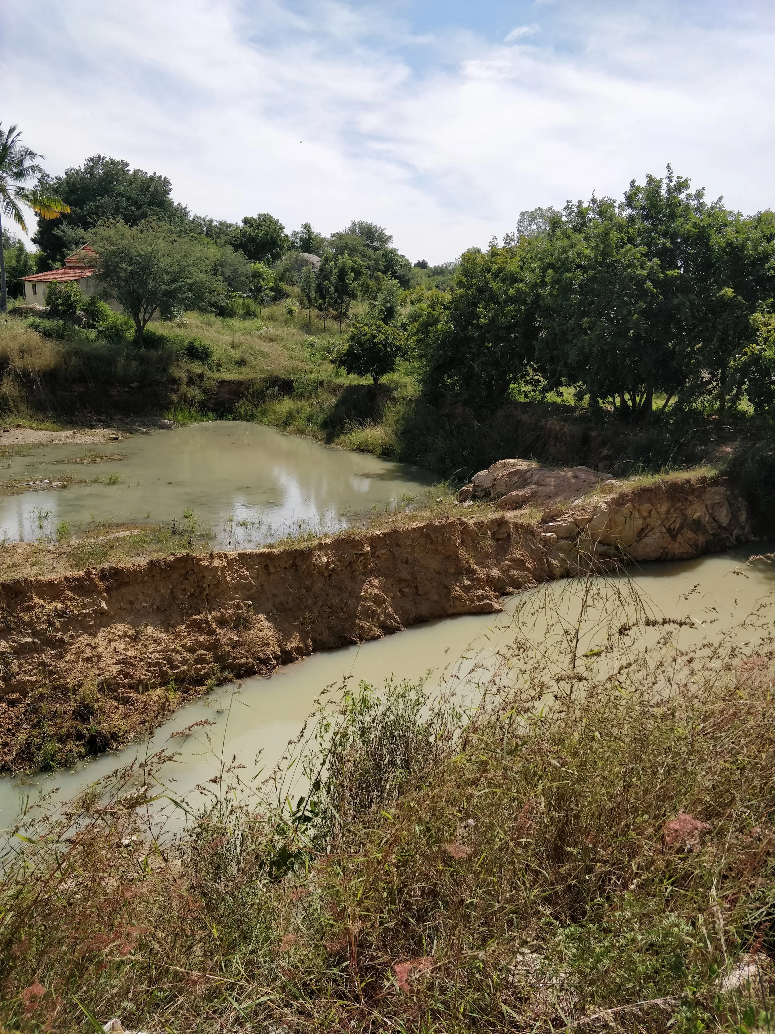
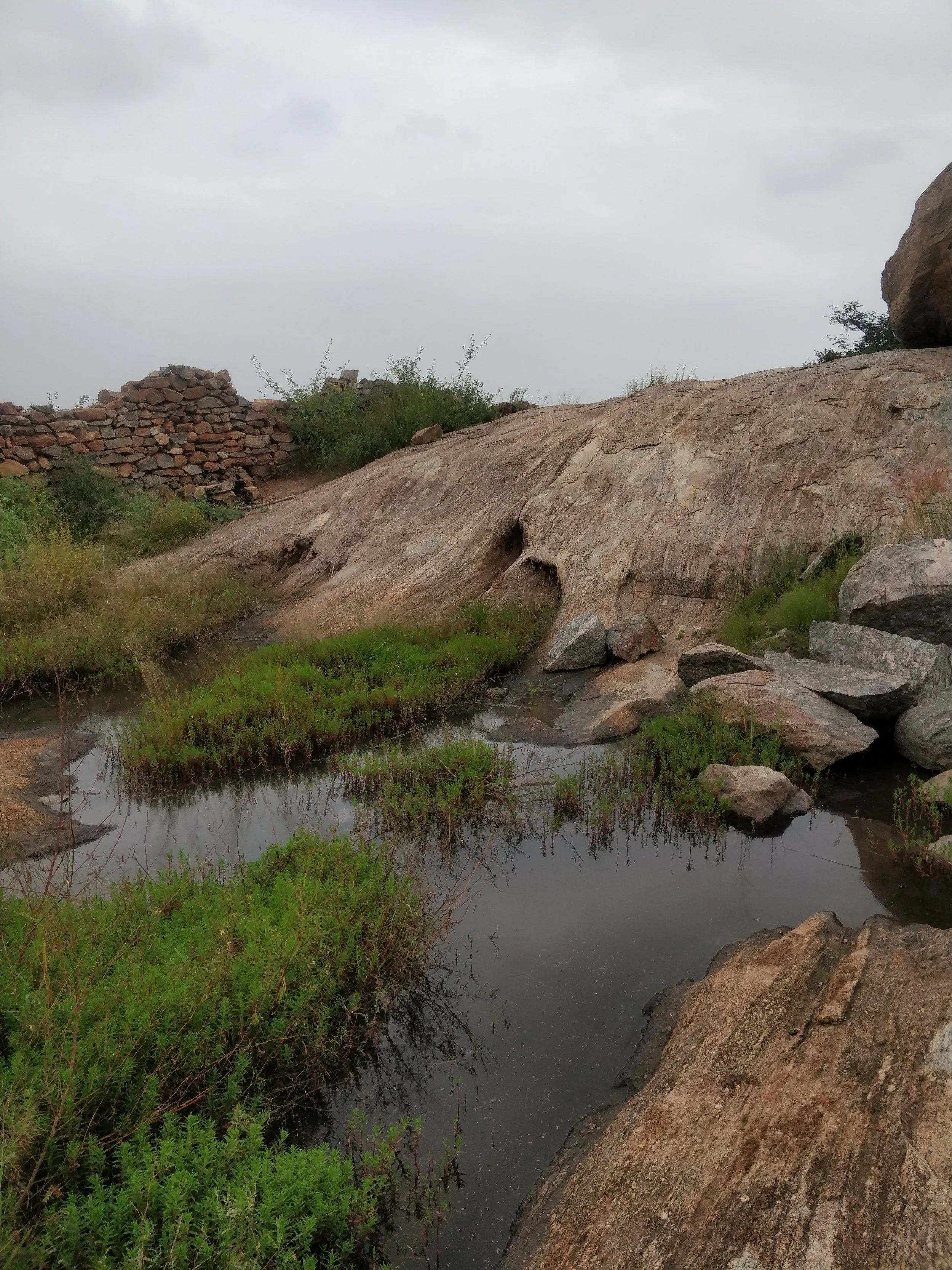
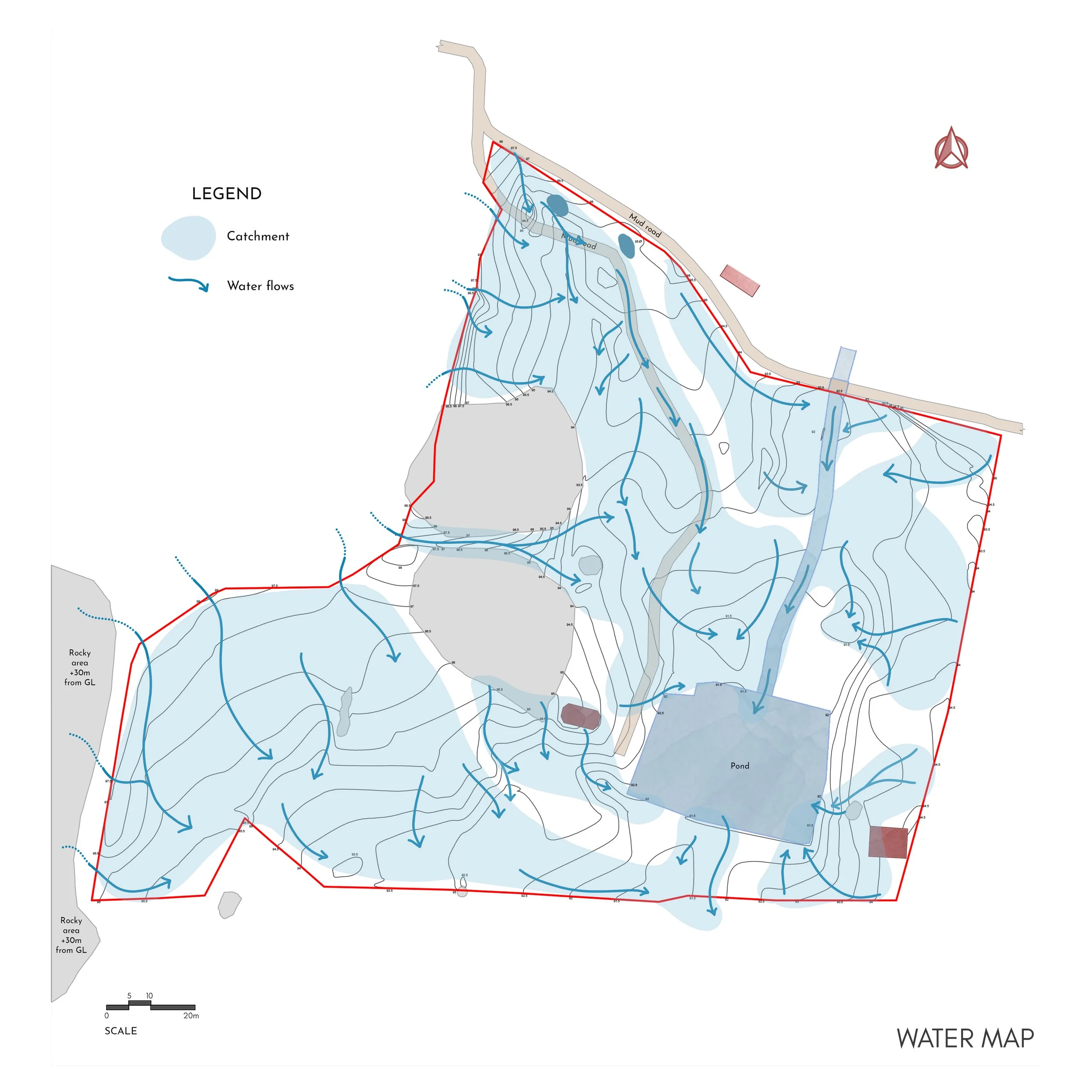
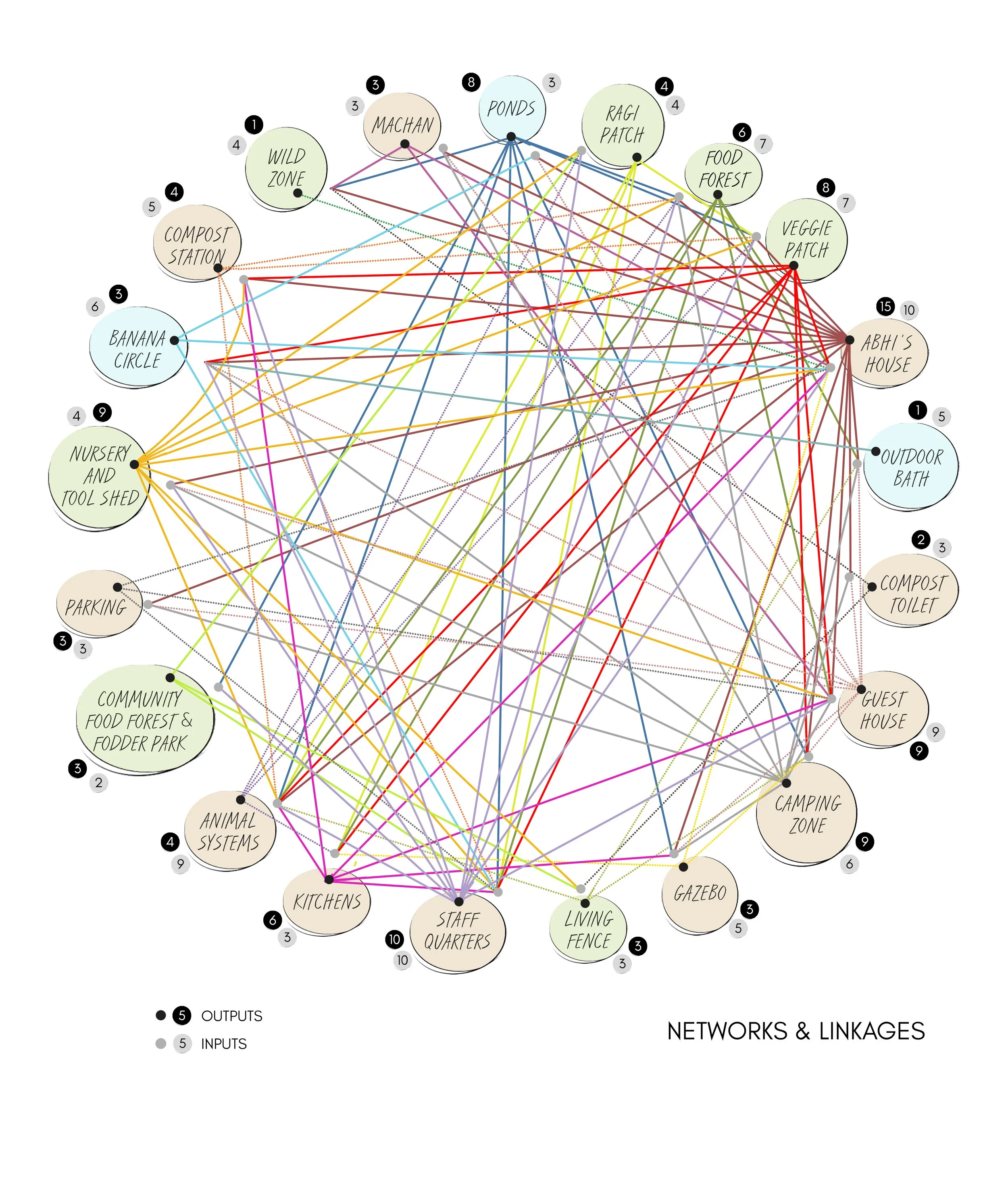
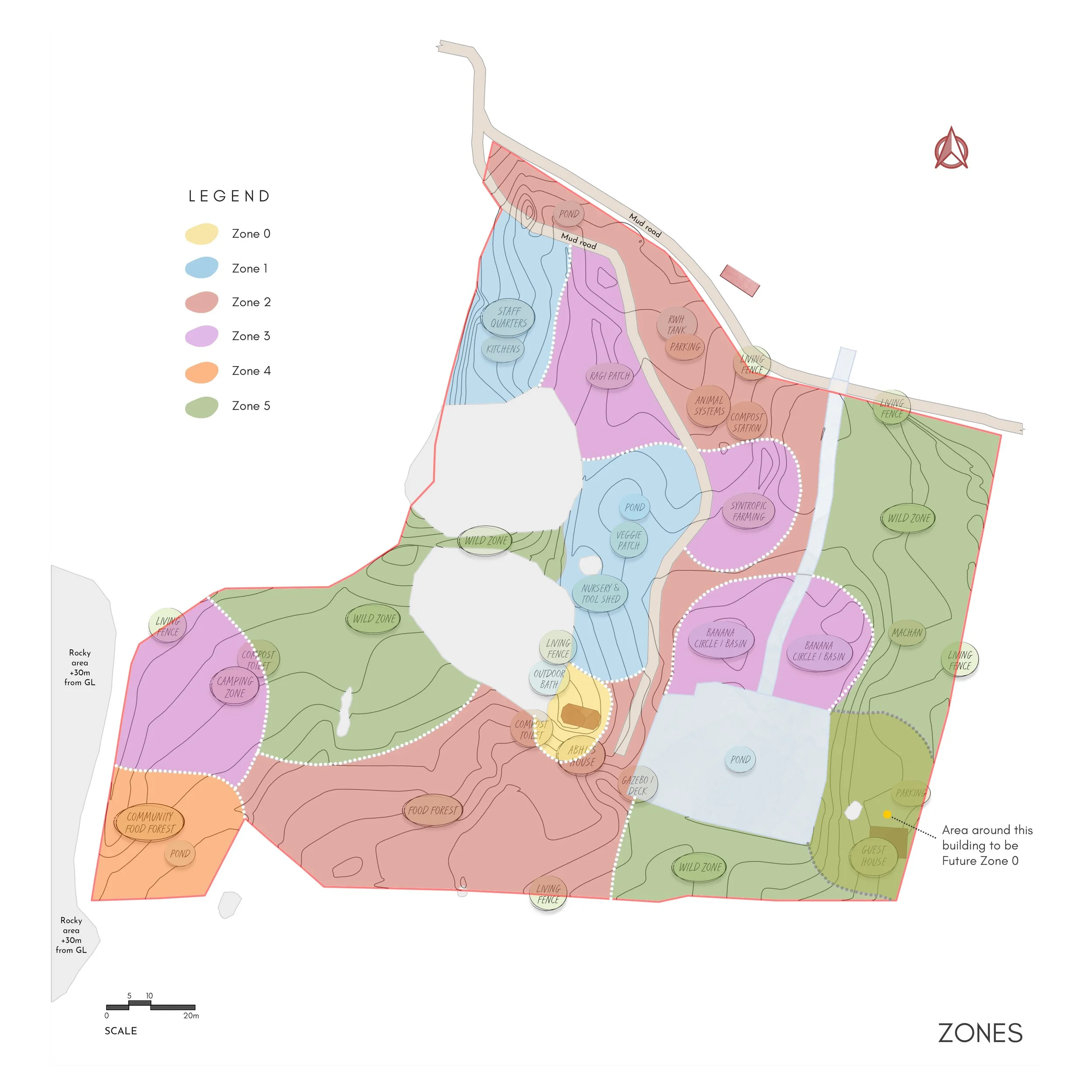
Spatial organisation was guided by a zoning framework, enabling a clear gradation between living spaces, productive areas, and conserved habitats. Water security emerged as a central design driver, resulting in an integrated stormwater management system consisting of ponds, basins, swales, and rooftop rainwater harvesting structures to capture runoff, recharge the shallow aquifer, and support the existing pond.
Dedicated areas were allocated for ragi cultivation, a raised-bed kitchen garden, and two food forests structured around diverse plant guilds, including one intended for use by the local pastoral community. Two wild zones were deliberately retained as ecological buffers, supporting biodiversity and contributing to the long-term resilience of the landscape.
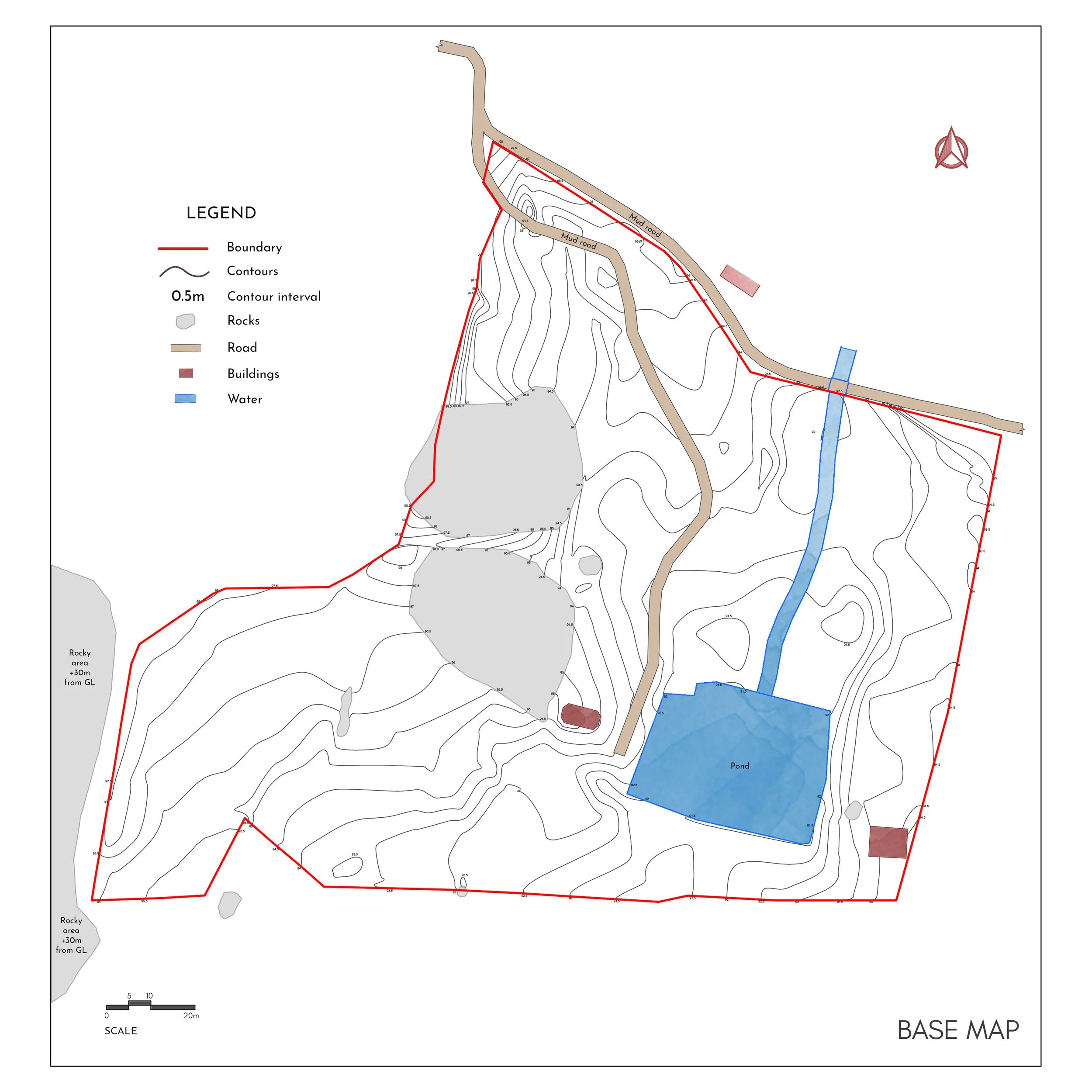
Study maps
Zoning
Phase 2
Following flooding during the 2022 monsoon, a second phase of engagement focused on revisiting the site and revising the masterplan in response to newly revealed hydrological patterns. Areas that functioned as seasonal wetlands were documented, and proposed built elements were shifted away from active drainage lines to reduce future risk. The revised approach allowed storm water to be guided through carefully considered earthworks that responded to the land’s natural flow rather than resisting it.
Existing ponds were redesigned, overflow routes were clearly articulated, and causeways were introduced to ensure continued access during periods of heavy rainfall. The primary access road was detailed with staggered hardscape tracks, enabling water to slow and spread while reducing erosion and sludge accumulation.
Greywater was addressed through low-tech, gravity-led systems such as banana circles and mulched infiltration basins, keeping management simple and site-responsive. The planting strategy was further deepened through increased food forest diversity and the establishment of a dense, two-layered living boundary, strengthening ecological function while adding protection and productivity to the landscape.