Sira Farm
Masterplan for a plotted farm layout
March - August 2023
with Ananas Design
Role: Project lead
Collaborators: Nikhil Rodrigues, Theertha Ravindran, Varun Behroonani
Chinnappanahalli, near Tumkur / Sira, Karnataka, IN
15 acres | 710-715 ASL
Hot semi-arid climate
640 mm annual rainfall | Sandy loam, loamy sand, loam
Dry Deciduous Scrub Forest
The project proposes an integrated masterplan for a 15-acre site, structured to support both community development and long-term ecological regeneration. The core vision is to establish a non-profit vocational training and education centre for women, supported by shared gardens, gathering spaces, and community infrastructure. Financial sustainability is enabled through the development of seven acres as regenerative, self-sustaining plotted farms, all guided by permaculture, whole systems design, and regenerative principles.
The masterplan functions as a conceptual framework shaped by climate, soil, water, and ecological analysis. The site lies in a hot semi-arid climate but with intense monsoon rainfall, requiring earthworks designed to manage up to 100 mm of rain for flood mitigation, passive irrigation, and groundwater recharge. Active rainwater harvesting during the wet season supports the long dry period. The plan seeks to provide alternatives to Arecanut monoculture due to groundwater depletion, instead prioritizing low-density polyculture and syntropic systems. Soils with low organic matter are addressed through intensive soil-building strategies such as heavy mulching and fast-growing biomass species.
Six plots named Bevu, Honge, Parijatha, Sampige, Nerale and Hulisu are connected by main access roads with bioswales. Living fences define the site boundary and internal plot edges, using firebreak, thorny, non-browsable, biomass, windbreak and privacy screen species. A seventh plot, Hakki Kanasu (bird’s dream), is a Wild Zone plot, protected yet accessible. The aim of this plot is to conserve native biodiversity.
Water-driven planting systems organize much of the productive landscape. Fruit tree guilds are planted in basins to capture rainfall, improve infiltration, and recharge the water table.
The school and community centre anchor the social life of the site. The ground floor accommodates a cafeteria, convenience store, library, and storage, while the upper floor houses classrooms, performing arts spaces, and studios. Adjacent areas include a playground, gathering spaces, pollinator and community gardens, orchards, vegetable and herb gardens. A nursery, tool sheds, staff quarters, and multiple parking areas support daily operations.
Dedicated field crop zones are managed by the community to supply the kitchen and provide fodder and biomass. Animal systems, fish ponds, and gravity-fed water pipelines are planned for Phase 2, strengthening closed-loop resource cycles and long-term resilience across the site.
STUDY MAPS
The land, while historically subject to over-use like overgrazing, intensive monoculture, exploitation of groundwater and levelling, still showed signs of flora regeneration and hosted a surprising variety of fauna. More than 50 species of plants (many native) were observed during a single visit, in the dry season. Multiple species of birds, lizards, insects, arthropods and fungi were also found on the land. While the neighbouring parcels of land looked green due to intensive irrigation, this piece of land, being unmanaged for some years, harboured much more biodiversity. As a first step, a living fence plan was recommended, to manage degradation factors such as overgrazing and human-made fire.
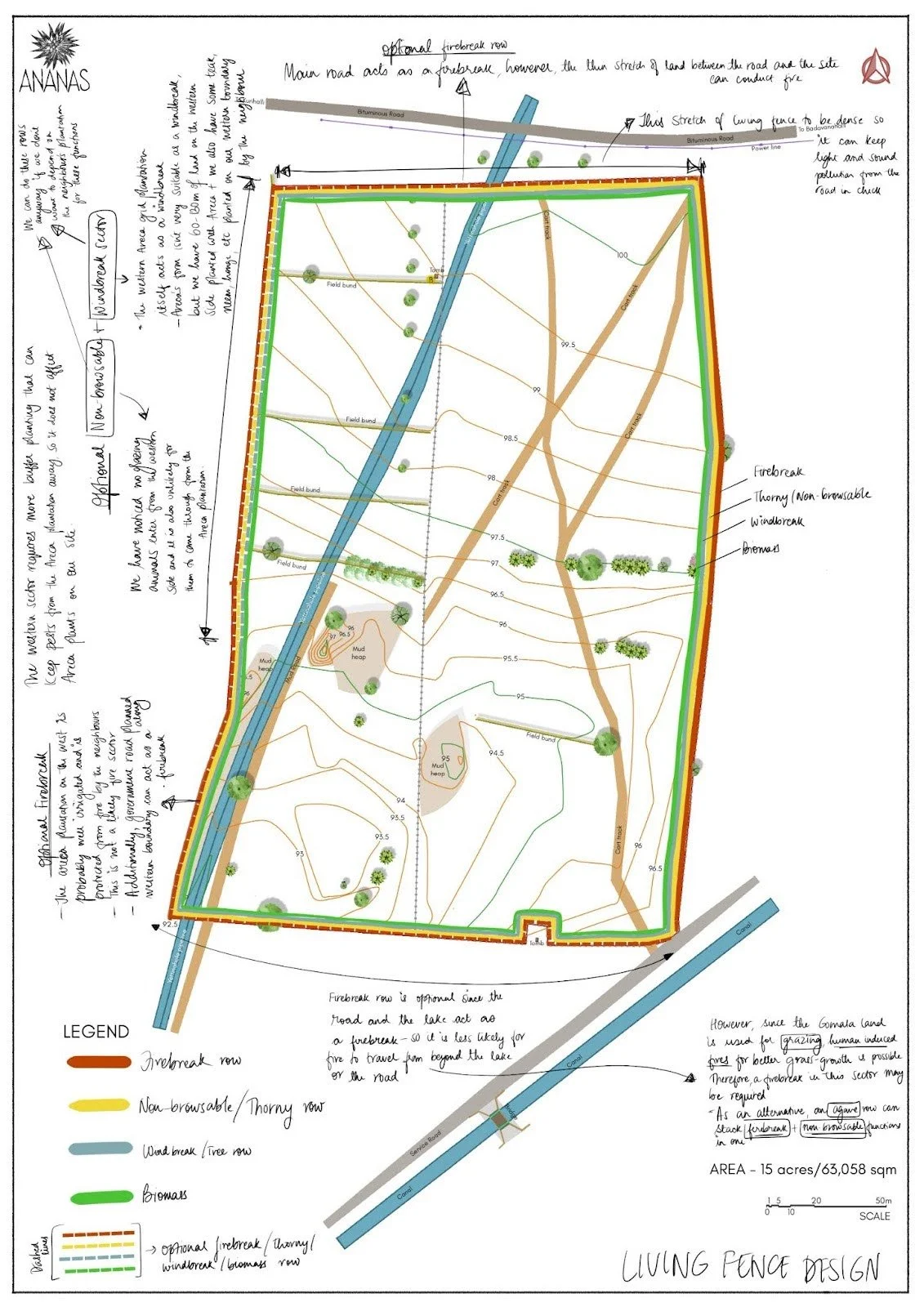
Living fence schematic by Varun Behroonani
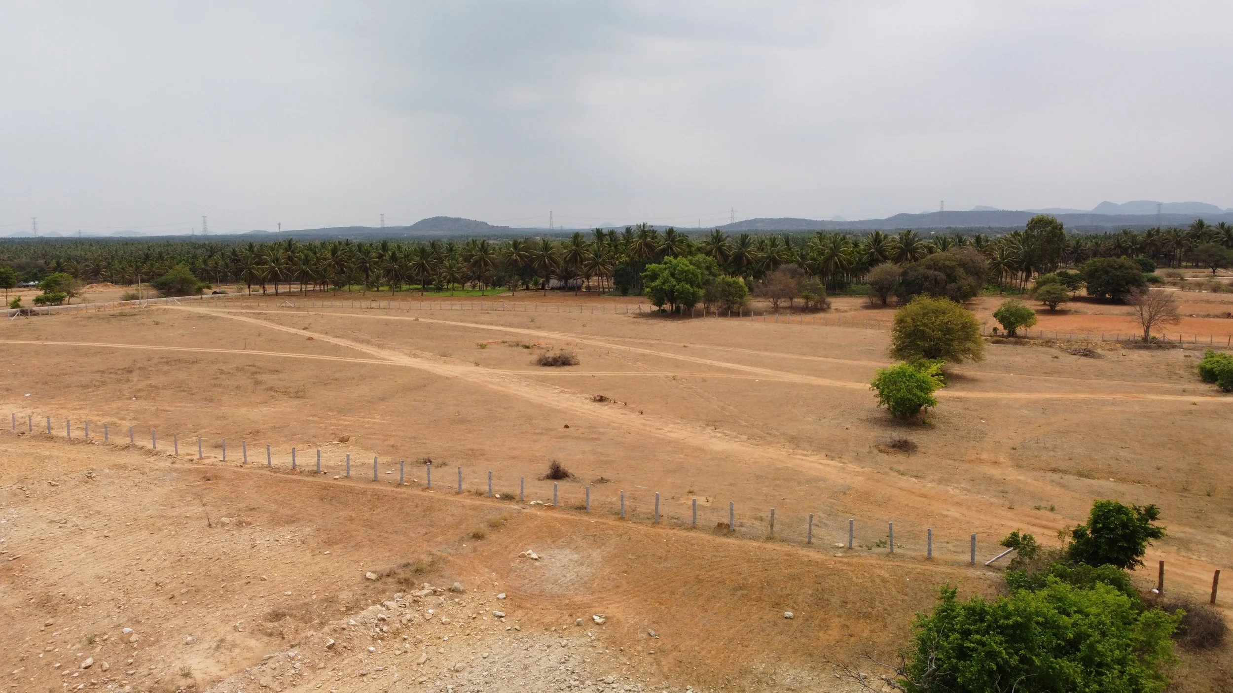
View of site (overgrazed, barren and degraded with some trees) [drone shots by Nikhil Rodrigues]
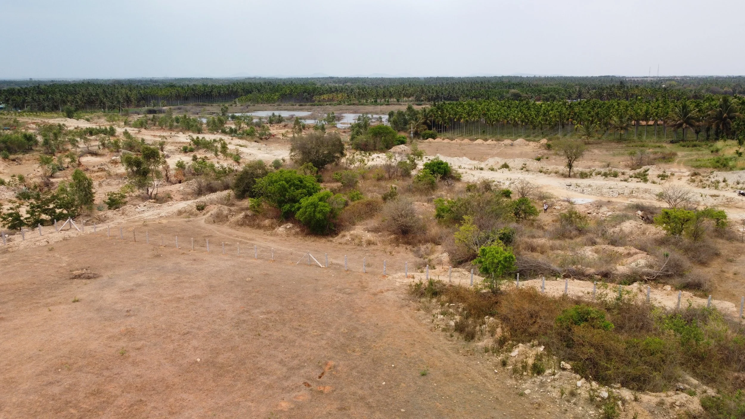
View of gomala land on site, with subsoil dumped, but with some native trees and shrubs [drone shots by Nikhil Rodrigues]
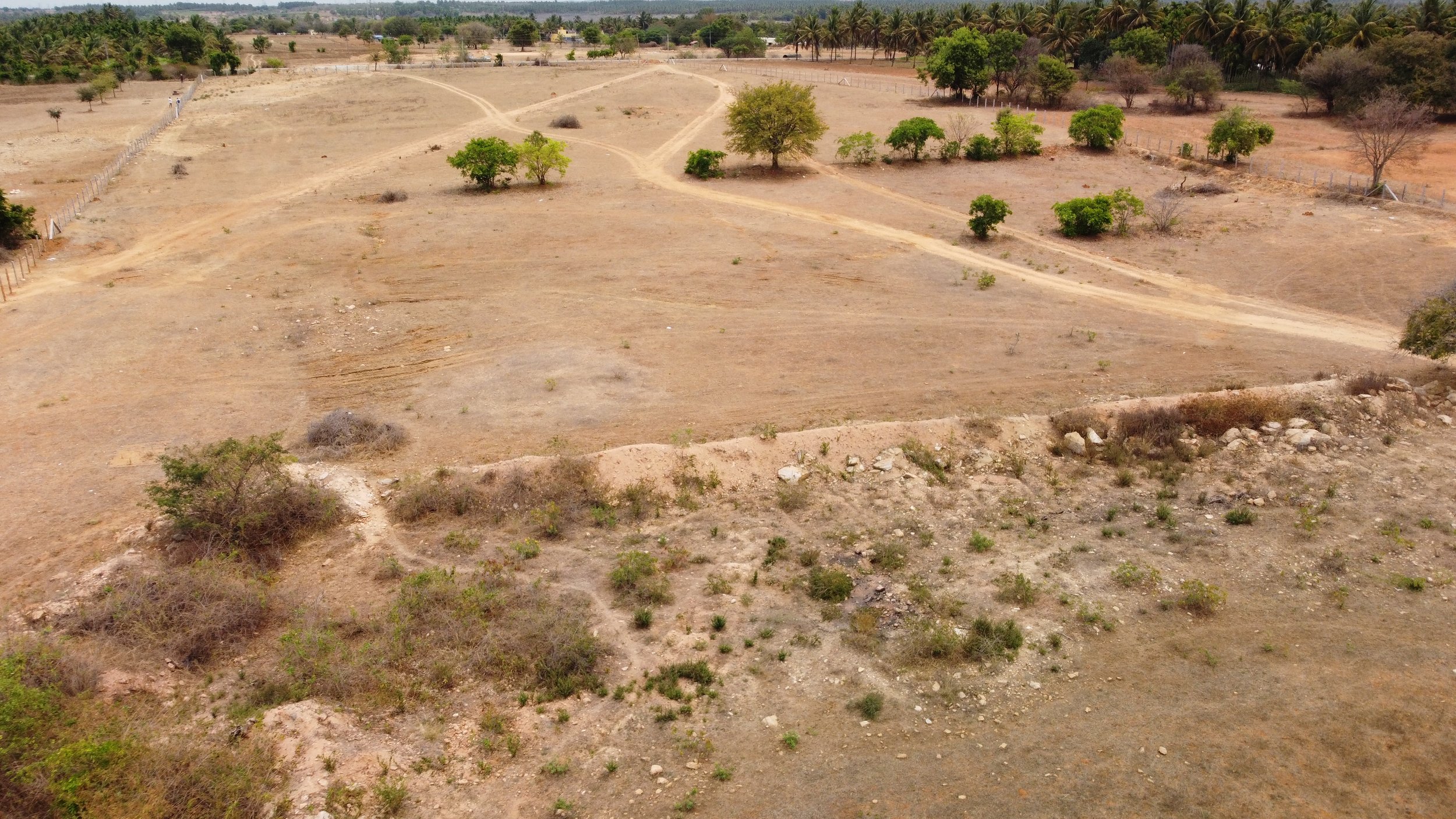
View of site from the south, showing bunds with lines of trees [drone shots by Nikhil Rodrigues]
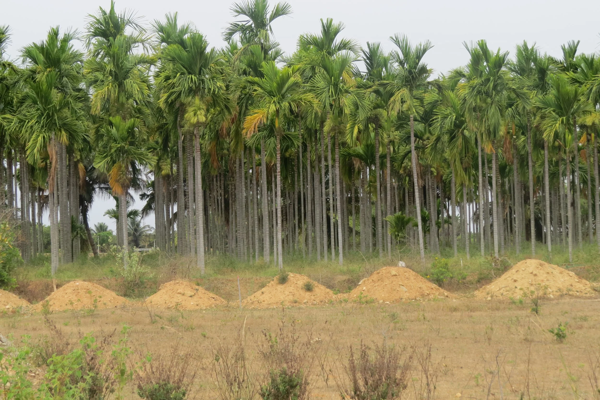
Neighbouring farms with water-intensive Areca monoculture
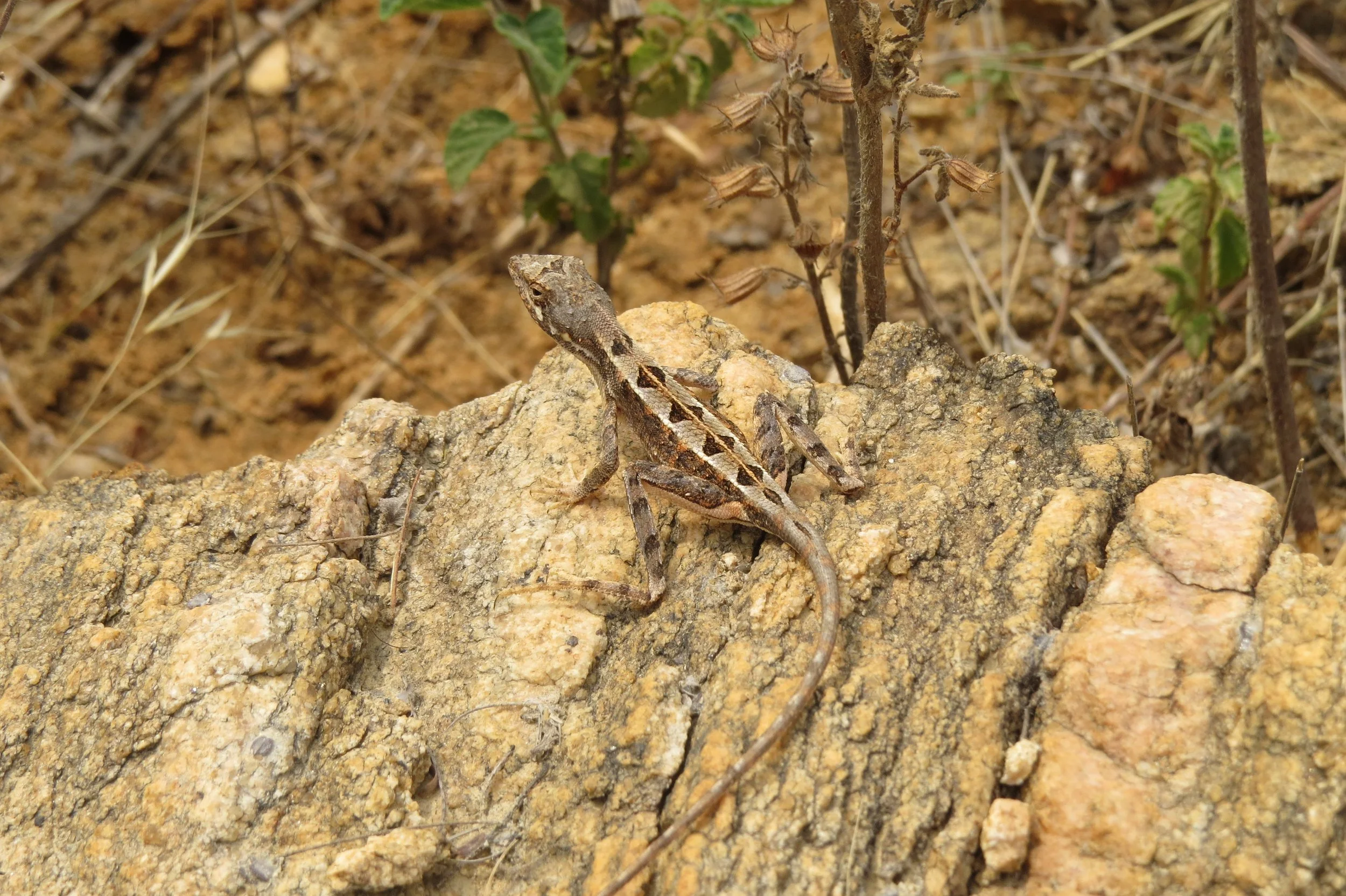
Sitana sp. (fan-throated lizard)
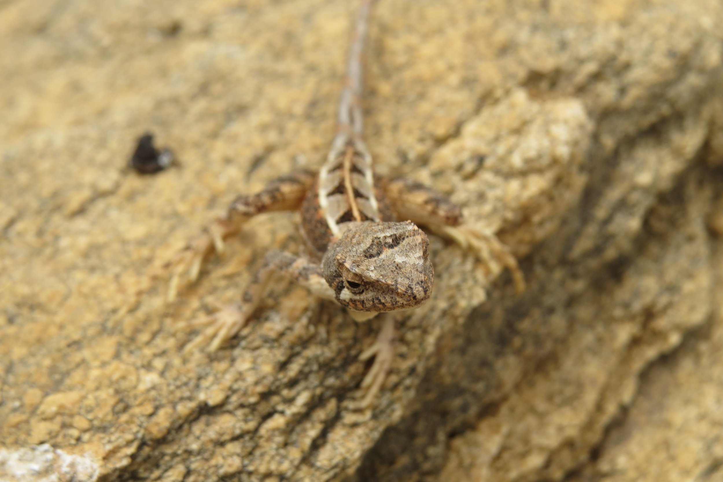
Sitana sp. (fan-throated lizard)
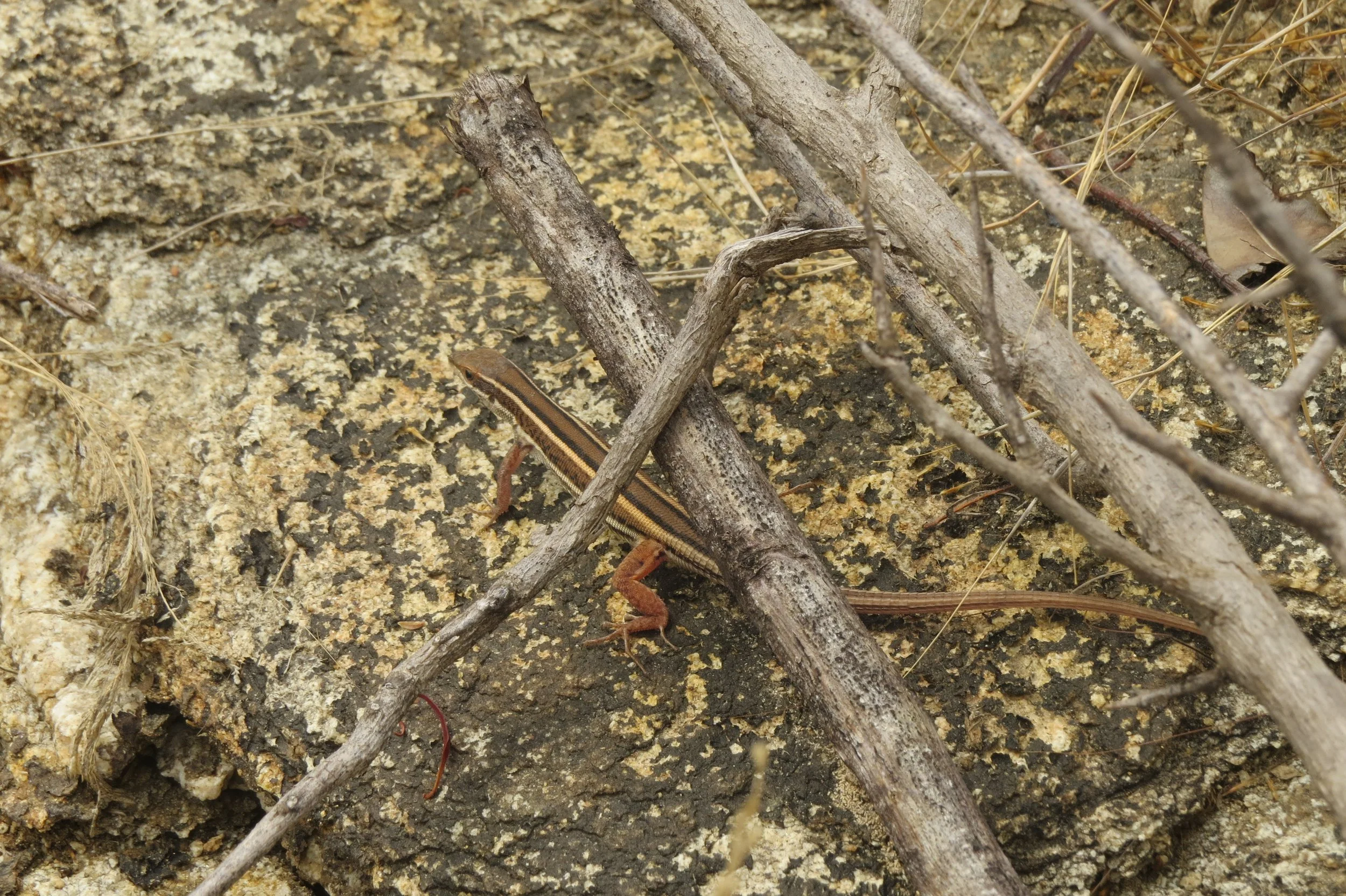
Skink
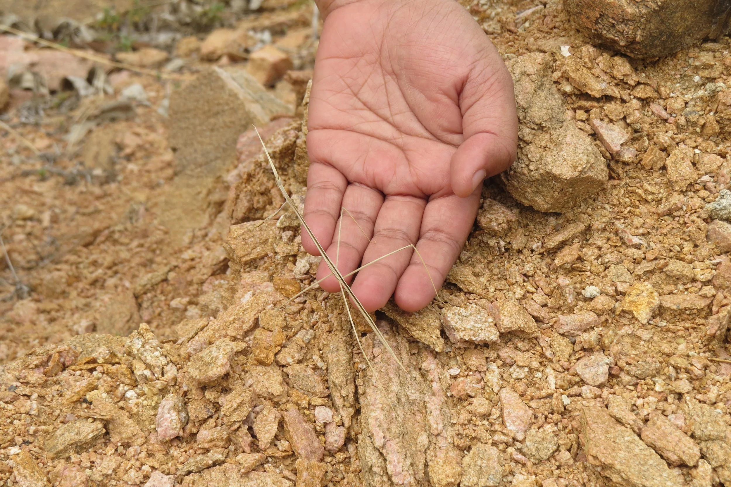
Stick insect
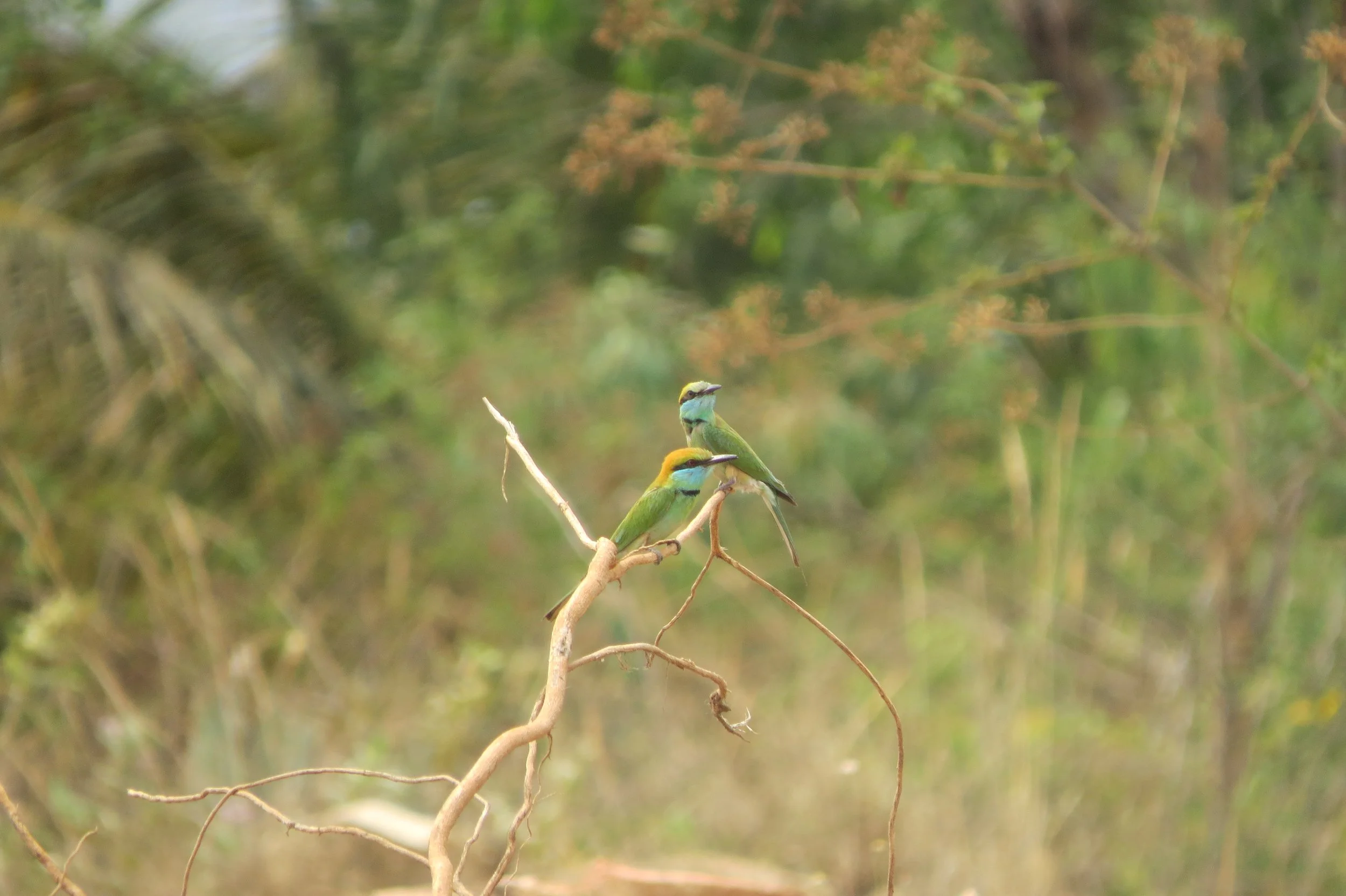
Green bee-eaters
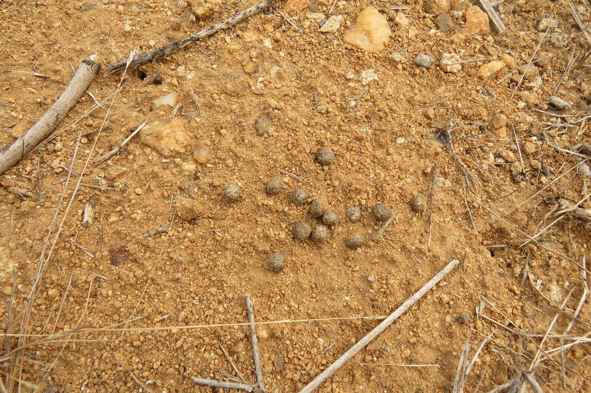
Black-naped hare scat
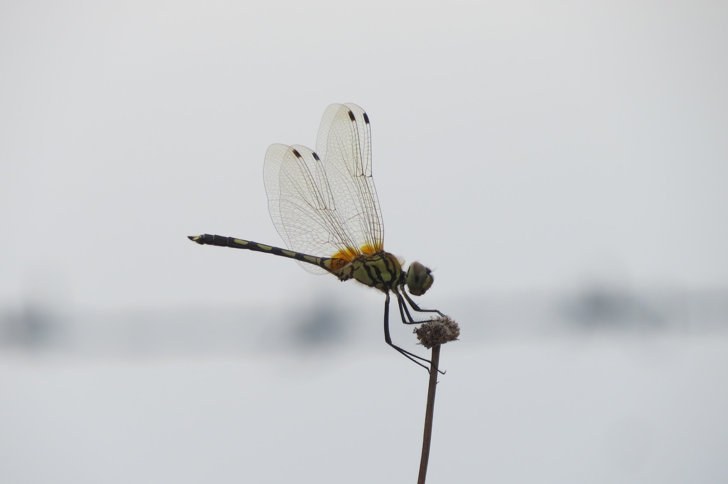
Wandering glider (near water body SW of site)
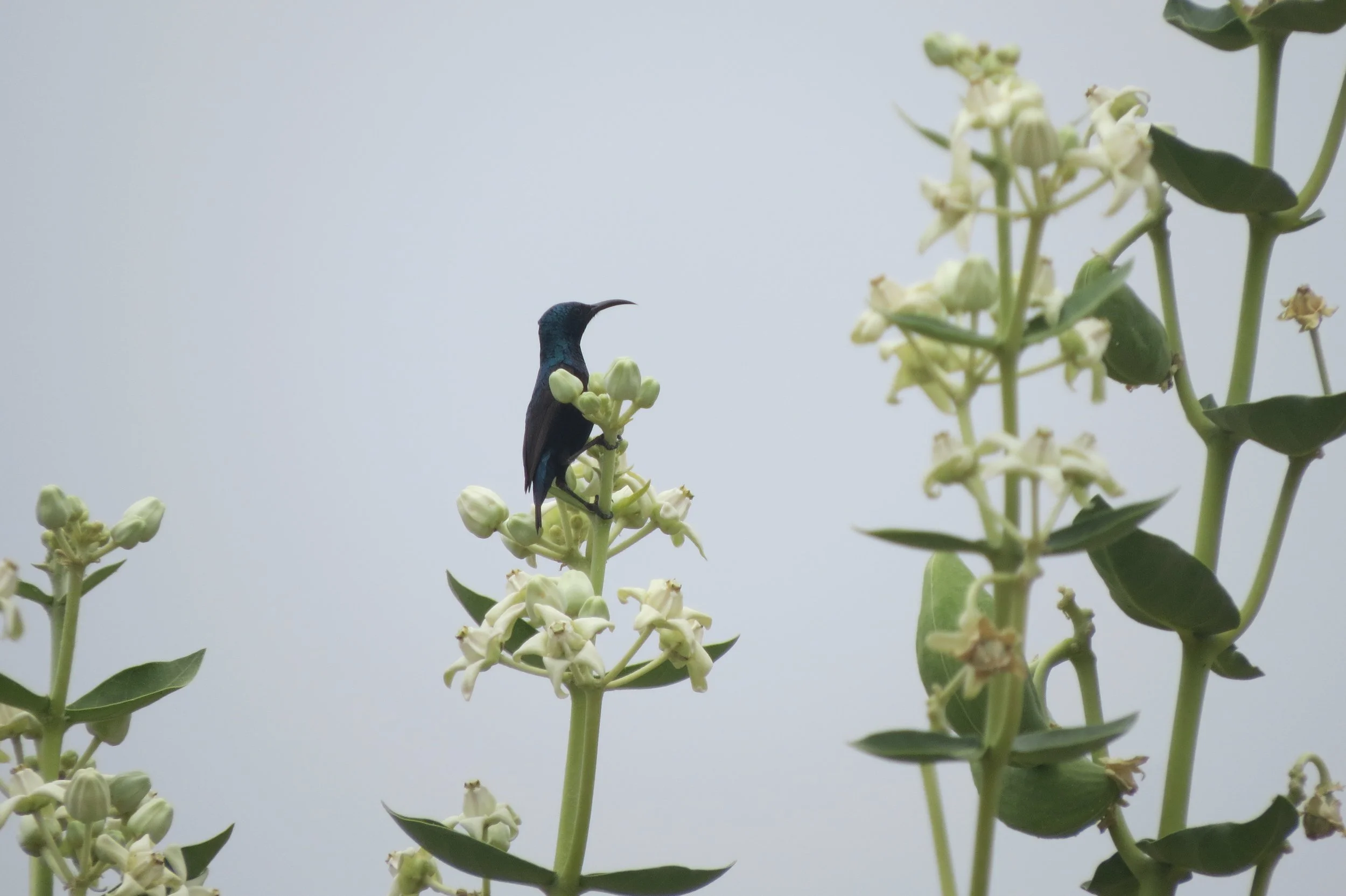
Purple sunbird on Calotropis (milkweed)