Swapnabhoomi
Ecological landscape design for resilience
June - August 2022
with Ananas Design
Role: Project lead and primary designer
Collaborators: Jananee Mohan, Nikhil Rodrigues
Ravines of the River Mahi, Baroda, Gujarat, IN
4.7 acres | 25m ASL
Hot semi-arid + tropical savanna climate
832 mm annual rainfall | Sandy loam
Tropical riverine and mixed deciduous forest bioregion
Masterplan
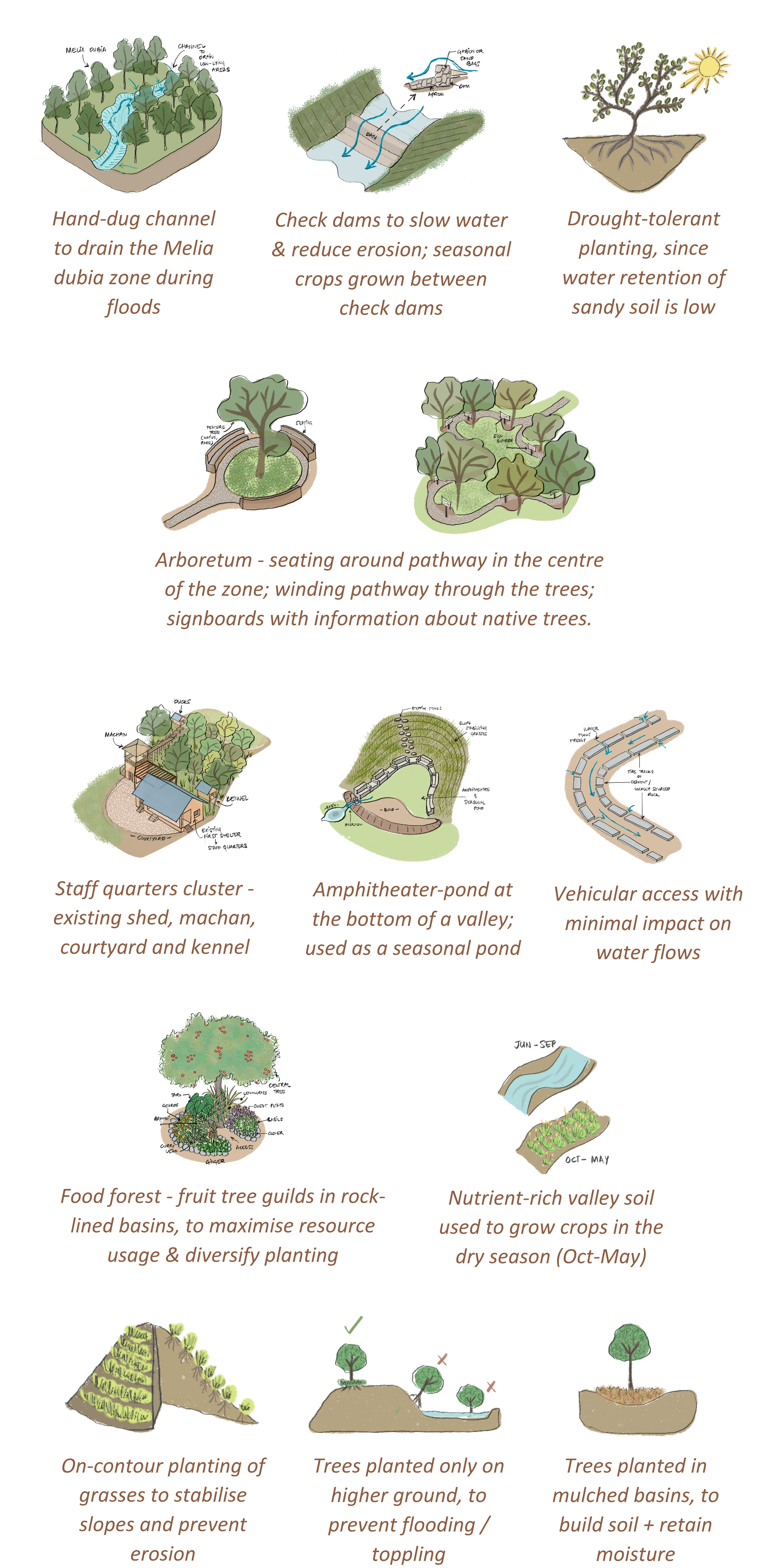
Design strategies
The design aimed to transform the land into a resilient, regenerative farm, with food forests, crops, wild patches, water bodies, a weekend home and an Airbnb.
Objectives included soil restoration, slope stabilisation and improved access. The site presented unique challenges due to its location in a network of steep, narrow ravines: seasonal inundation, sandy soil prone to erosion, loss of topsoil and lack of native vegetation
Key strategies included gentle, hand-executed earthworks, focused on the valleys rather than slopes; flood management measures to slow down stormwater without trapping it; erosion control with short retaining walls; slope stabilization through native grasses and bamboo. Native biodiversity was enhanced through an arboretum. Orchards and built spaces were strategically placed on higher ground.
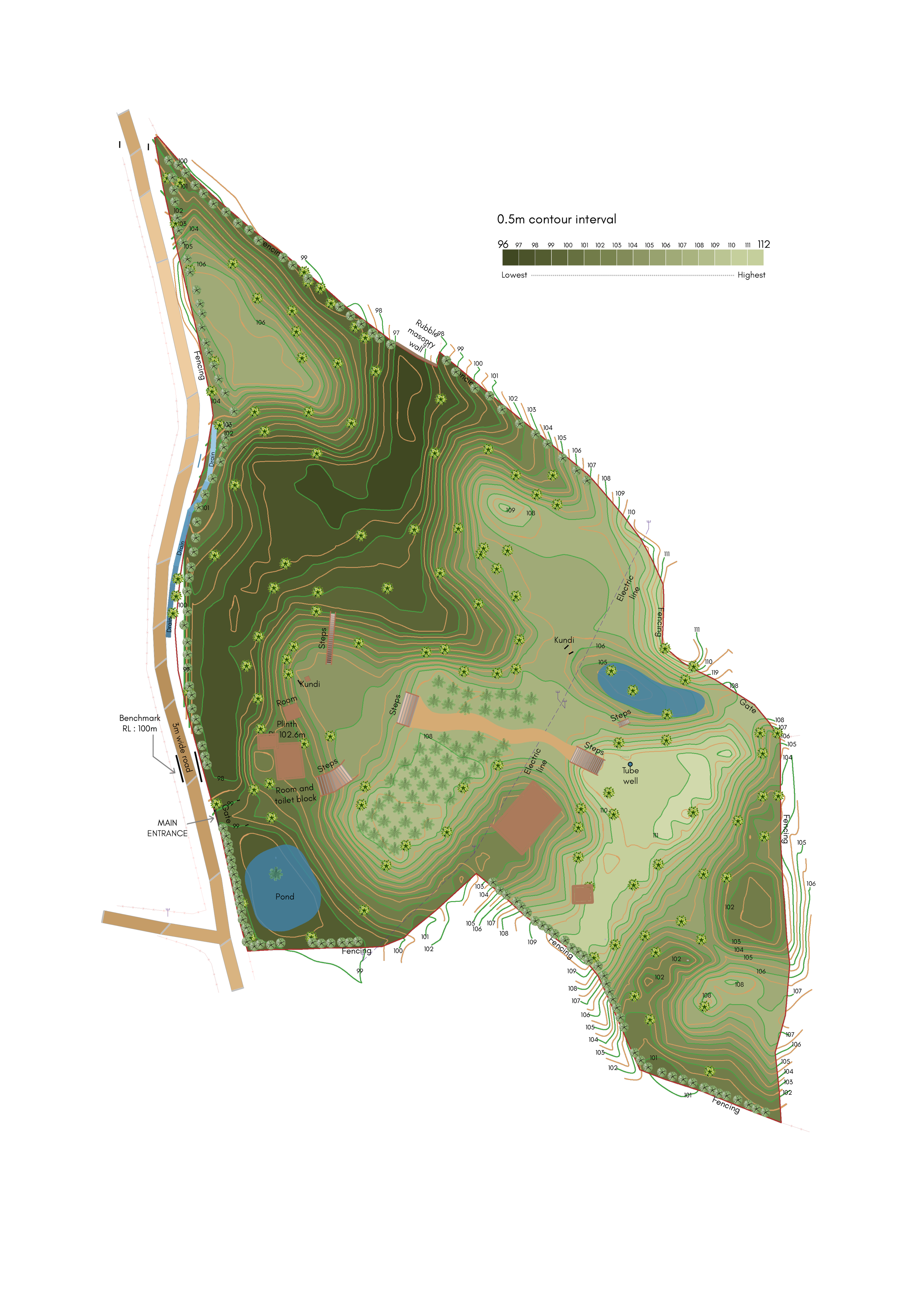
Elevation Study
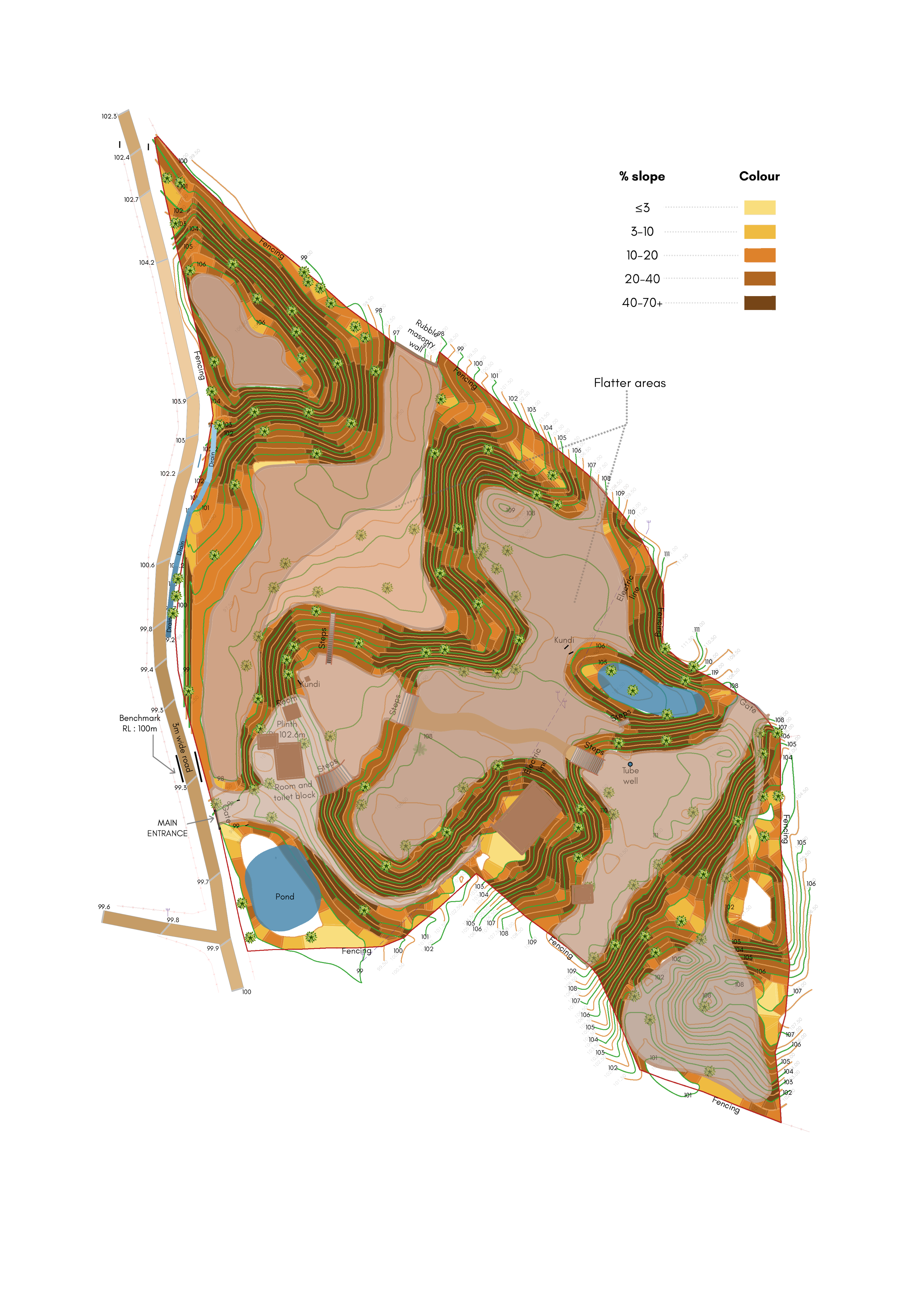
Slope Analysis
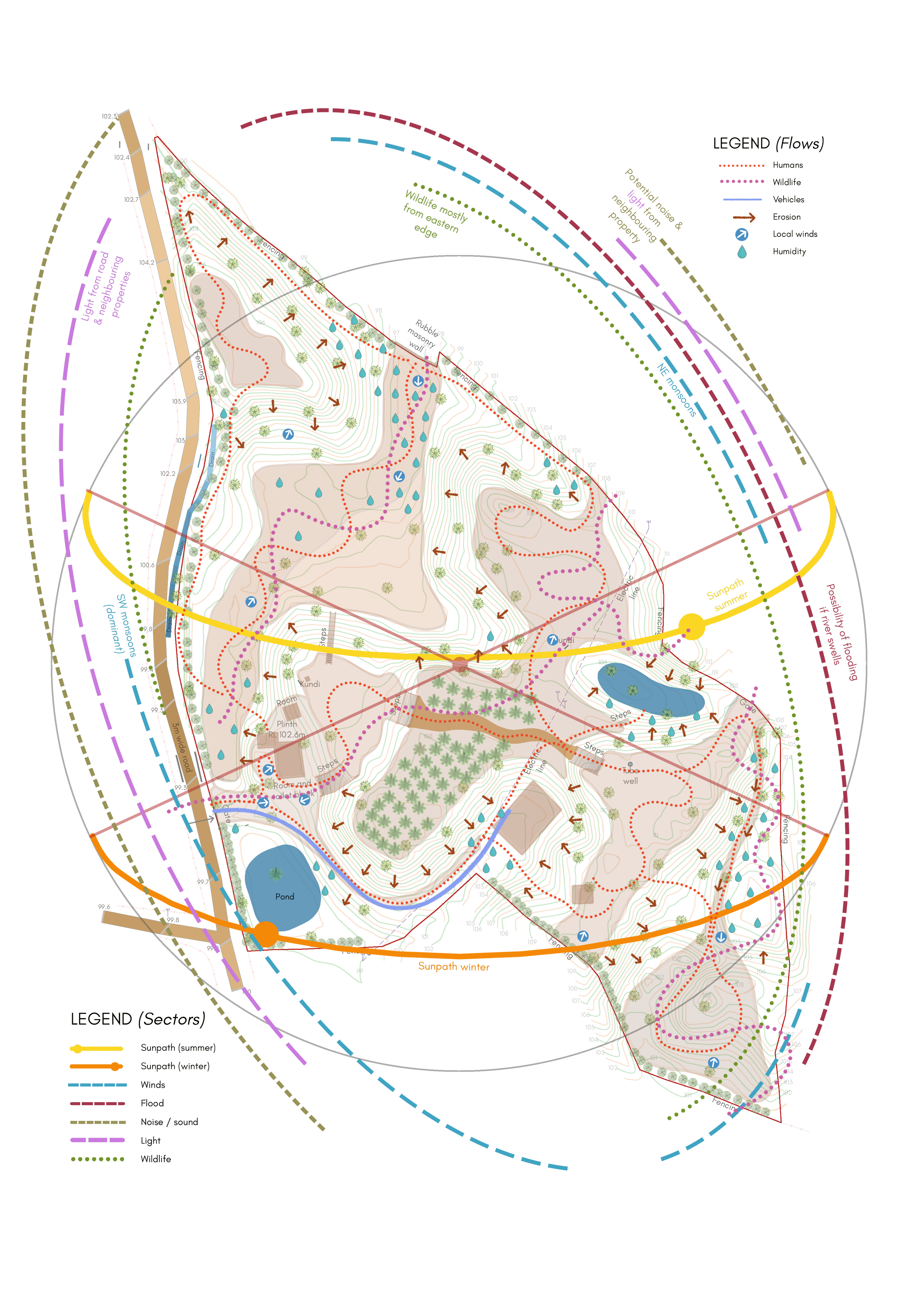
Sectors & Flows
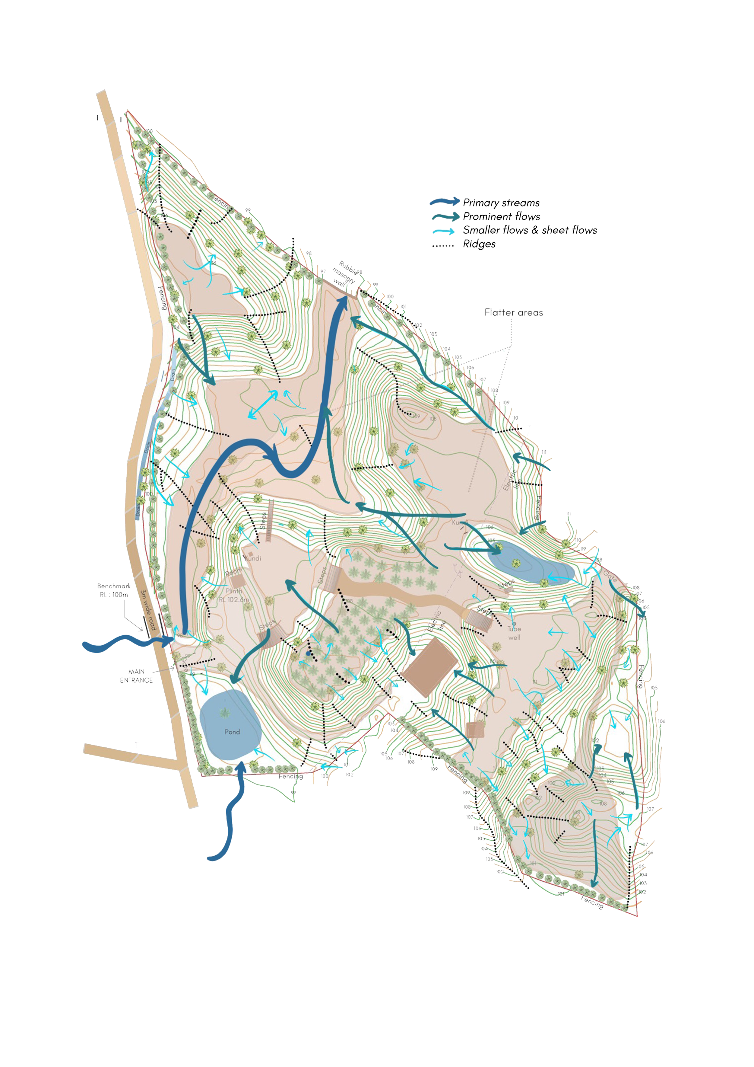
Water flows and drainages
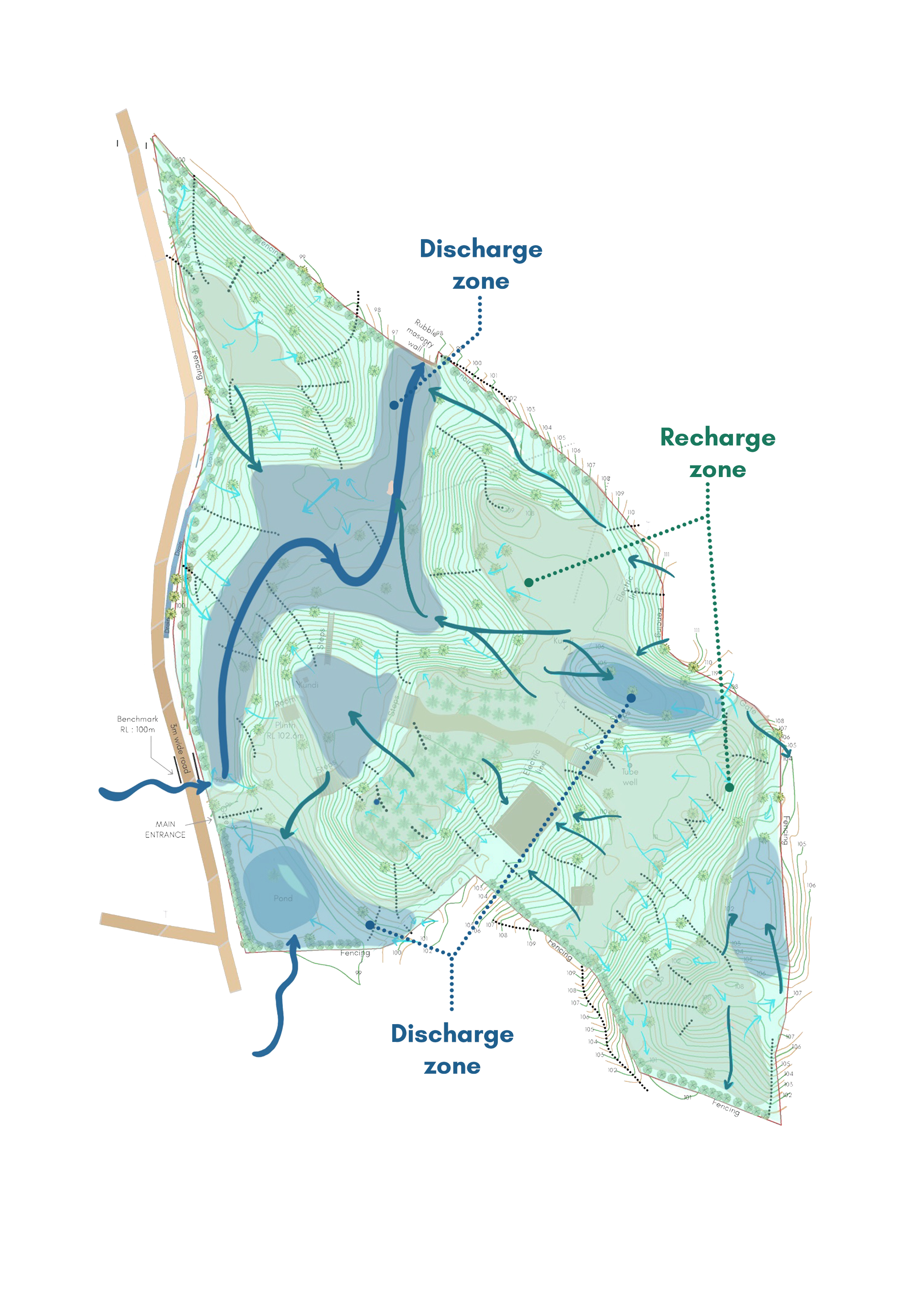
Groundwater zones
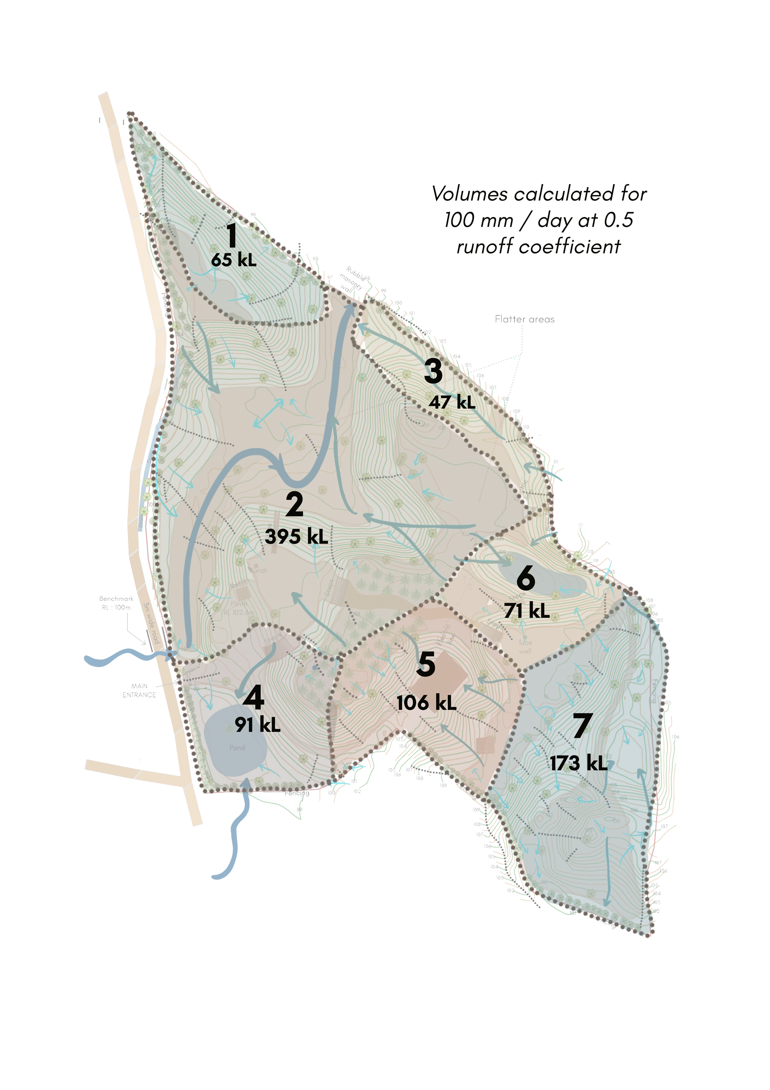
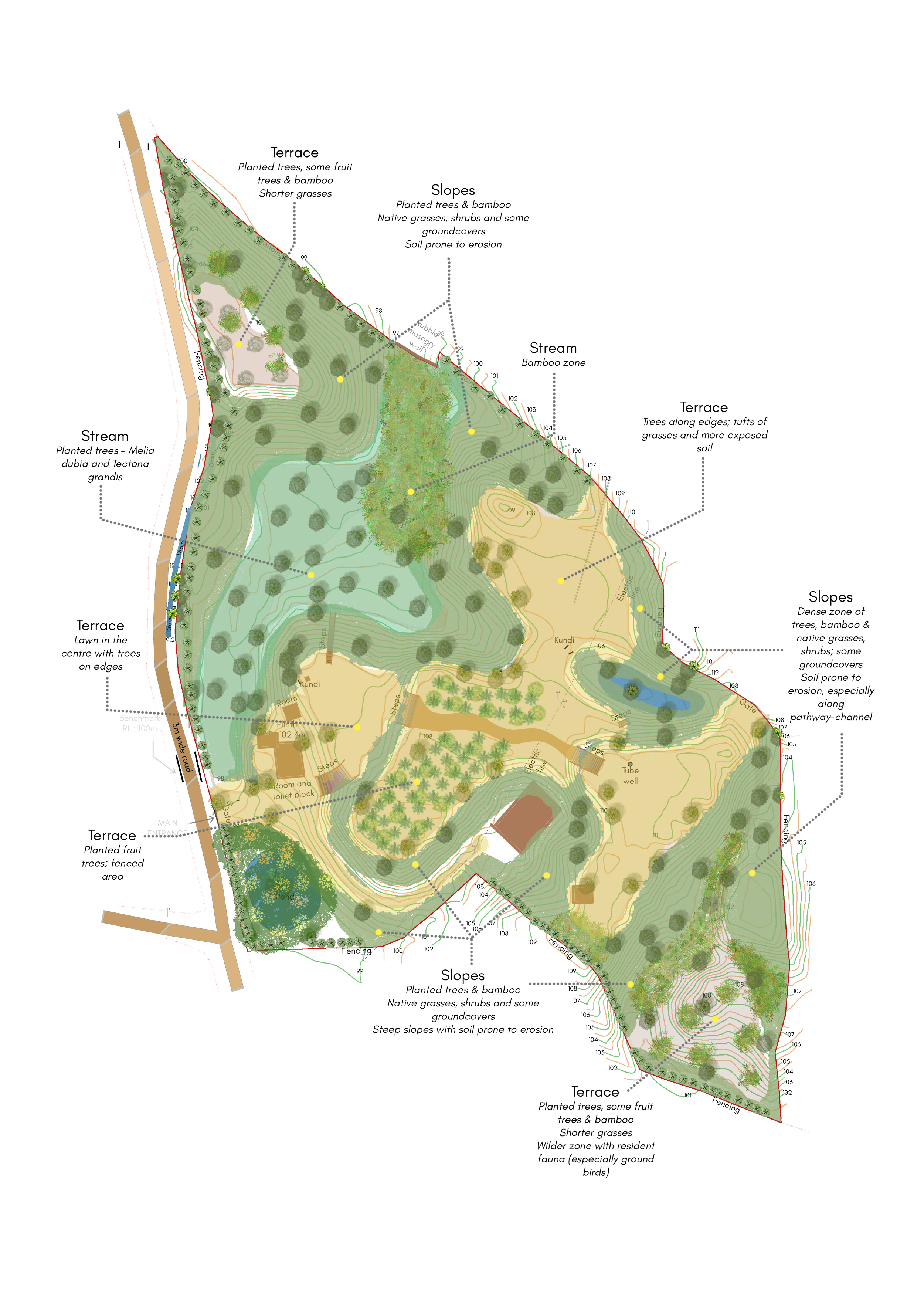
Runoff volumes
Vegetation Study
A thorough site analysis was conducted, considering climate, slope, topography, soil, wind, wildlife movement and context. Existing contour maps were verified on site to identify key water flows, drainage patterns and groundwater zones. Photo-documentation, surveys, interviews and in-situ assessments recorded site information, supported analysis and provided a visual record that informed subsequent design and planning. This enabled an understanding of the site’s unique hydrological characteristics and the development of strategies for enhancing water resilience.
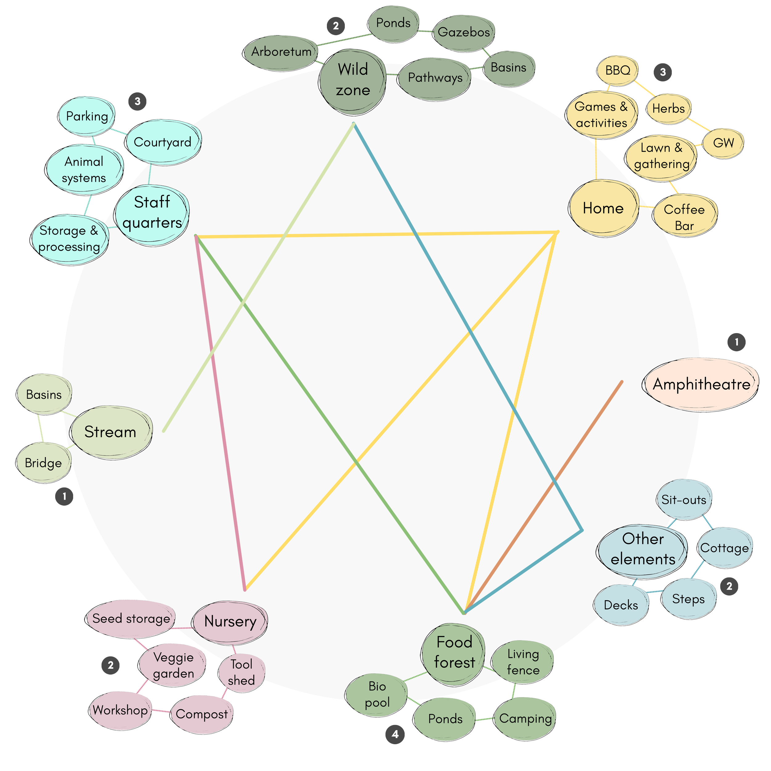
Input-output analysis for design elements
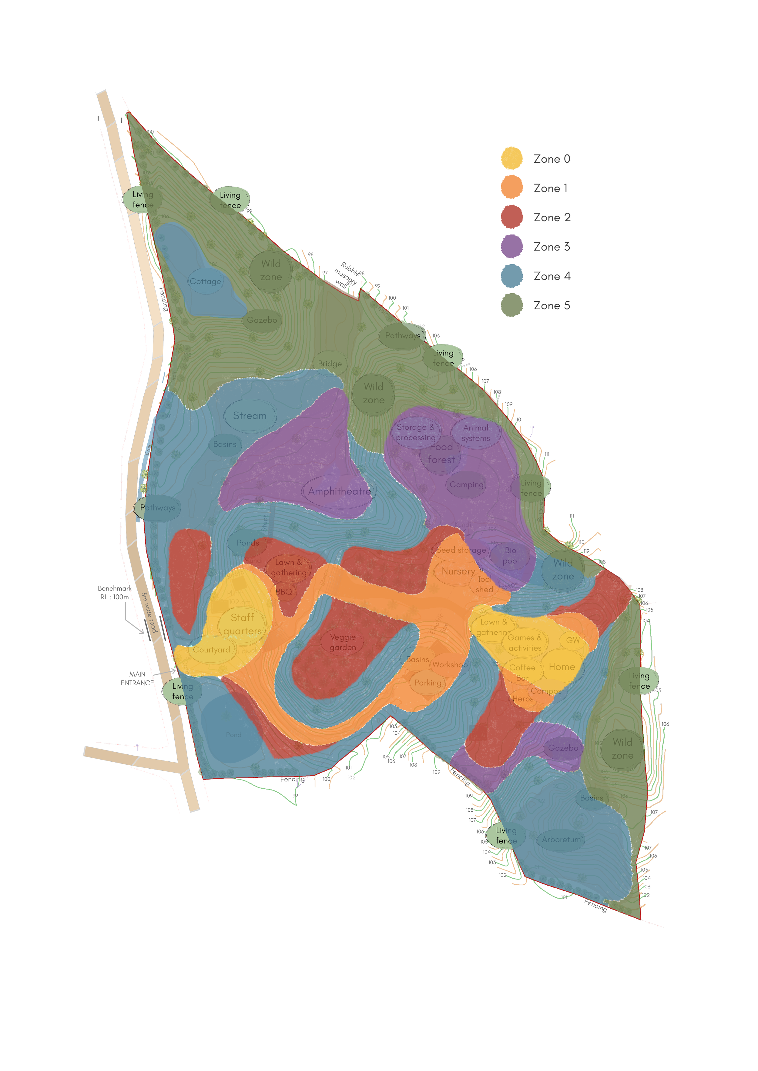
Zoning
The inputs and outputs (resources, energy, food and ecological services) of each system element were mapped. Connections between elements were established through grouping,, stacking functions and diversification. Based on this analysis and the site assessment maps, elements were organised into six zones, from high-activity, high-maintenance human areas (Zone 0) to wild zones for native biodiversity (Zone 5).
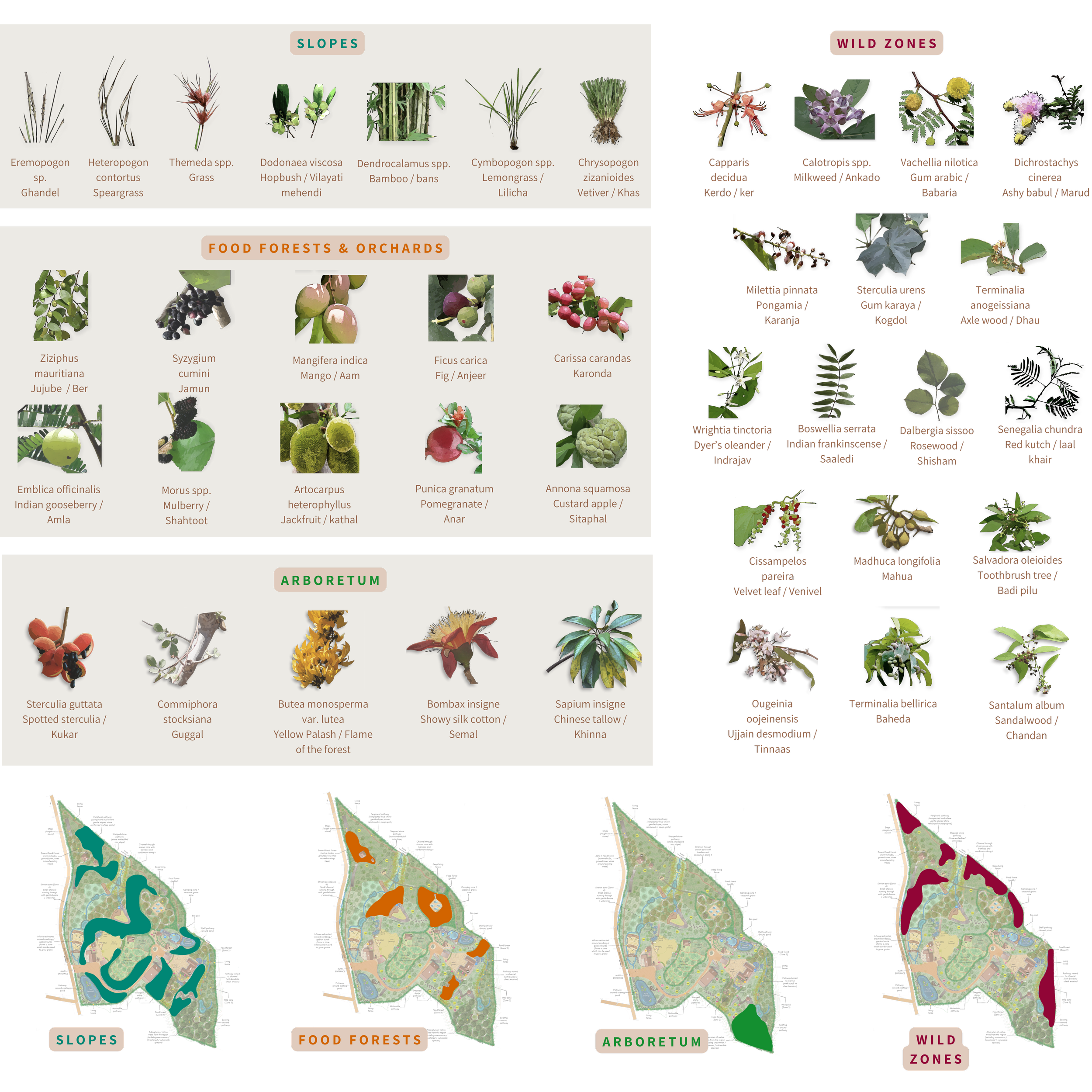
Species selection by vegetation zone
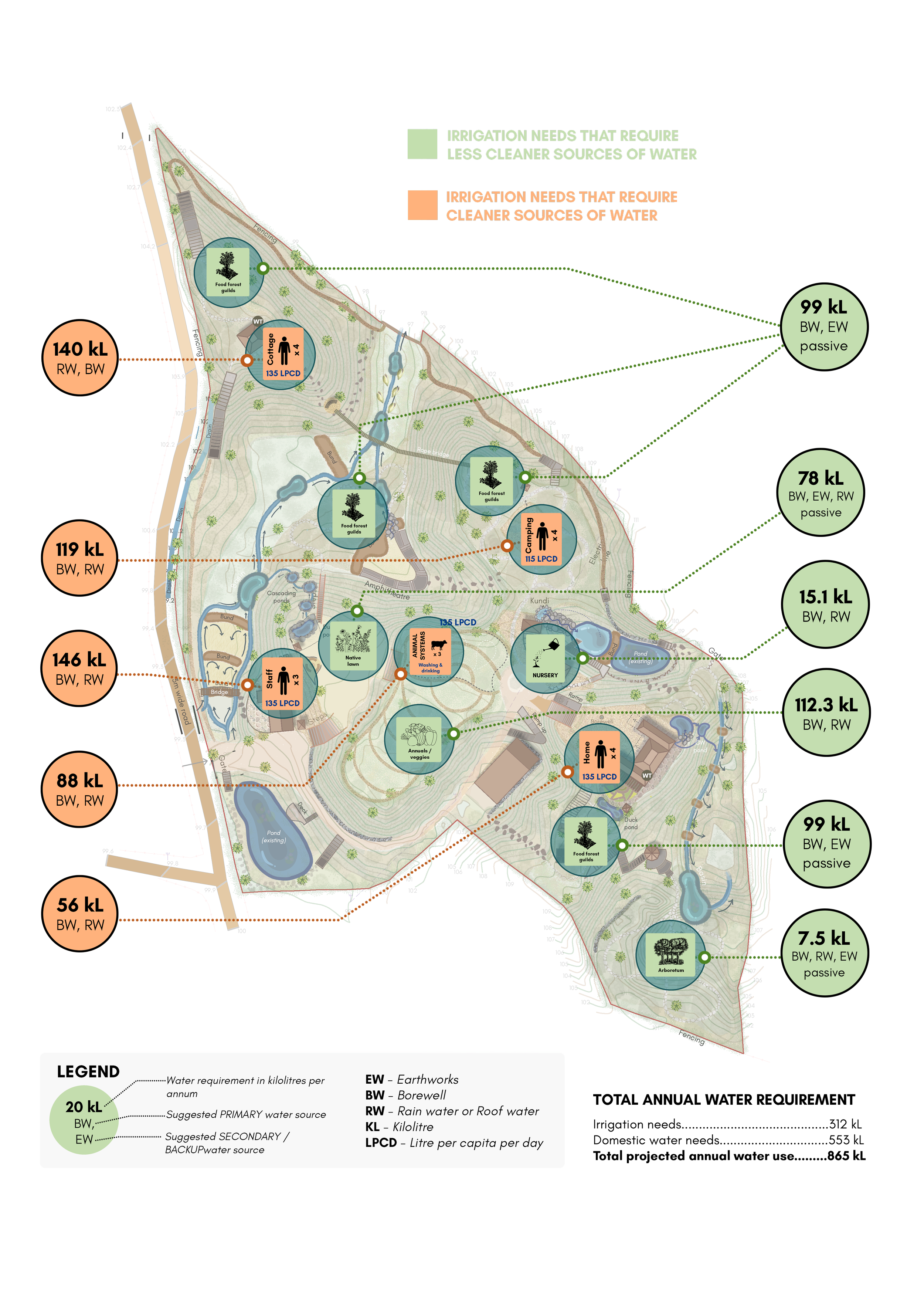
Water demands and sources
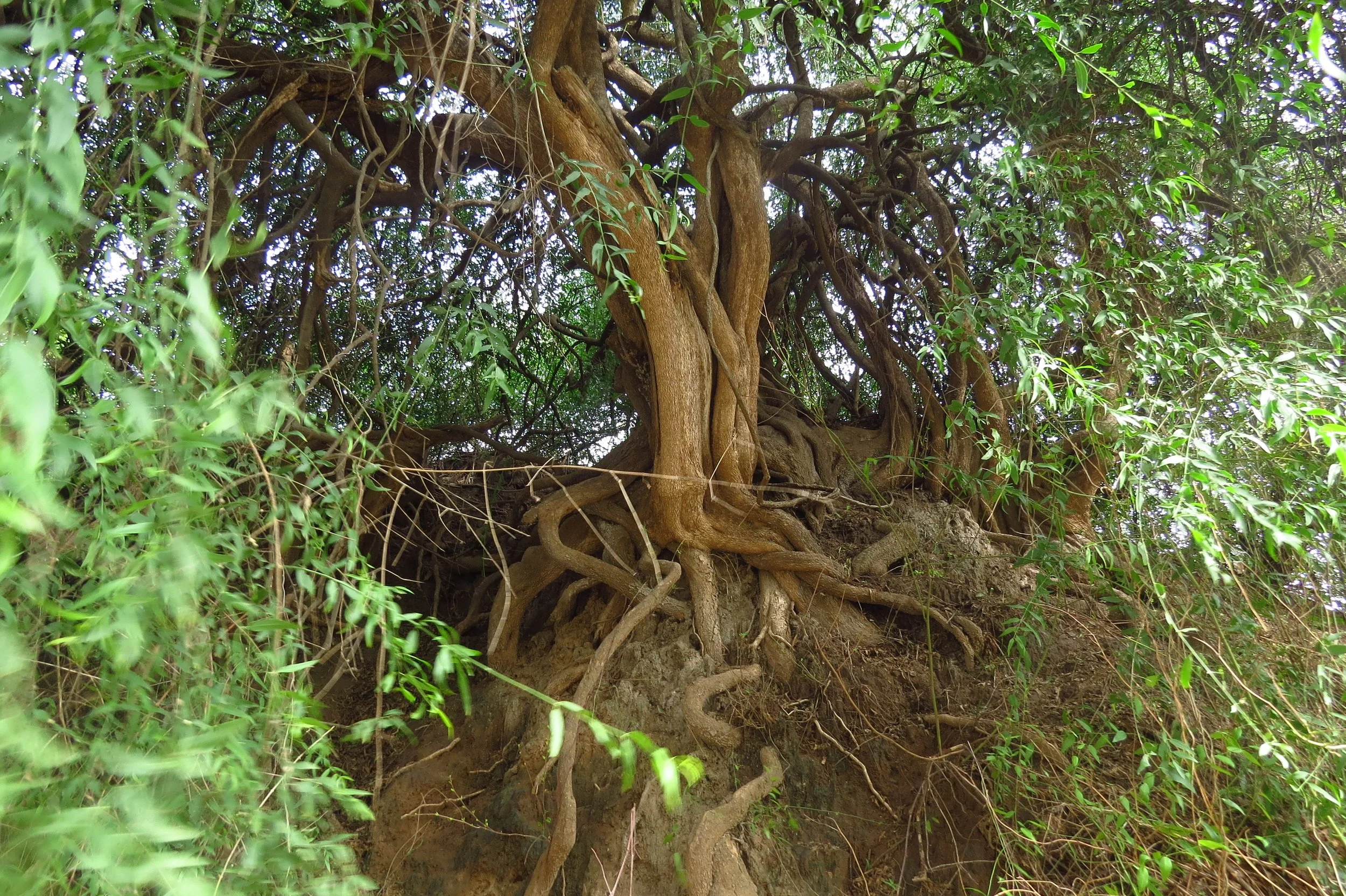
Salvadora persica - native, medicinal species
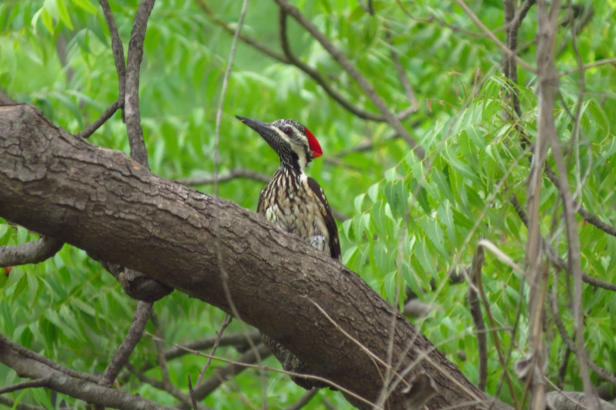
Black-rumped Flameback woodpecker

Nilgai
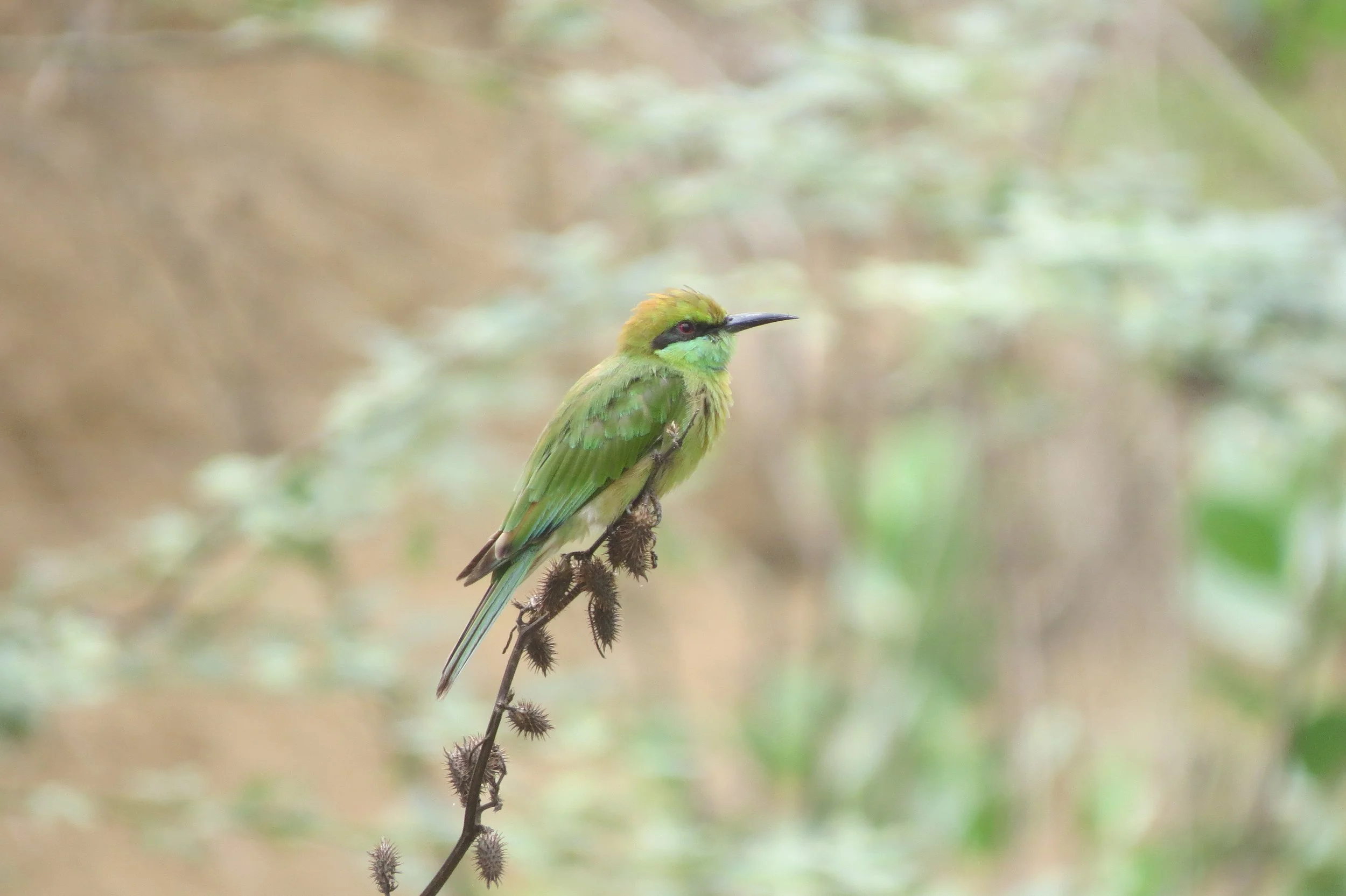
Green bee-eater
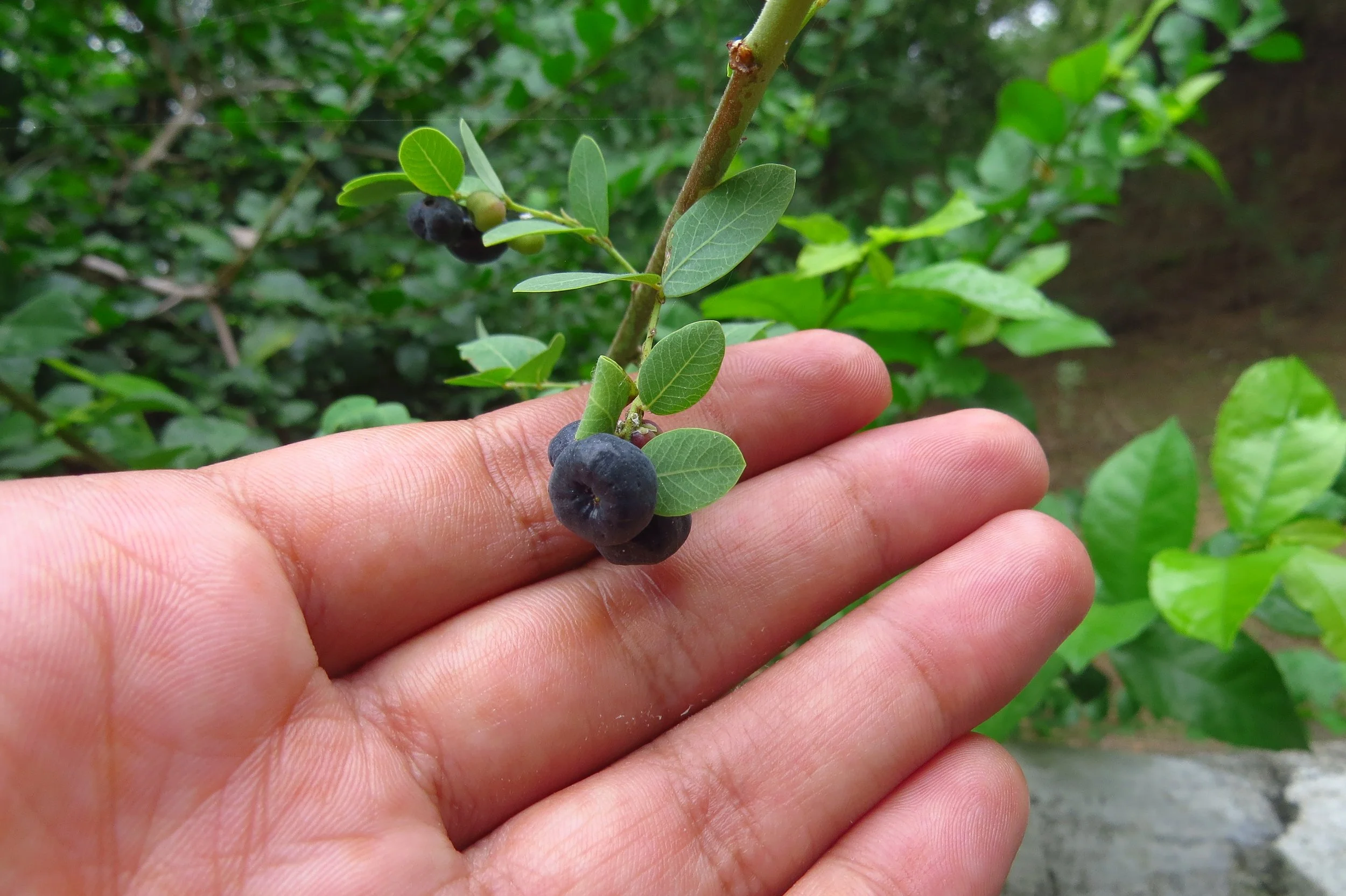
Phyllanthus reticulatus
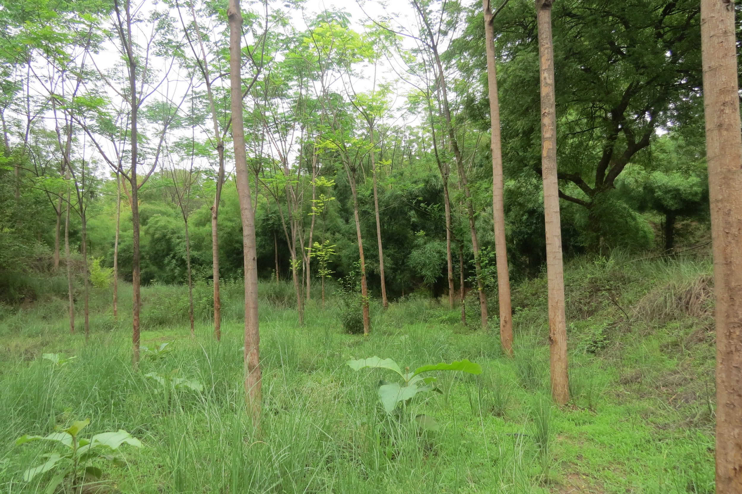
Zone with seasonal inundation
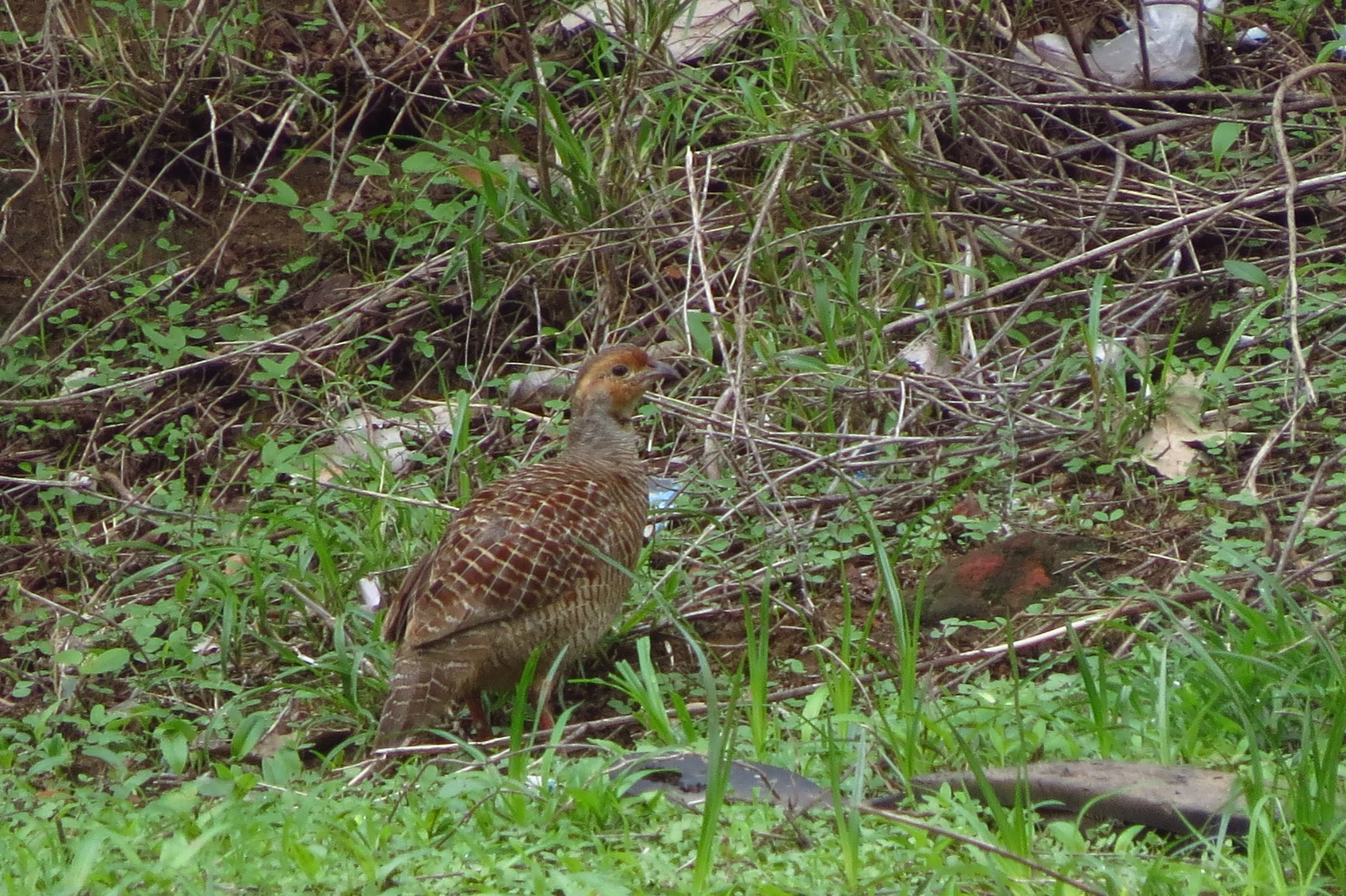
Francolin
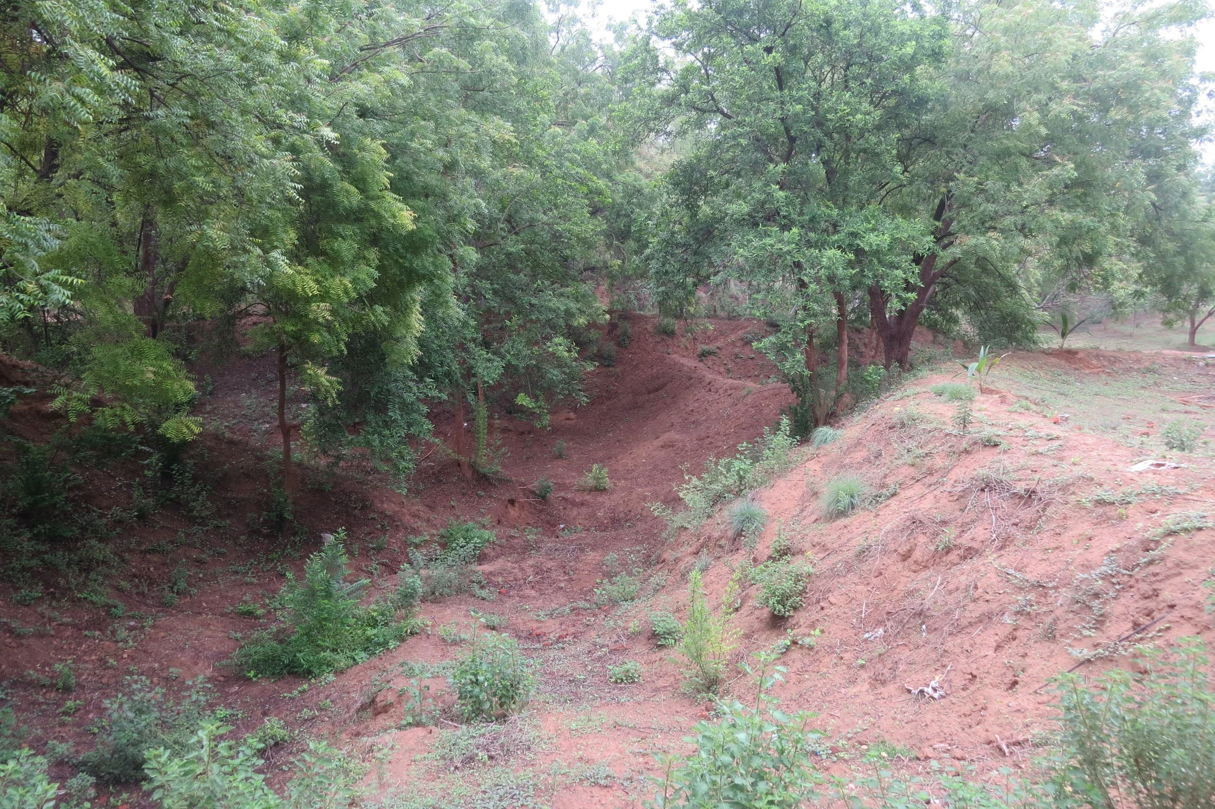
Sandy ravines
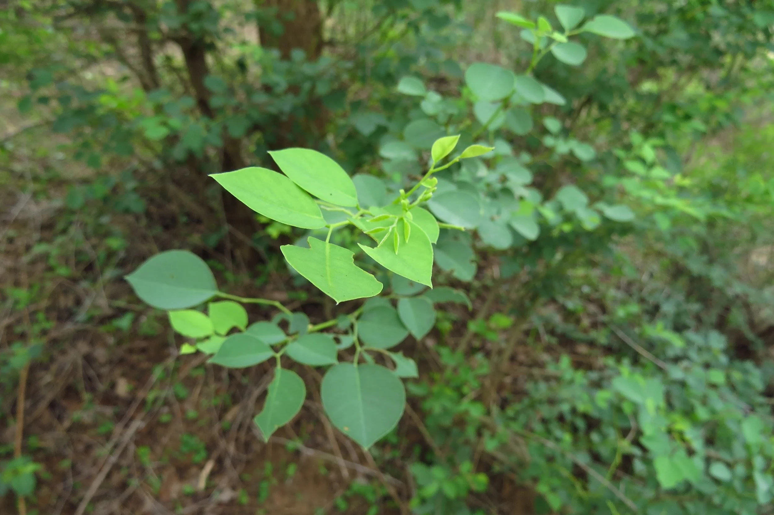
Dalbergia sissoo
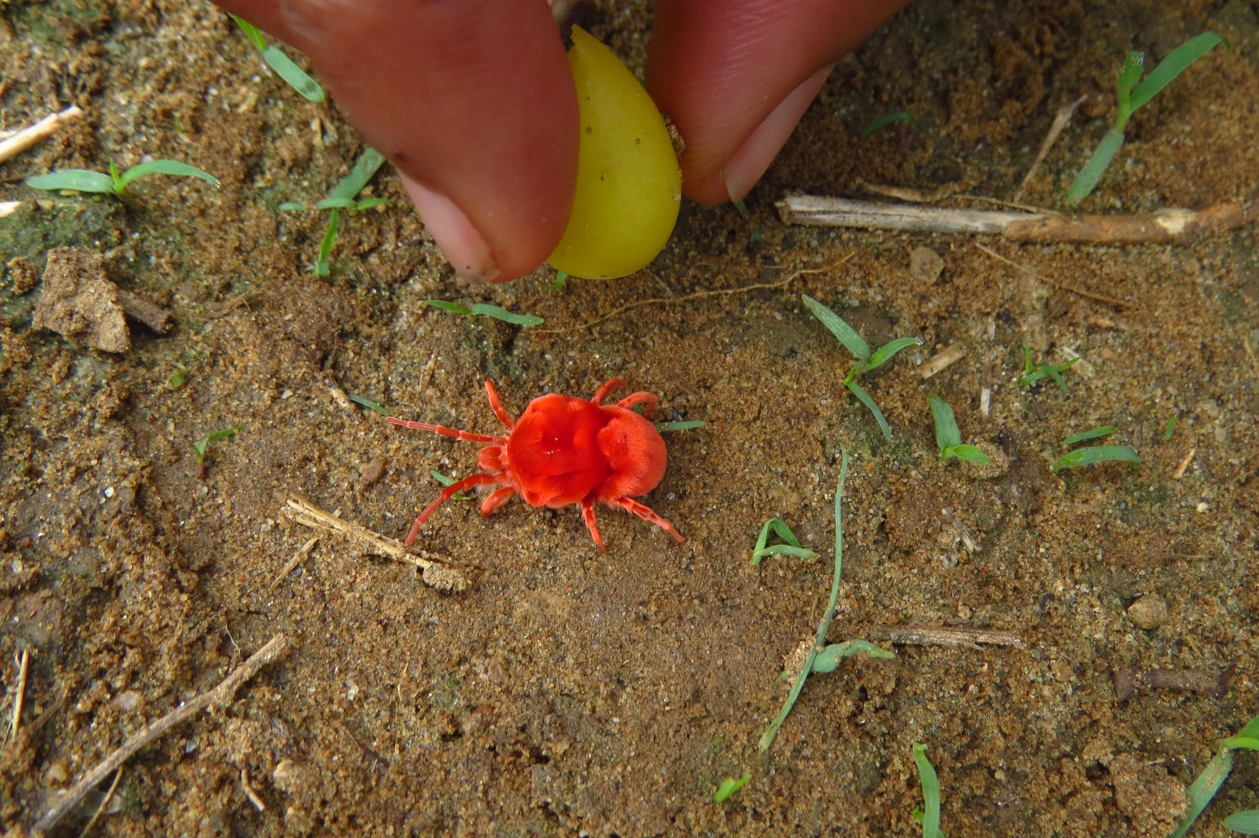
Red velvet mite
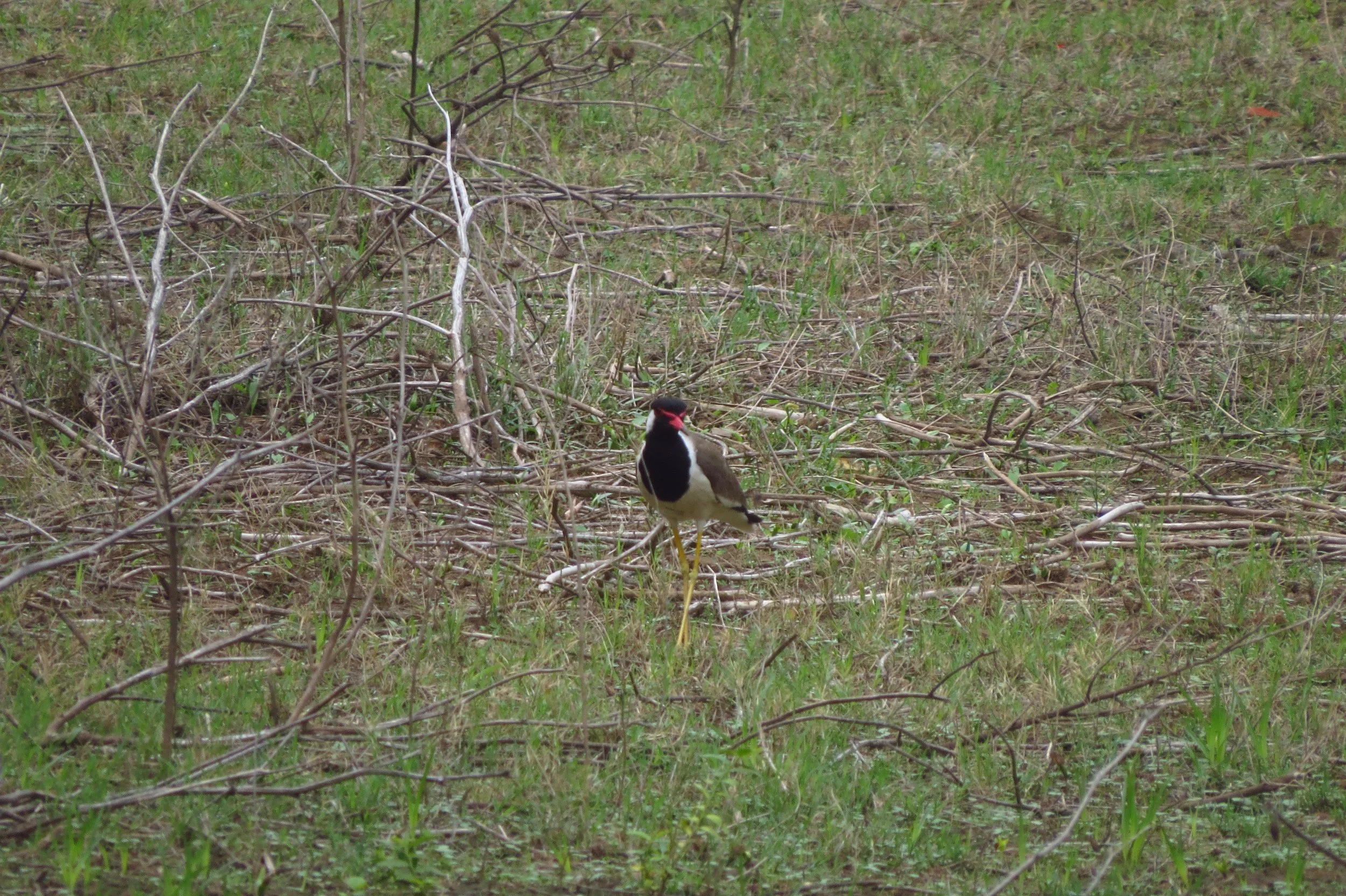
Red-wattled lapwing
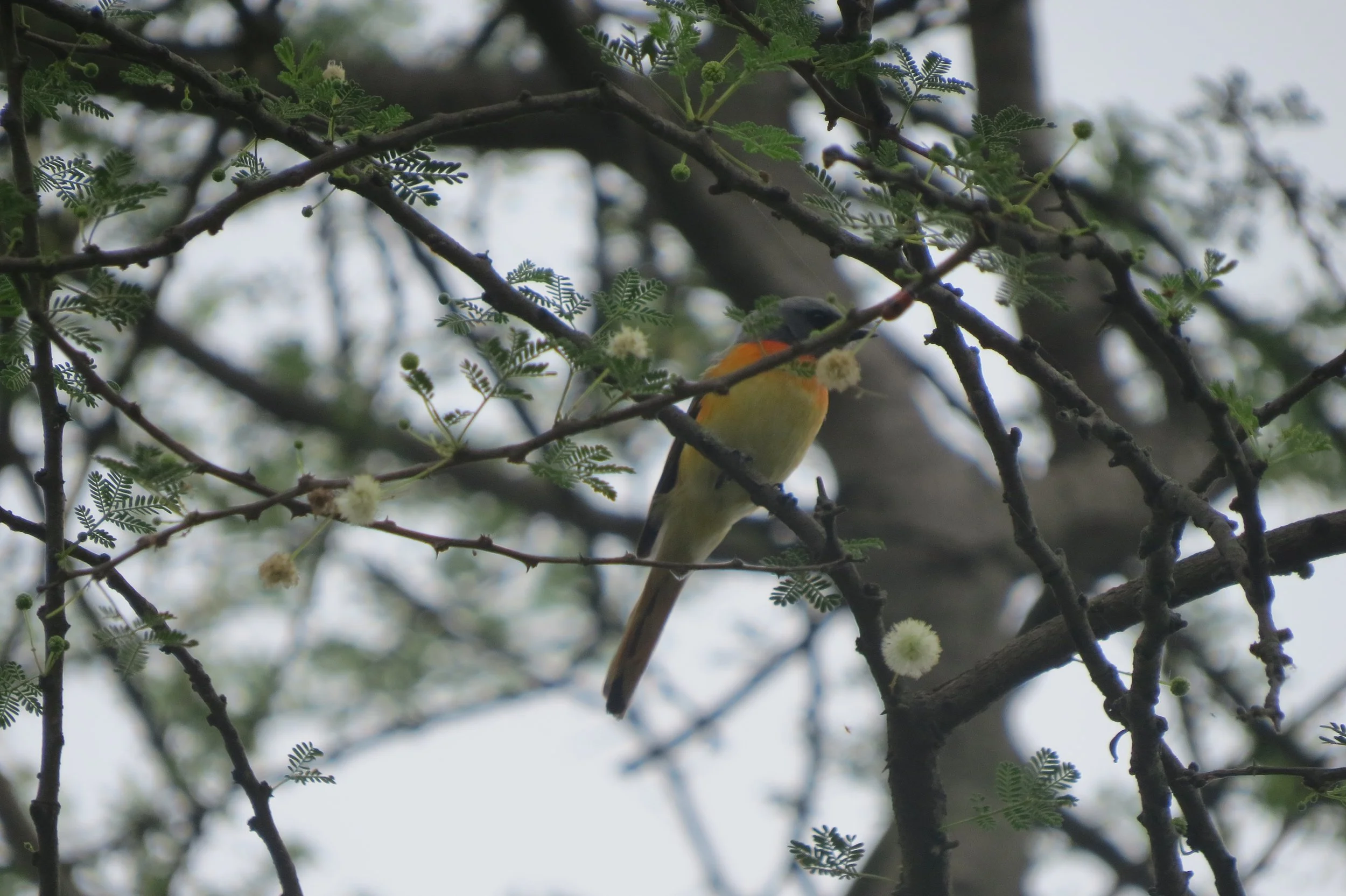
Small minivet
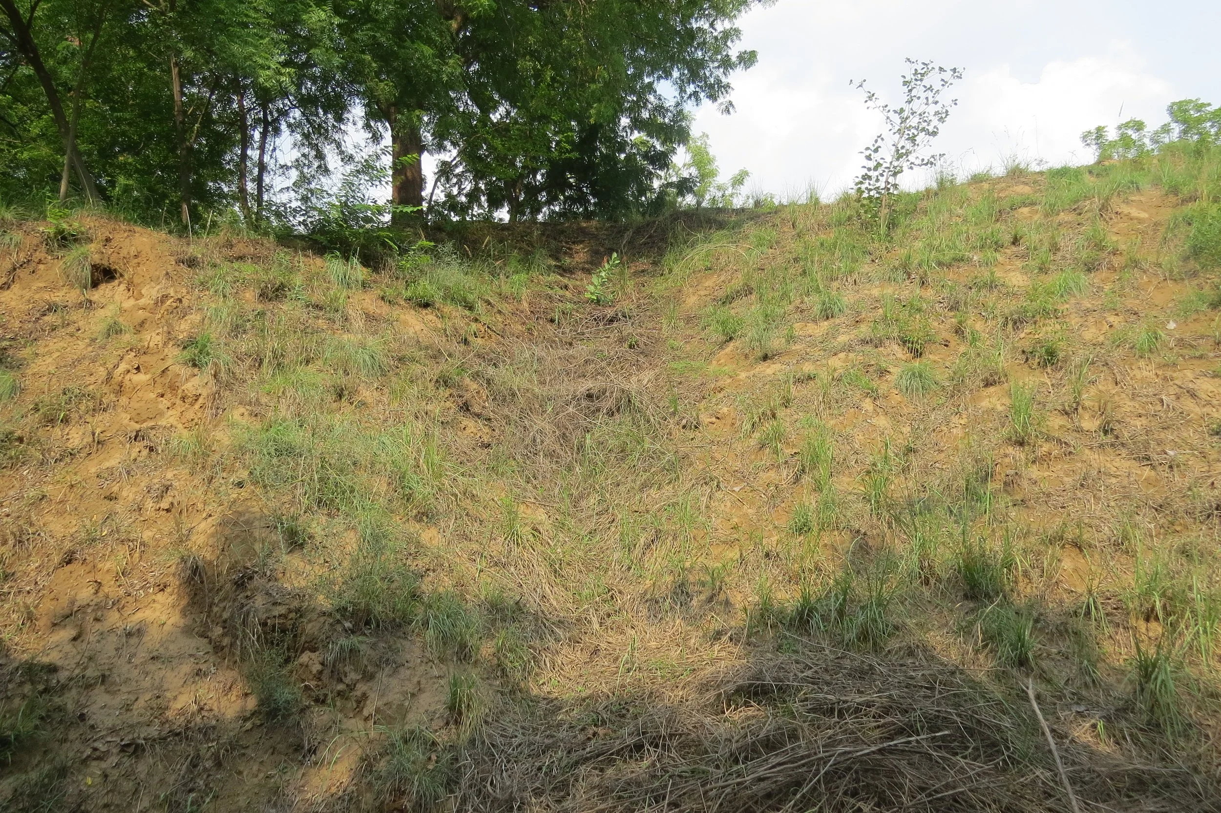
Water flow on site
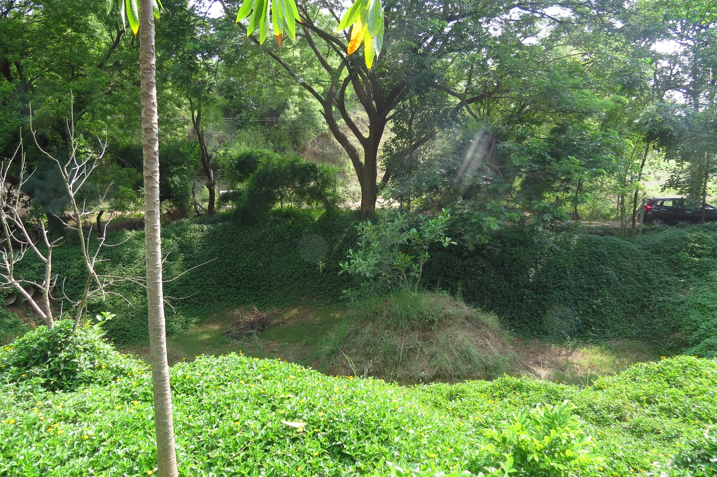
Existing pond on site
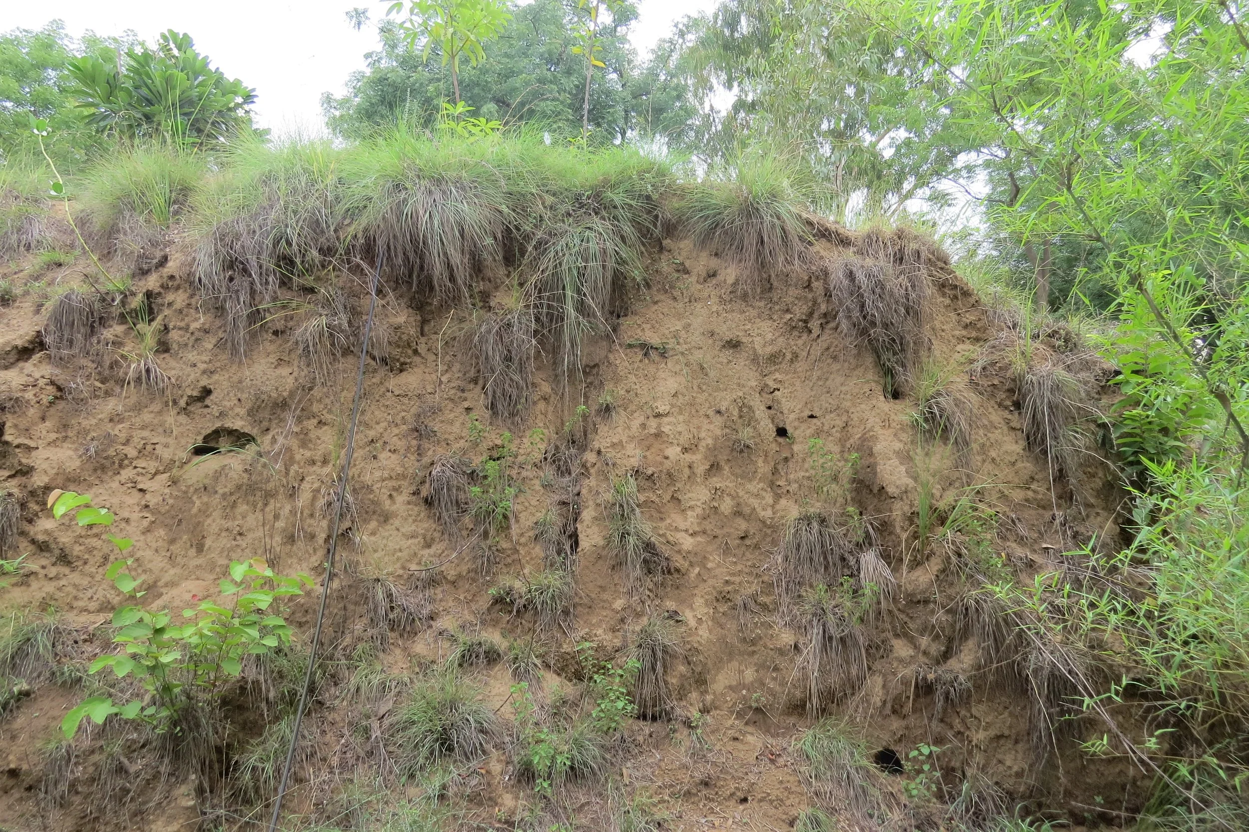
Sandy embankment with cavity nests
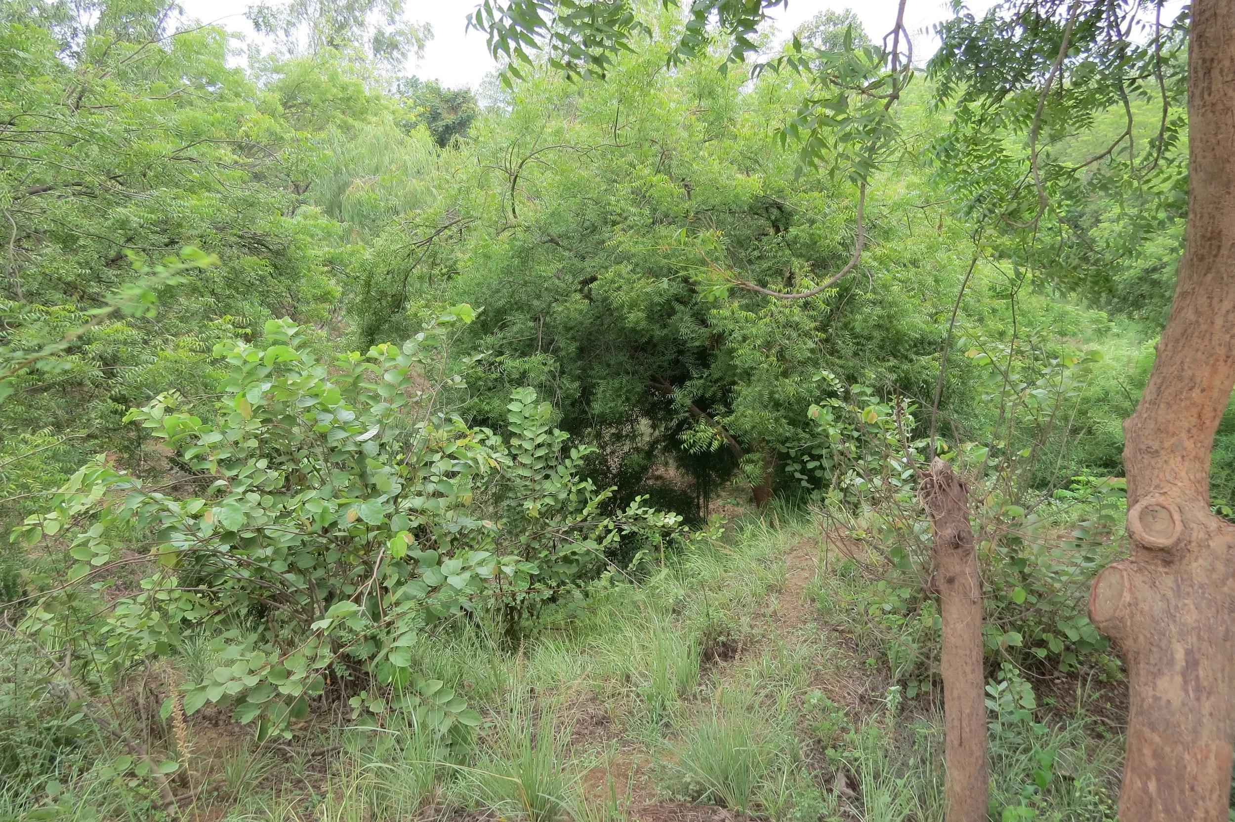
Wild zone on site
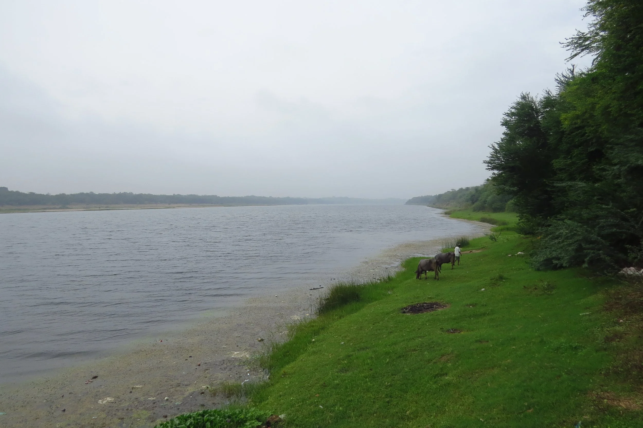
River Mahi
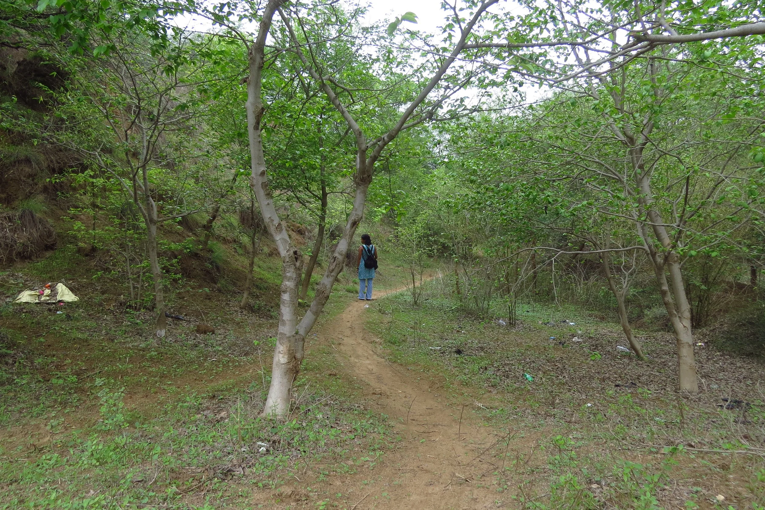
Reference ecosystem near site
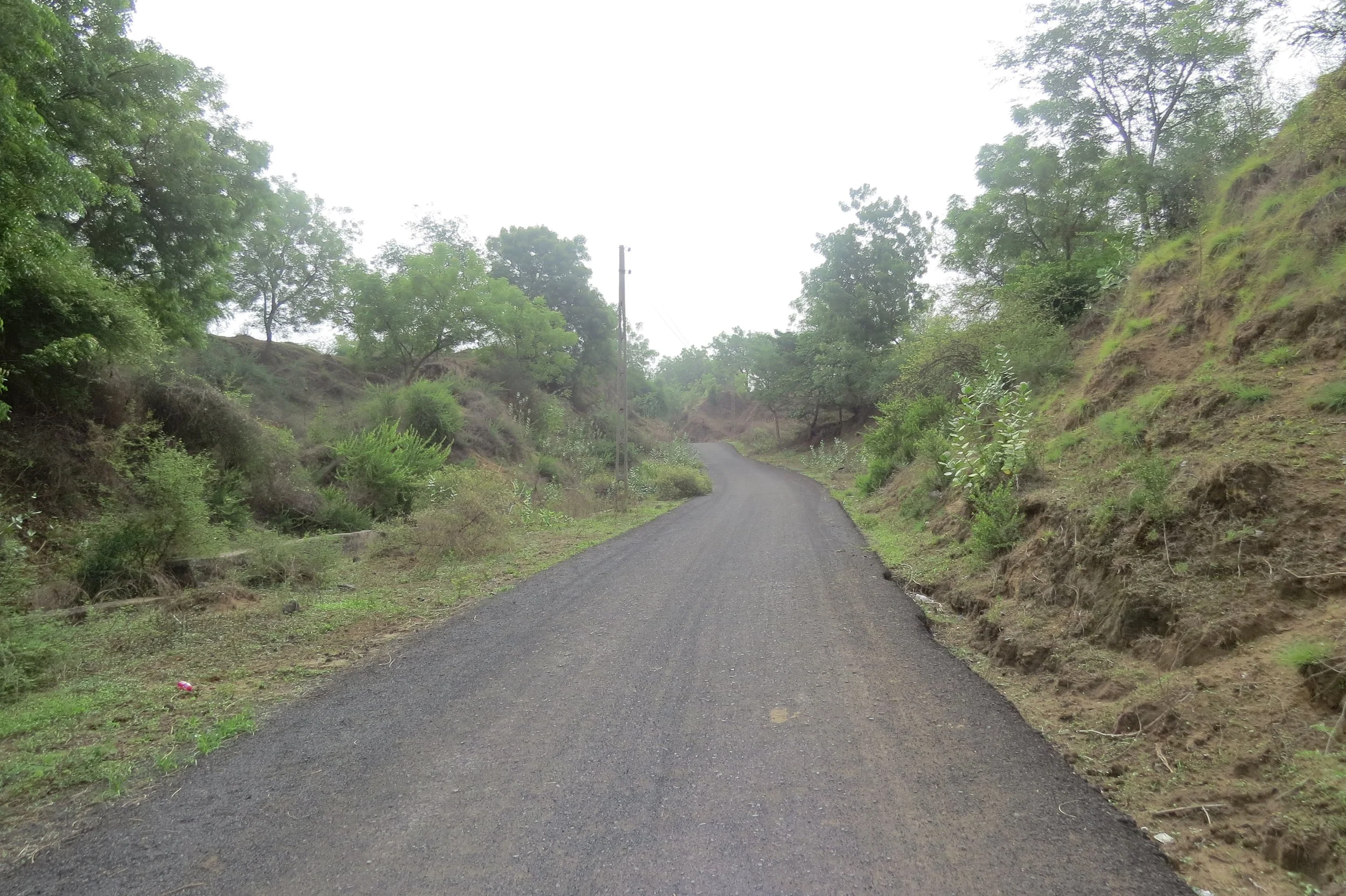
Road through slopes / ravines